
Carrizo plain National Monument
A sleepover in Carrizo Plain National Monument and a visit to the San Andreas fault line.
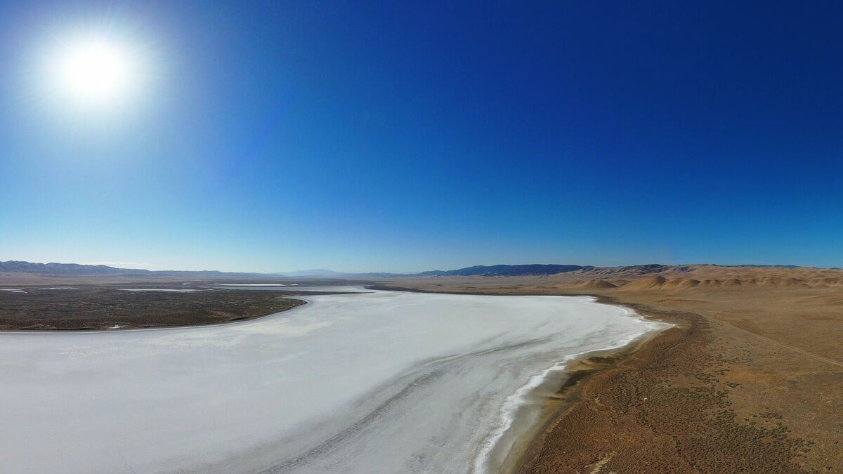
I was visiting San Diego, and on my way from San Francisco decided to stop by Carrizo Plain National Monument. It is known for a large salt lake (Soda Lake), and a beautiful flower bloom in early spring. Unfortunately, I was about a month or two late for that event. I did, however, get some night photography with the lake, and visited the San Andreas Fault, which is very prominent in this national monument. For this blog post, I am trying out an interactive map view of the route.
In the morning, I also took some drone footage. There was a serendipitous moment where I accidentally caught a bird flying through a narrow canyon. It was really amazing to see the San Andreas fault line from the air. It is quite inconspicuous from the ground.
Night photography
I started the drive in the late afternoon, and arrived at Carrizo Plain around midnight. It was really dark and the sky was clear. As the mountains around the plain block direct light from the surrounding cities, naturally it was time for some Milky Way photography. The shot to take was above the lake, and I took several shots to make a panorama of Soda Lake. It’s really fun taking multiple long exposures, alone in the dark, in the middle of nowhere, standing in the cold.


Campground
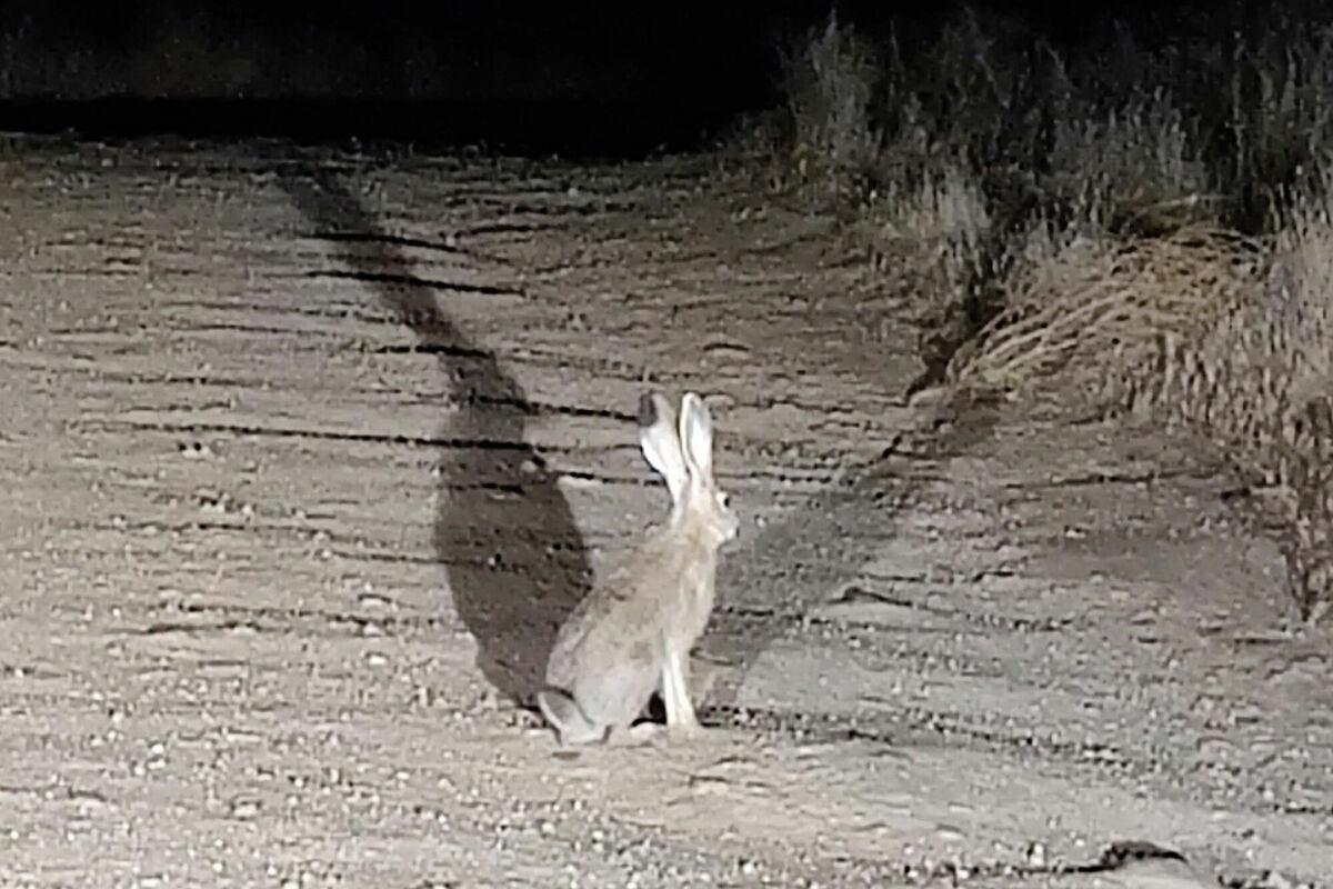
The way to the campground was uphill on a dirt road. Apparently I share the nocturnal trait with some bunnies, one of which was leading my car. He (she?) was running on the road in front of the car for quite a long time. I’m really glad I wasn’t in a horror game and the bunny didn’t turn out into some monster from another dimension, as they do.
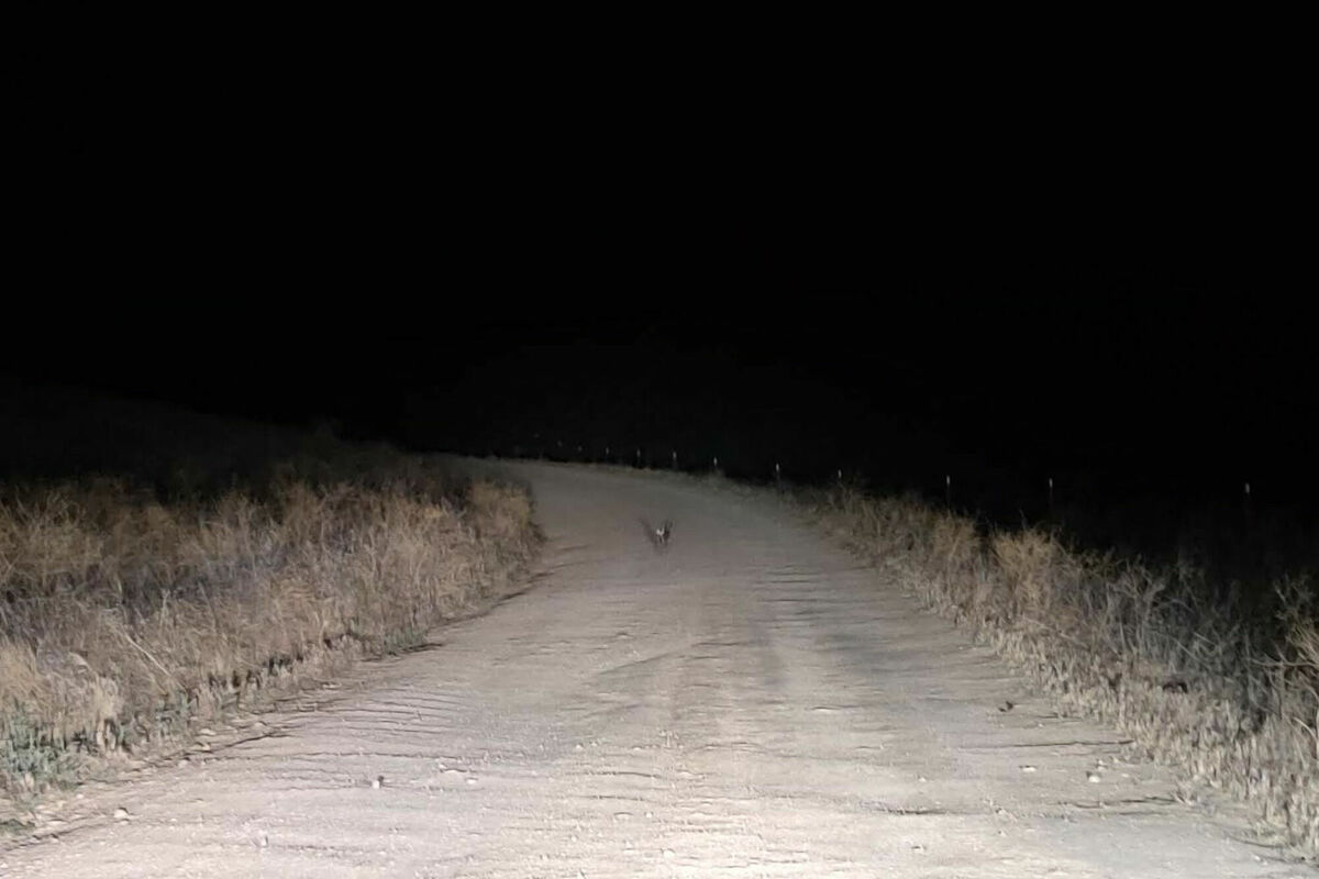
Dawn
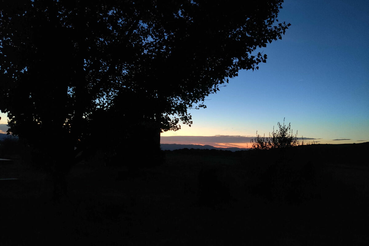
Having slept in the back of my car, the view was looking east, so there were some nice views of the sunrise at dawn.
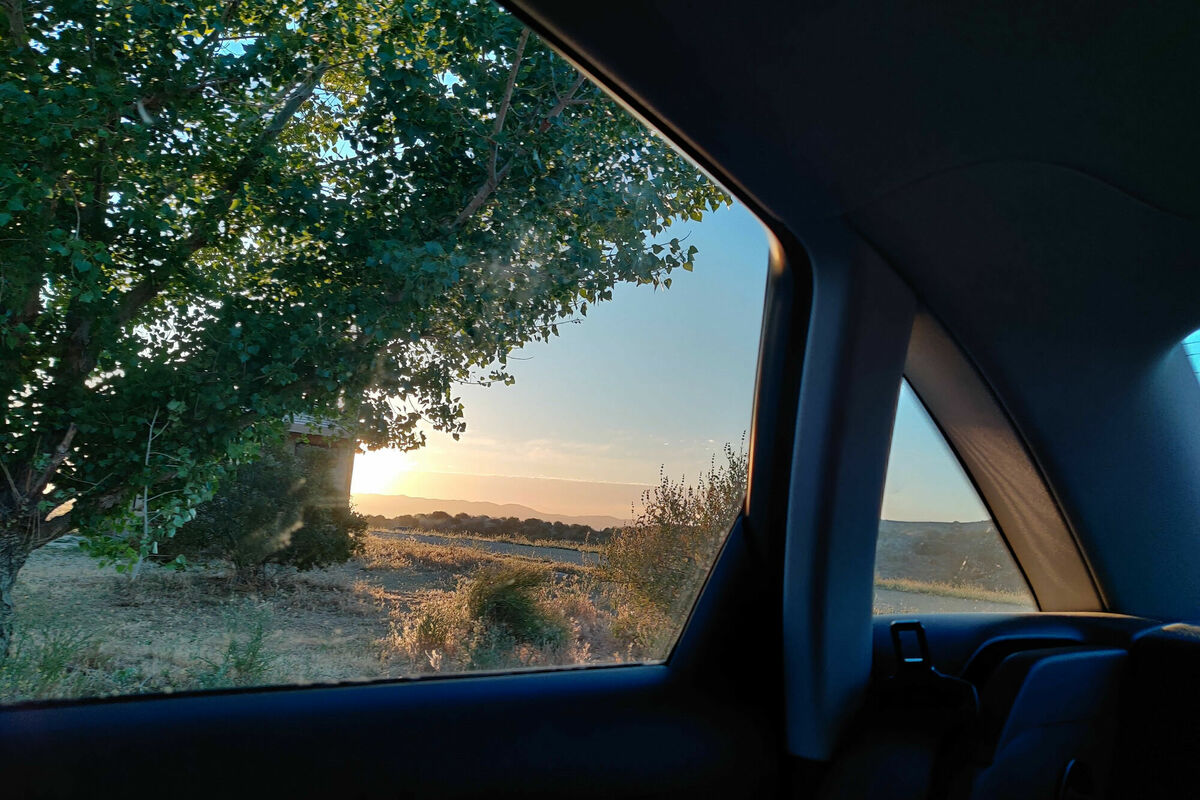
There were some nice views on the way back down into the plain. I also ran into some big-eared toll collectors.
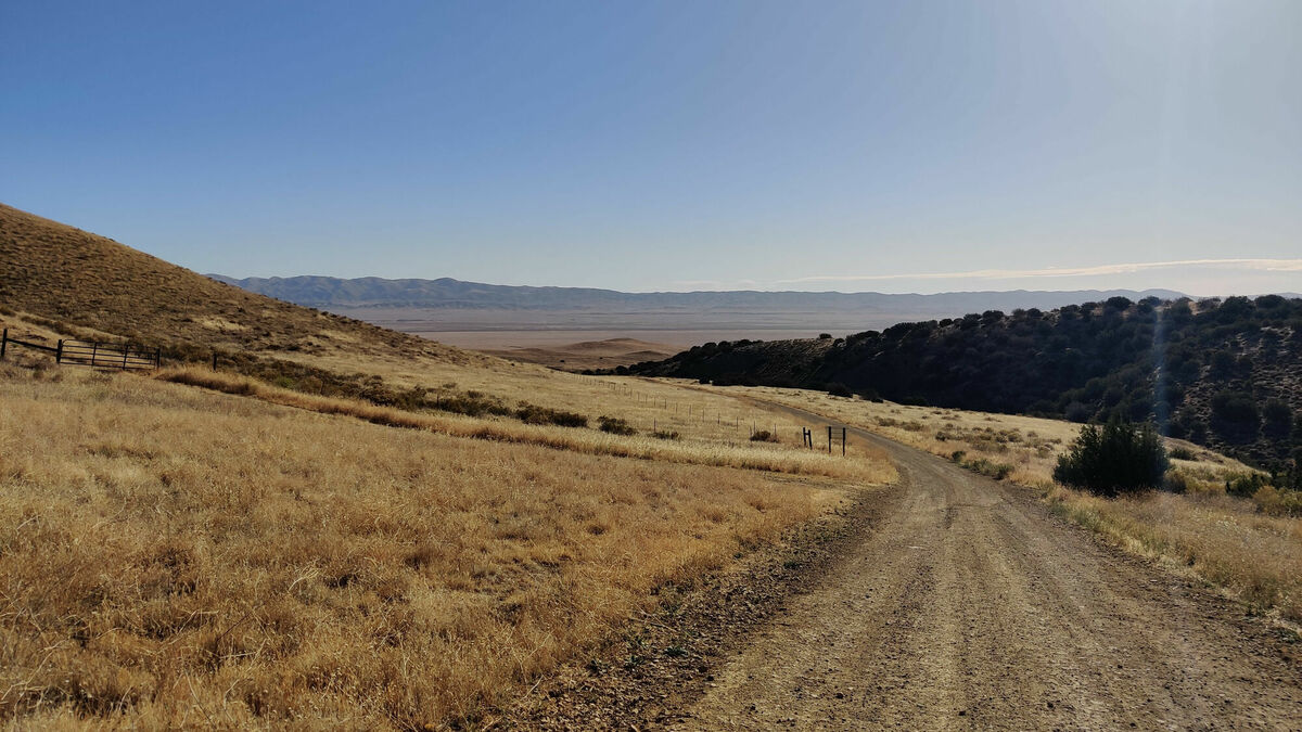


The view from the “ridge” was quite something, with views of old, weathered hills covered in dry grass.

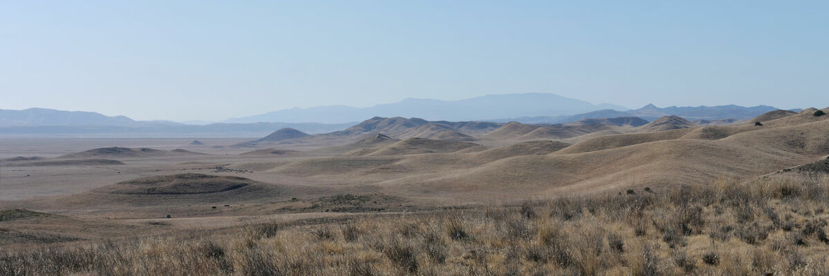
Soda Lake
The first stop was a viewpoint of Soda Lake, for a good old daytime panorama and some drone footage.

San Andreas Fault
Another reason to visit the plain was to see the San Andreas Fault. It is visible on the south east side of the plain. The way there is a dirt road over the flat plain.

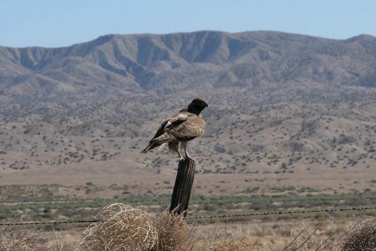
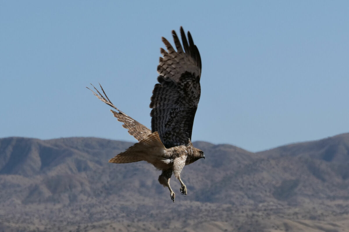
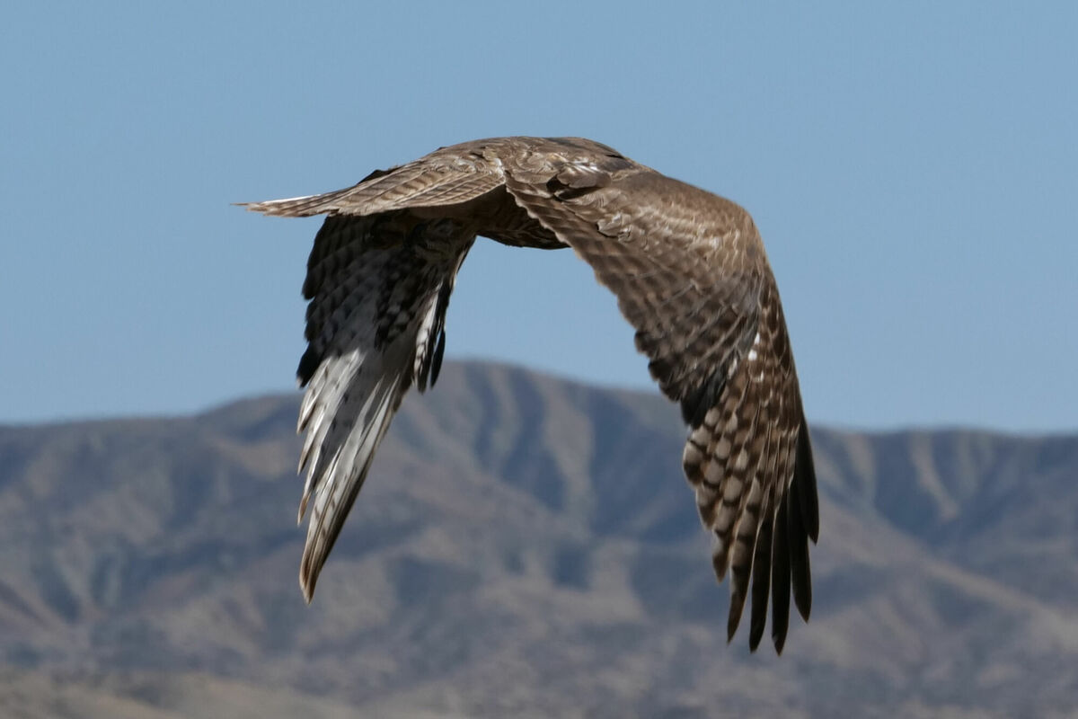
I was lucky to be followed by a pretty cool hawk (I think) waiting on the fence on the side of the road. I really hope he caught lunch.

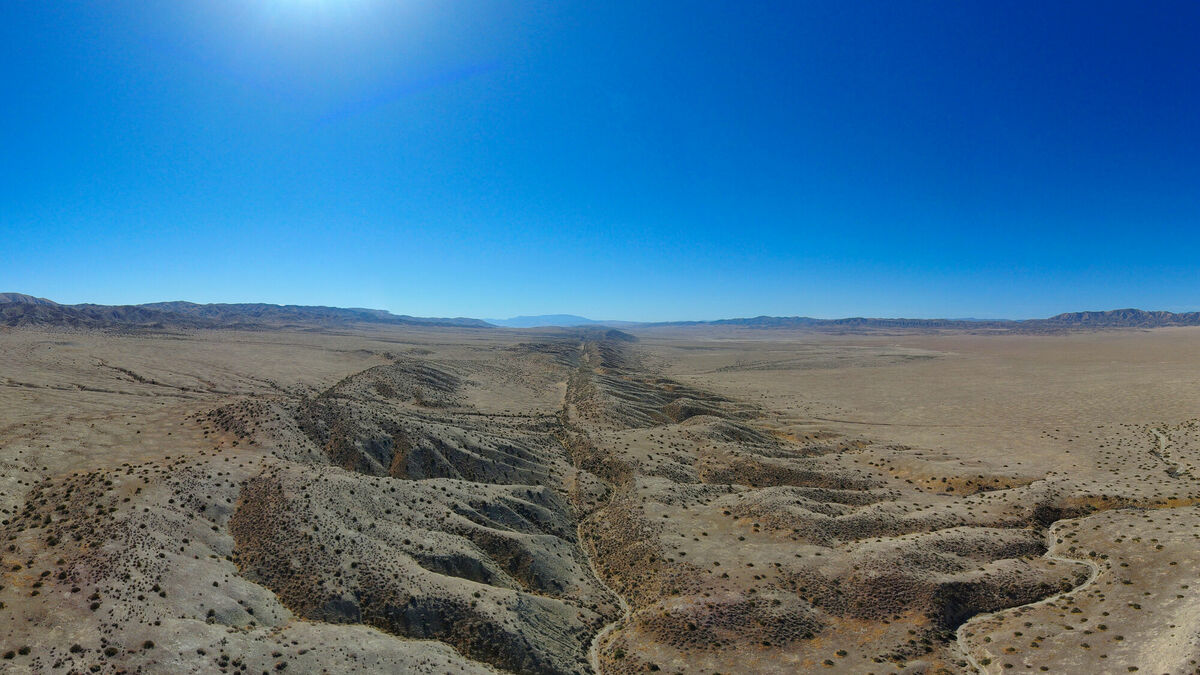
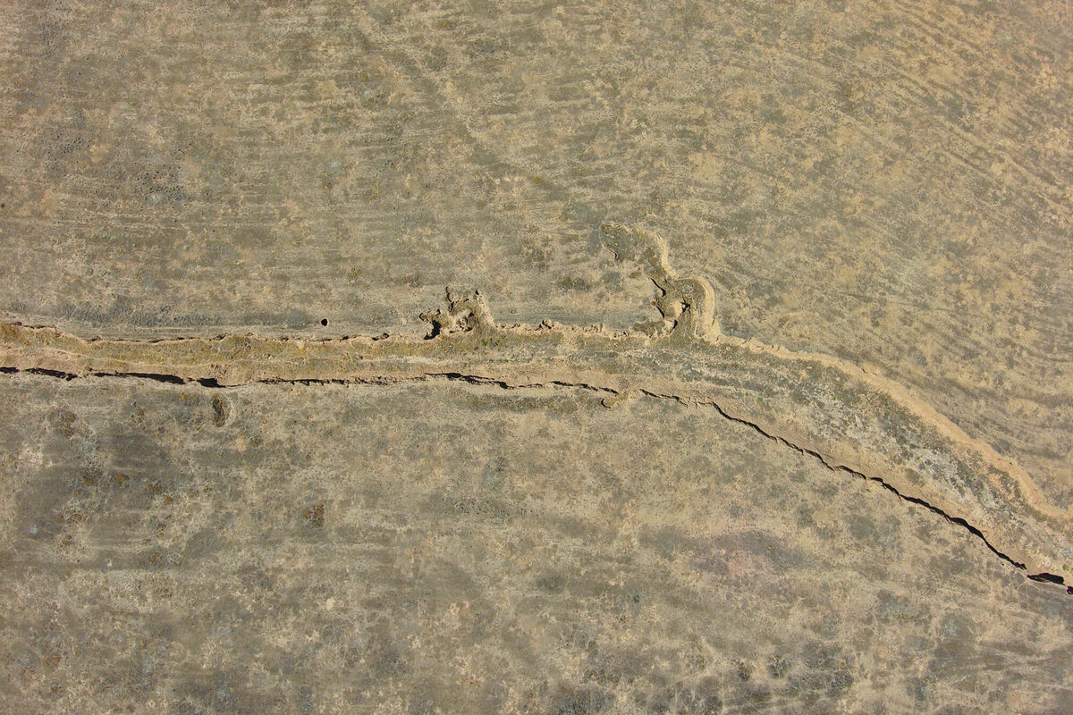
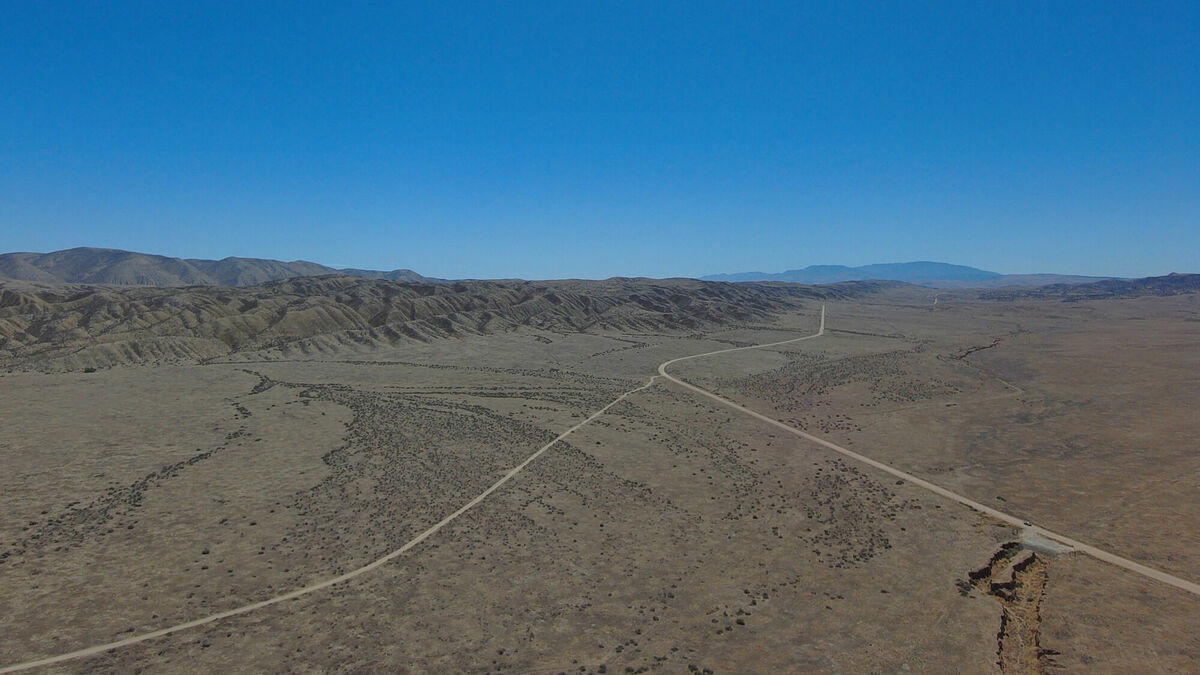
Finally getting to Elkhorn Scarp, I took some drone footage and panorama photos of Dragon’s Back. This fault separates the North American Plate and the Pacific Plate. It’s not much of a sight from the ground, however the aerial view is much better.
Plains
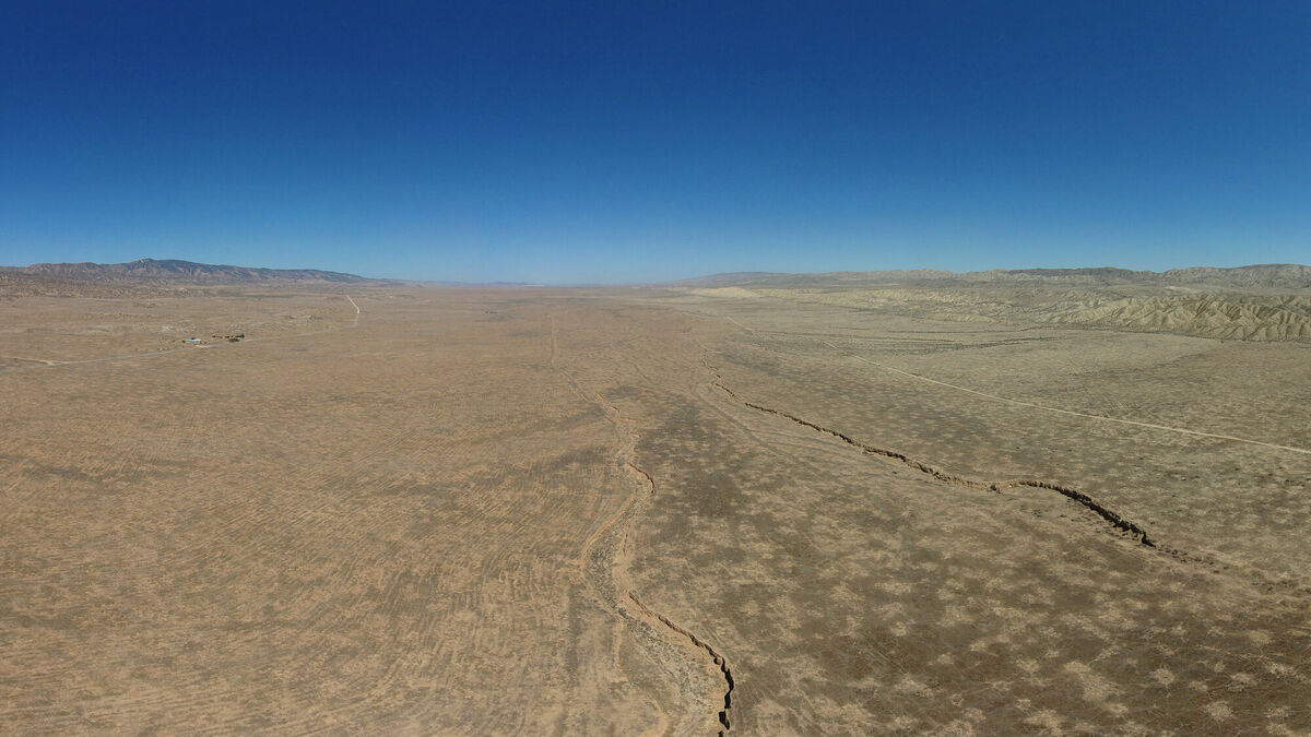
Driving out south, I stopped on the the plains to take drone footage of a tiny canyon going through the plain. The aerial view shows lines in the tectonic plate that are difficult to see from the ground. I found it to be quite an interesting sight.
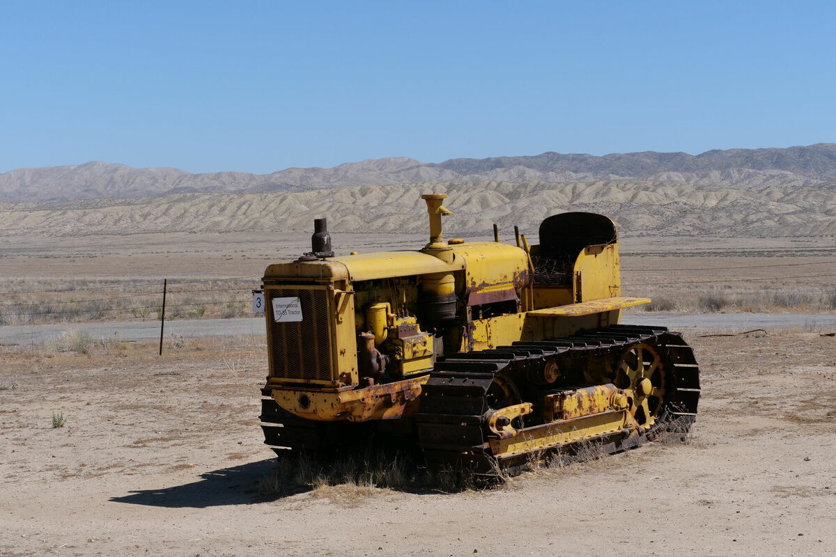
Of course, old construction equipment is always to be found in remote, deserted places.
Joy ride
The road out of Carrizo plain was nice and curvy, turning the trip into a bit of a joy ride.

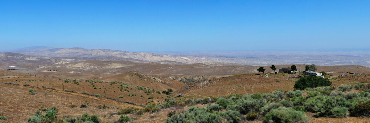
I drove up to Bitter Creek National Wildlife Refuge and took a panorama looking towards Carrizo plain.
The trip continued south on Hudson Ranch road through the mountains and canyons, with interesting and unexpected scenery. The road took me through Pine Mountain Club, Lake of the Woods, and Frazier Park, before merging back onto I5 on my way to San Diego.