Road trip journal #13: Going to the Sun and back
Bison national range and Glacier National Park
Summary
- Start: 11:30 (Missoula, MT)
- Finish: 22:55 (Kalispell, MT)
- Distance: 288 mi (461 km)
- Mood: lazy
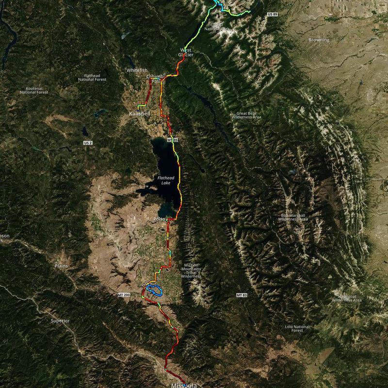
My plan for the day was to get north. Glacier National Park was pretty far away, so I didn’t know if I would reach it, since I wasn’t feeling too fresh. So, I took it slow, and didn’t have a plan where to sleep tonight. I plotted a Google Maps route from Missoula to Glacier NP. Along the way was National Bison Range, with possible wildlife viewing opportunities. So, that was the first stop for the day, hopefully to relax and take a nap.
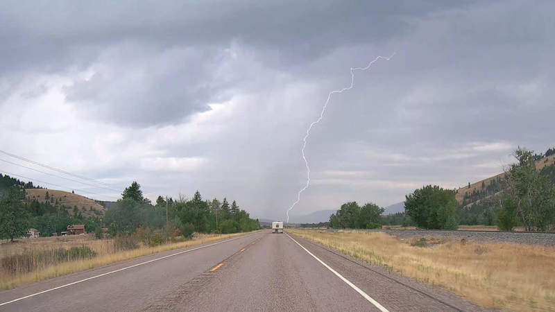
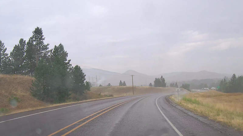
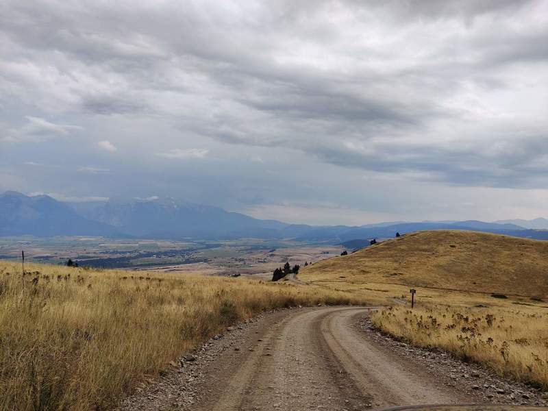
A rainy road
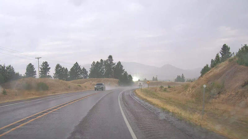
Soon after I left Missoula, it started getting cloudy in the distance. As I approached the National Bison Range, rain clouds were visible in the distance, full with some lightning strikes.
As it started raining, I saw an electric substation go “BOOM”, followed by some magic smoke.
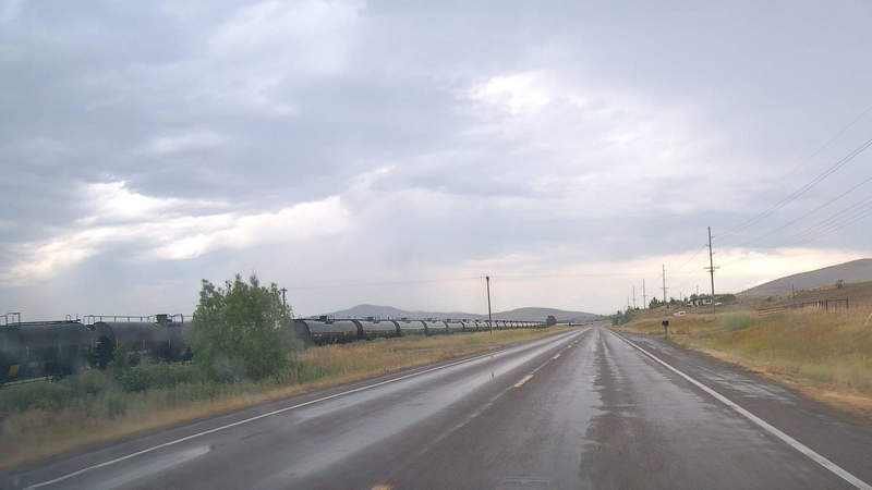
There was a pretty long train composition very close to the range, I found it pretty fascinating.
National Bison Range
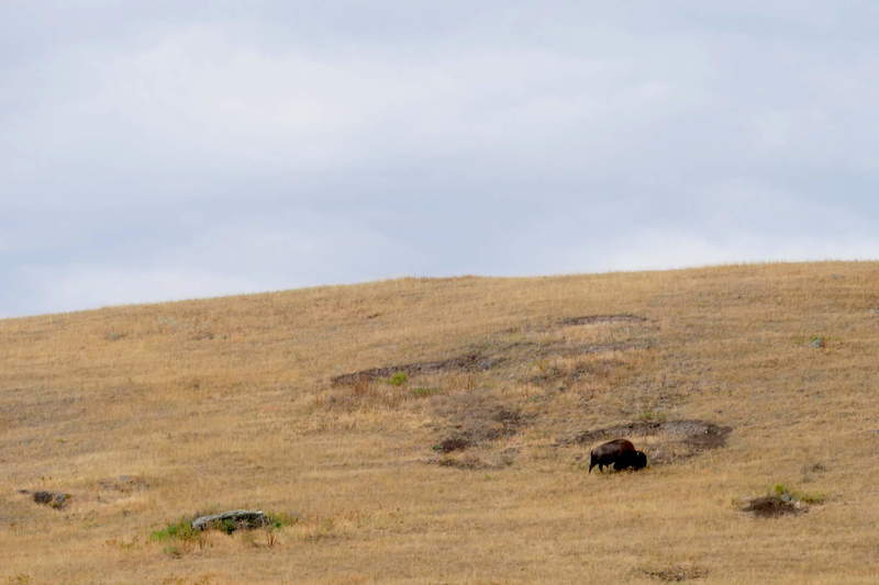
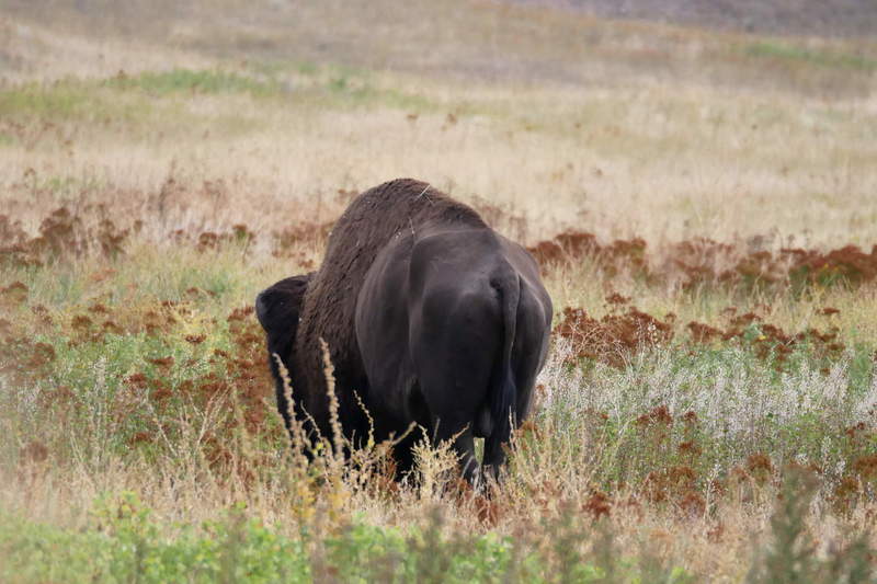
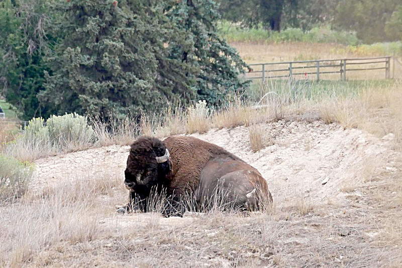
I was finally here, and I wanted to see some bison. There is a $5 entrance fee, and it’s a self-guided drive around the range. There are several options, and I took the longer 2-hour one, driving around the whole area on a mountainous dirt road. The hill offers some nice views of the surrounding flat area.
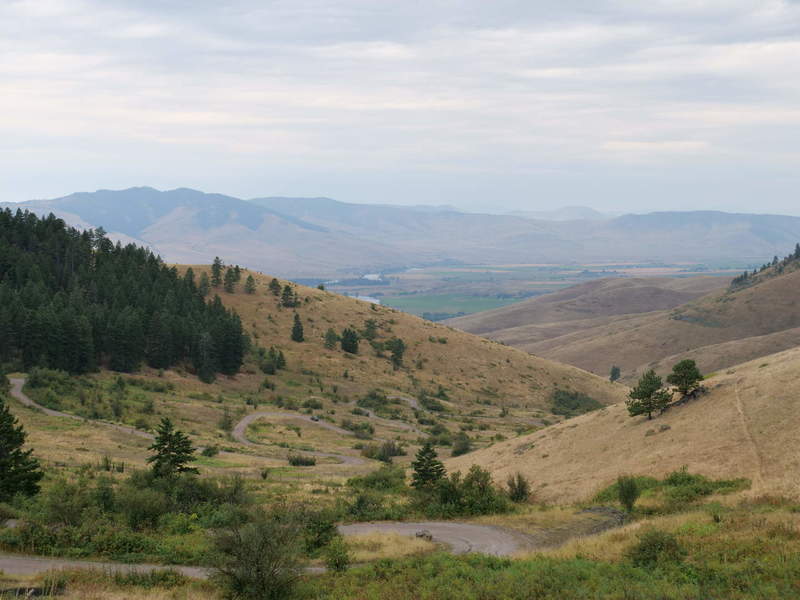
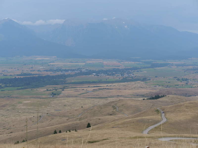
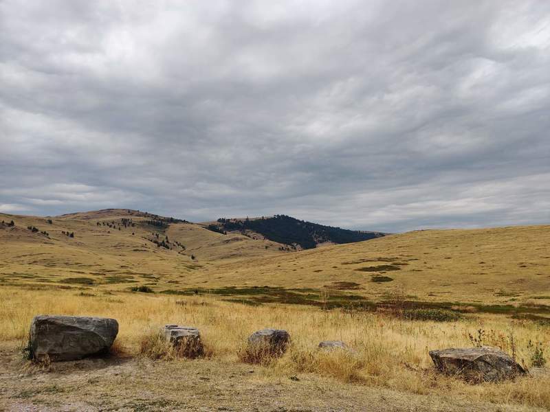
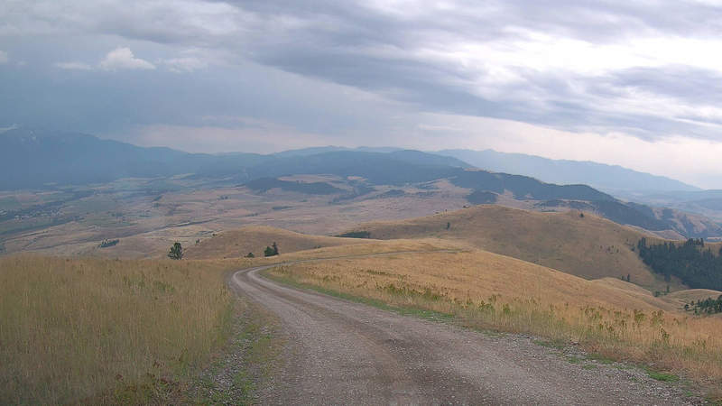
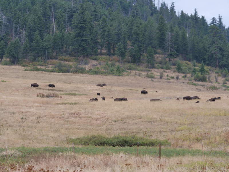
During the long and dirty drive, there were no bison to be seen. The drive goes up the hill before looping back down to a prairie. The views on the hill were pretty nice, with the nearby mountain range clearly visible. Ok, hazily visible. Near the end of the drive, finally there were some bison grazing in the distance. I took out my long lenses and started taking photos and videos.
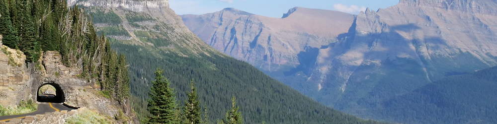
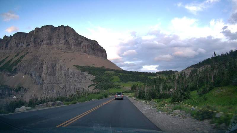
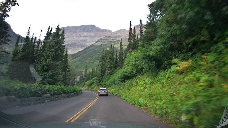
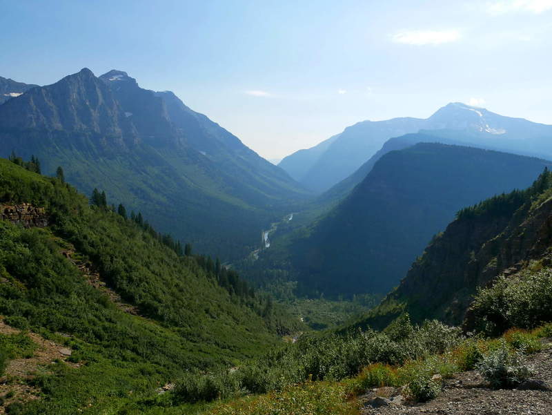
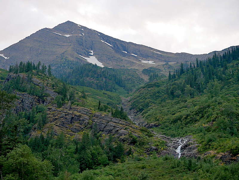
Glacier National Park
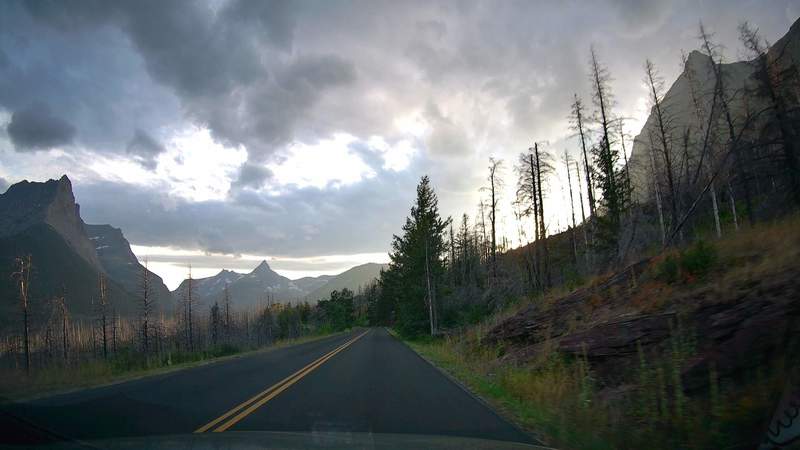
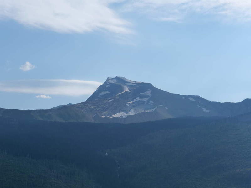
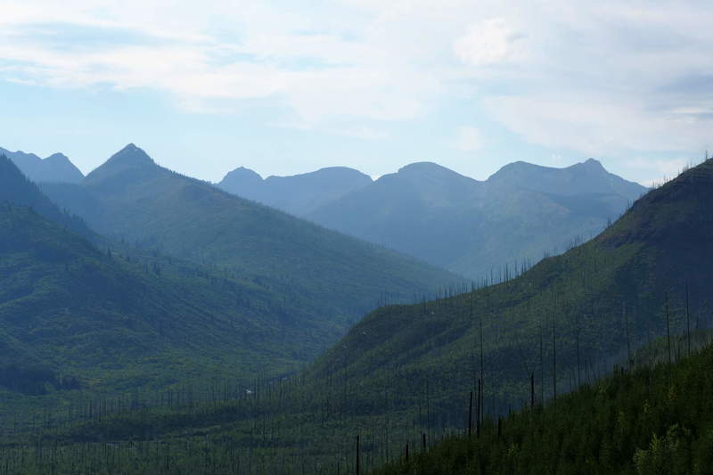
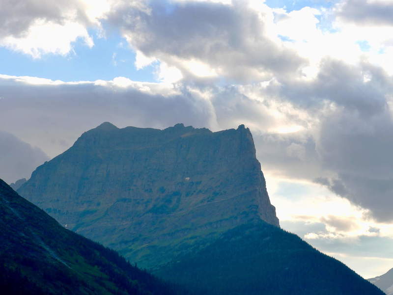
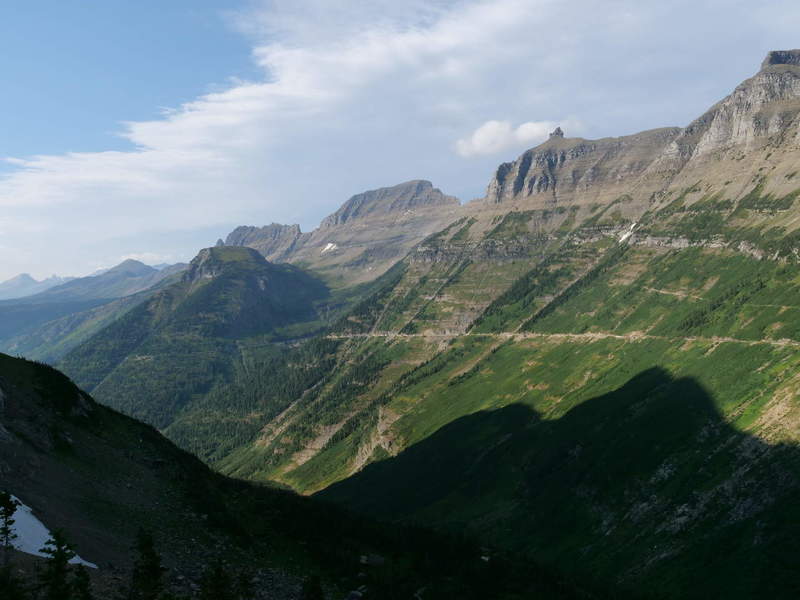
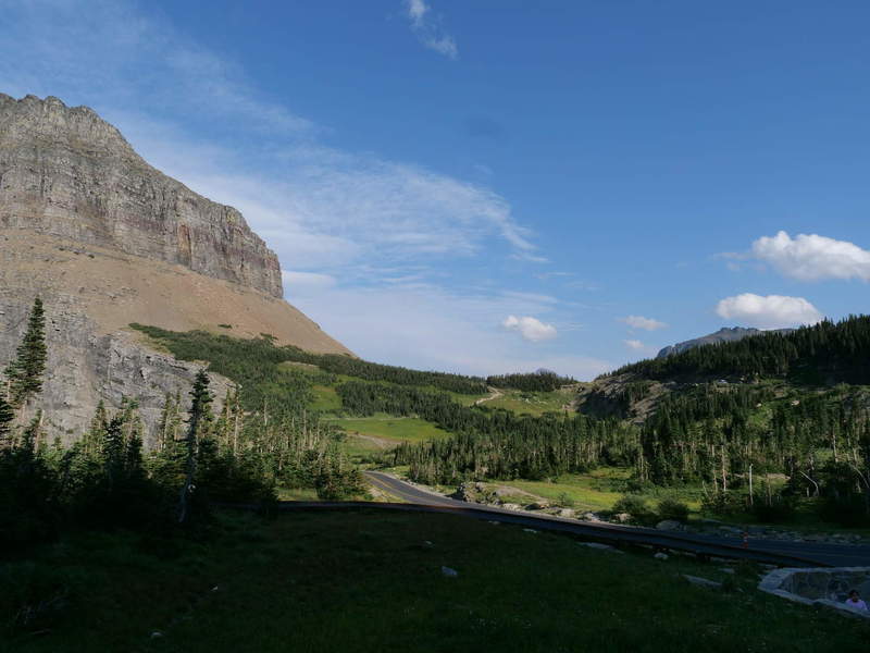
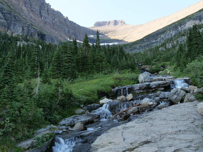
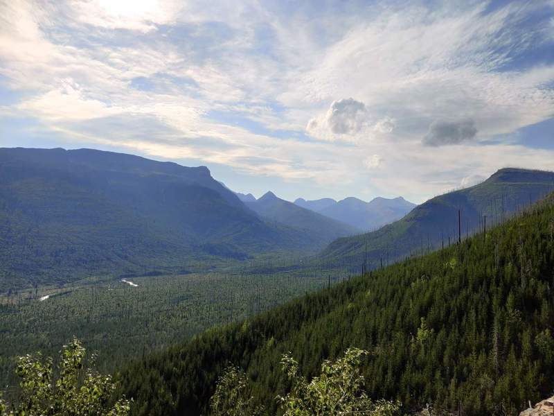
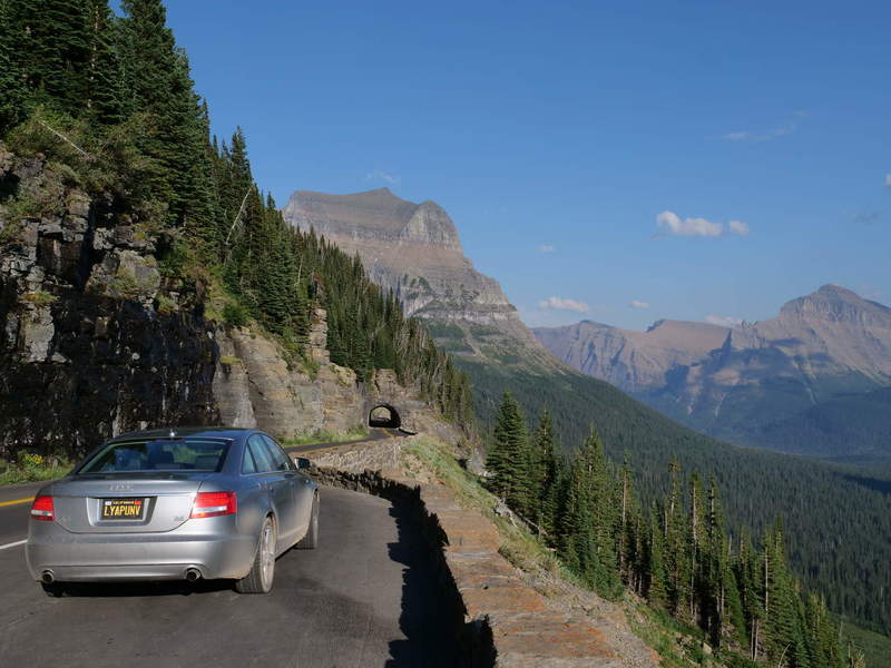
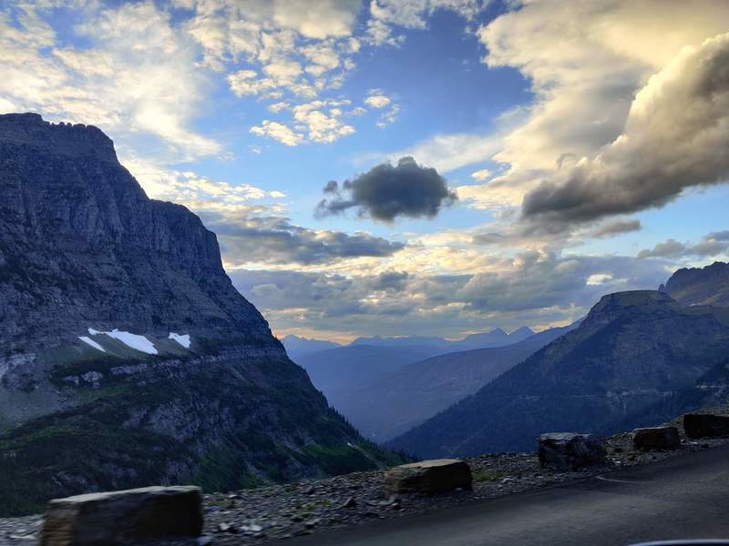
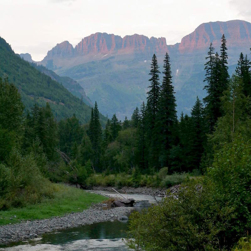
There is one main road going through Glacier NP, called Going to the Sun Road. I arrived on the west side of the park. The east side was closed due to it being on a native American reservation, which was closed due to COVID. So, the only option was to drive to the east end, and then drive back. One-way it takes about 1.5 hours. The views were amazing, and kind of reminded me of the European Alps. The mountains are of glacial origin, with most glaciers already gone, so it makes total sense.
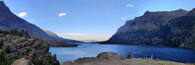
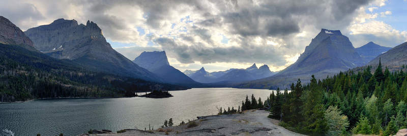
Once reaching the east end of the park, I went to a viewpoint of Lake St. Mary.
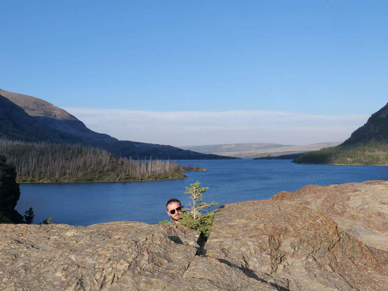
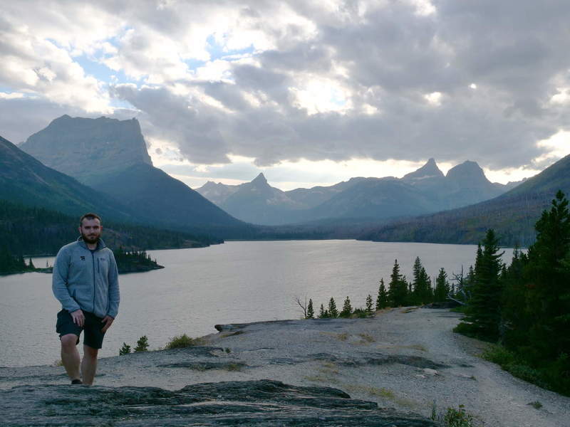
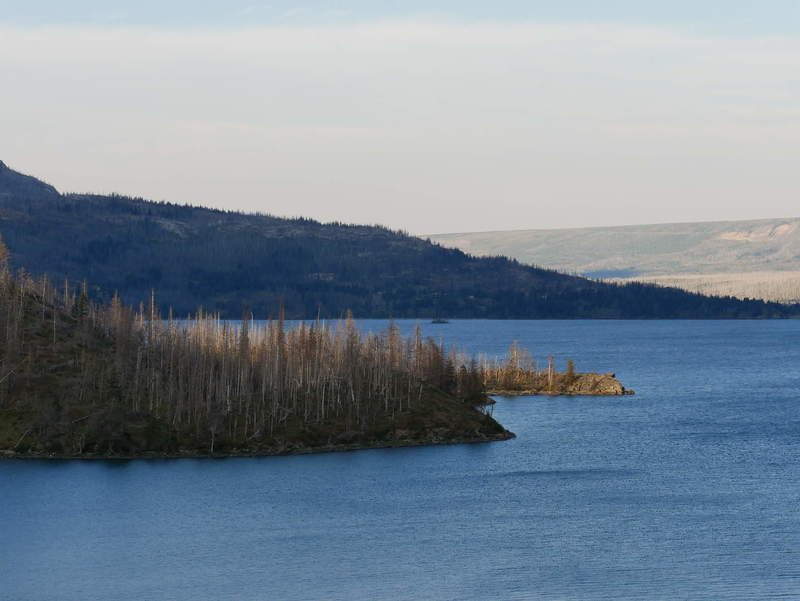
I also took some panoramas, but didn’t process them yet. Instead, here are excerpts from the phone panorama.
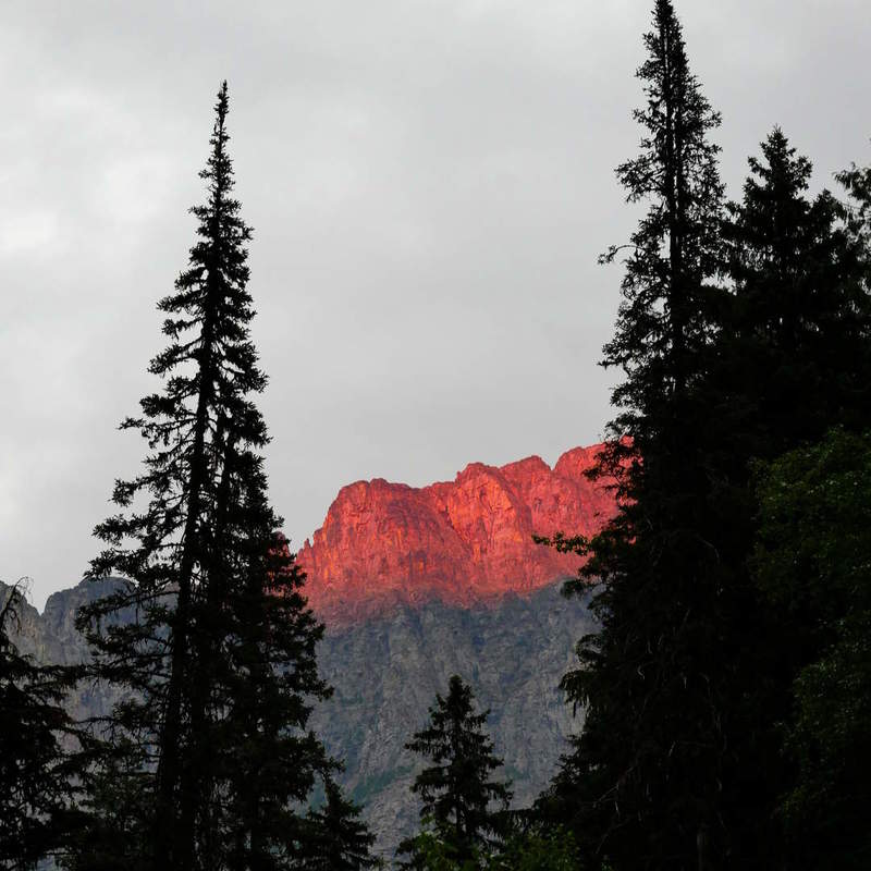
After a short break and getting a sandwich at the gift shop / store, it was time to head back. It was already past 7 PM, and slowly getting dark.
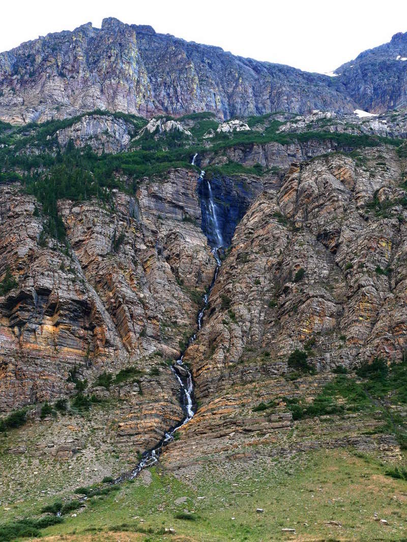
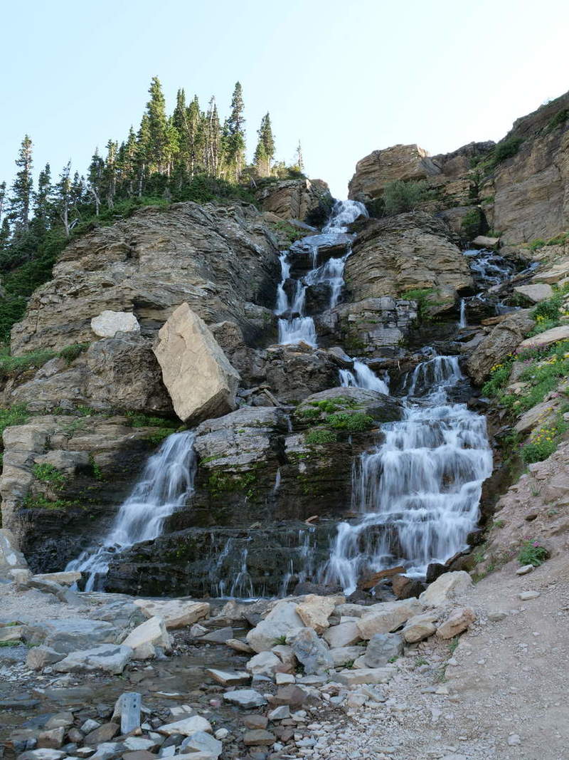
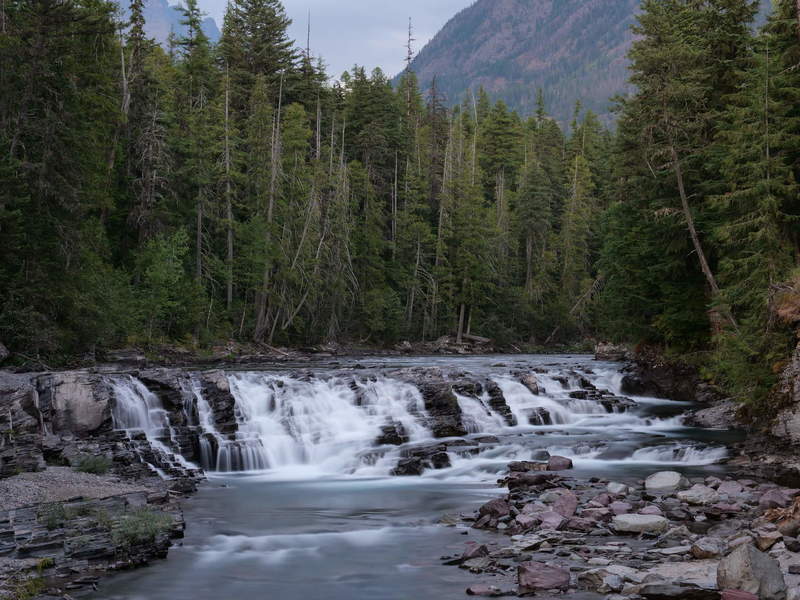
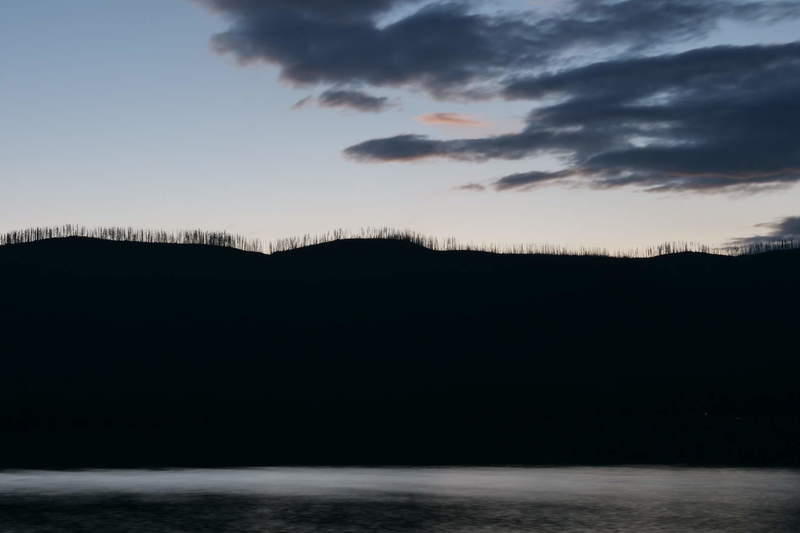
On the way back, I stopped at some of the locations I skipped on the way up, because they seemed too crowded. Luckily I had my tripod to assist with long exposure photos.
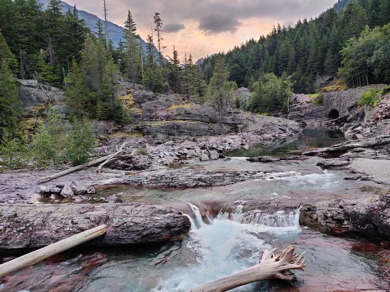
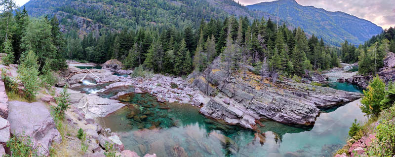
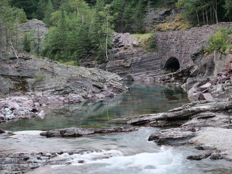
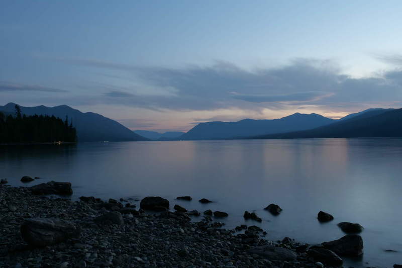
Lake McDonald, at the east end of the park, looked pretty beautiful shortly after sunset.
Catching some zzz’s
I didn’t know where I would sleep that night. There didn’t seem to be any good campgrounds around, or at least I didn’t put in the effort to find one in advance. Plus, I was too exhausted to put in the effort. So, I looked at a map of available hotels and booked one in Kallispell. It would be another hour of driving to get there, but hopefully worth it.