Road trip journal #12: Driving upstream
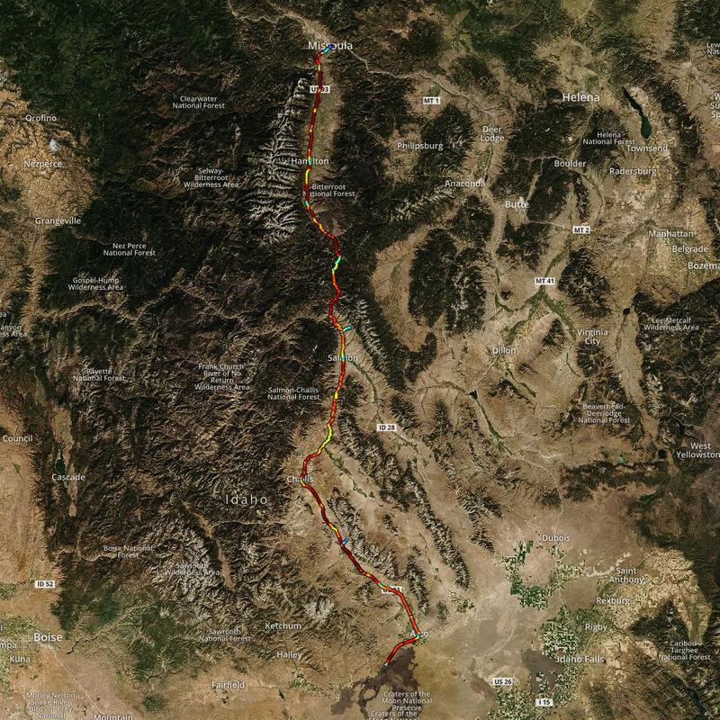
Salmon river scenic drive into Montana
Summary
- Start: 10:30 (Craters of the Moon, ID)
- Finish: 20:40 (Missoula, MT)
- Distance: 312 mi (499 km)
- Mood: cruising
- Hiking: ~3.6 mi (5.7 km)
The night was rough. I couldn’t fall asleep, and ended up going into the car to organize camera and drone footage of the day. While I was in the car, the wind started blowing extremely hard, with small rock particles. It blew so hard that it blew over my tent, since I couldn’t fix the anchors into the rocky ground. I was lucky to have left a heavy backpack in the tent, otherwise it would have been blown away. When I finally went back to the tent around 3 AM, it felt like the tent was a sail on open seas.
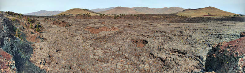
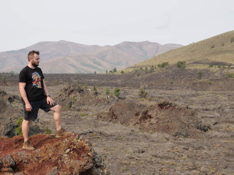
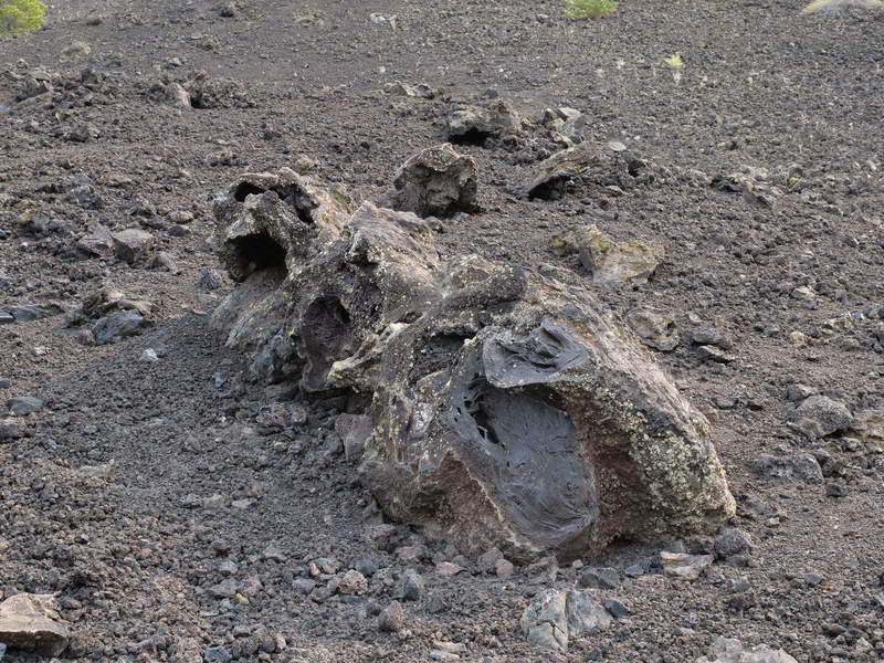
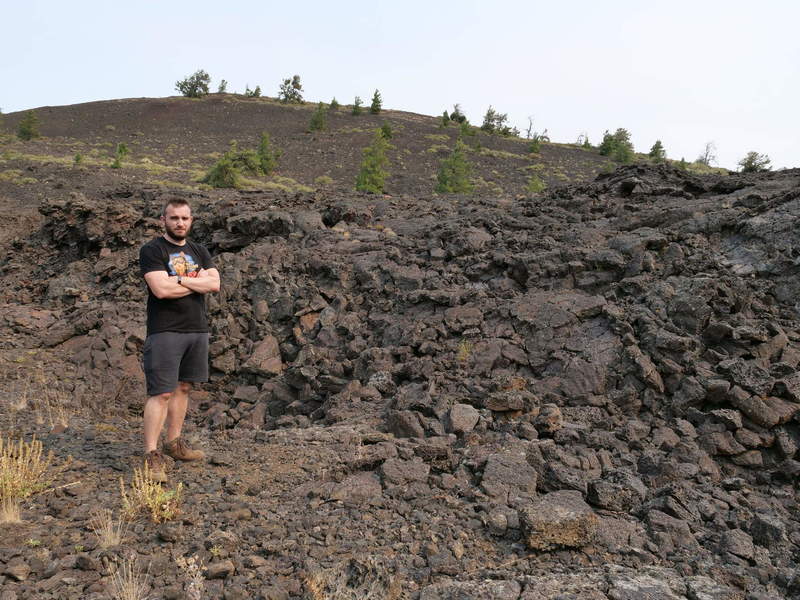
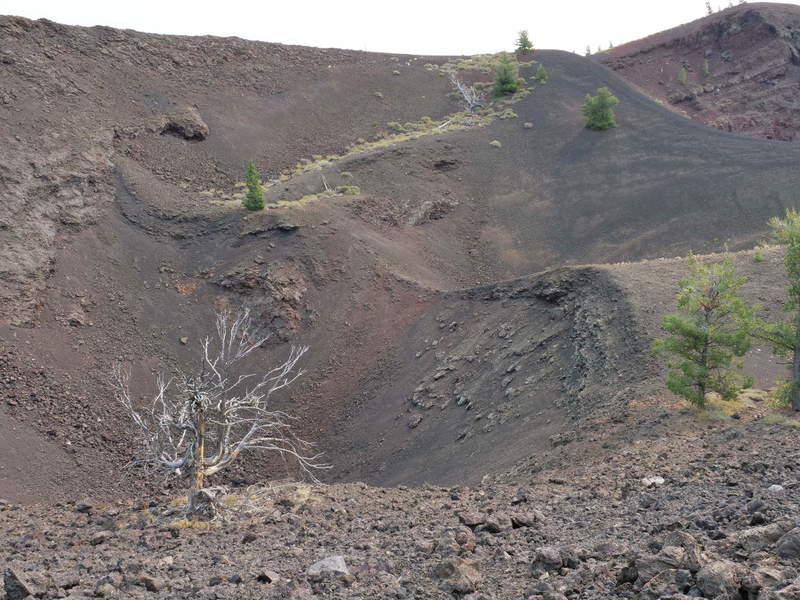
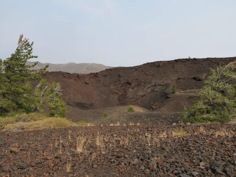
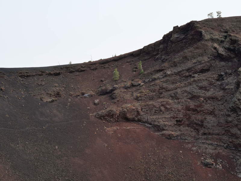
Craters of the Moon
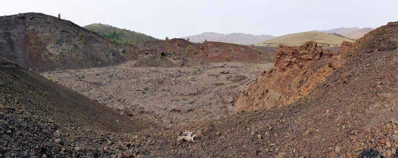
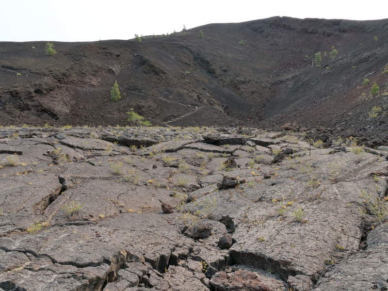
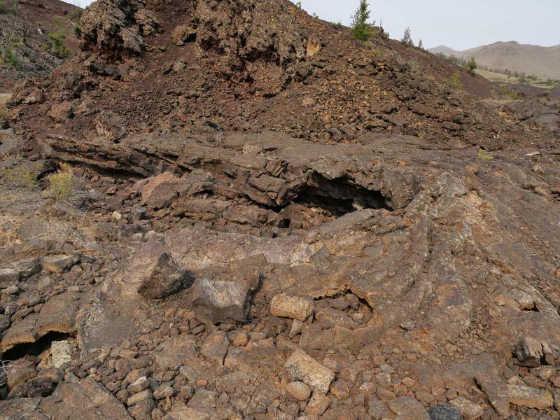
Finally, when I started the day, I decided to take a 1.8 mile hike around the North Crater and Big Craters area. It was a very solitary and awe-inspiring experience to see the interplay of fiery Earth and resilient plant life holding on to small patches of land.
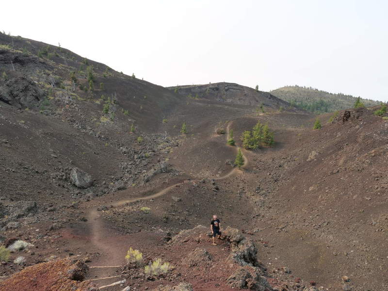
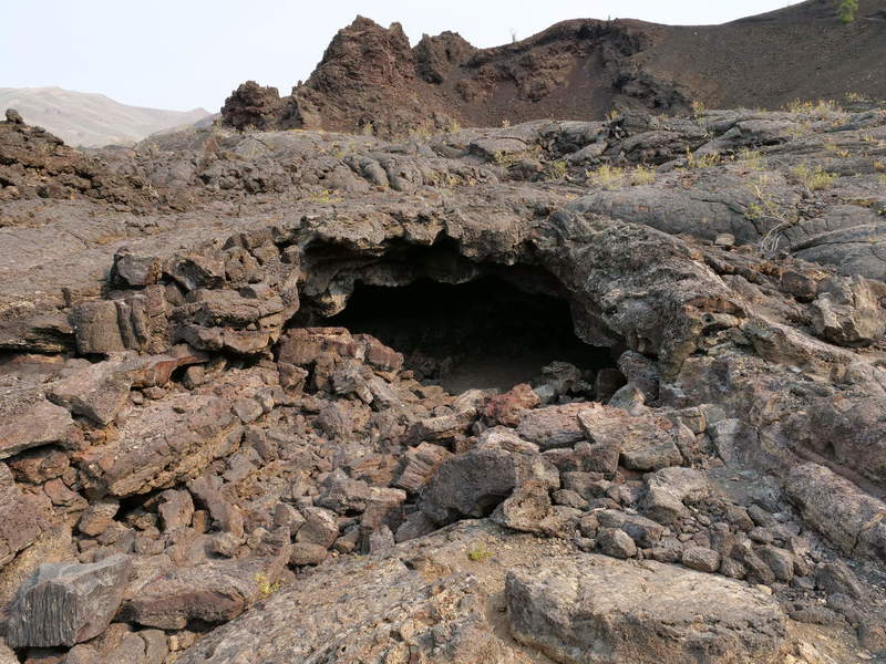
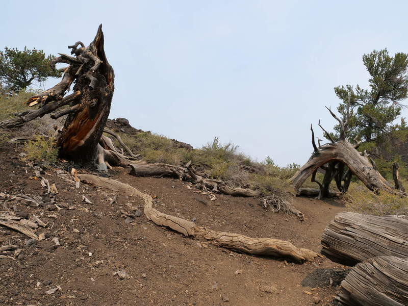
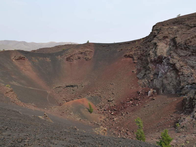
The hike took longer than expected, as in order to get back, I would have either had to go back the same path, or take the loop road, which is meant only for cars. Having not slept too well, I opted for the road. It still took about 45 minutes to get back to the car. I also skipped Inferno Cone, which I had climbed the night prior, because I wasn’t feeling too fresh.
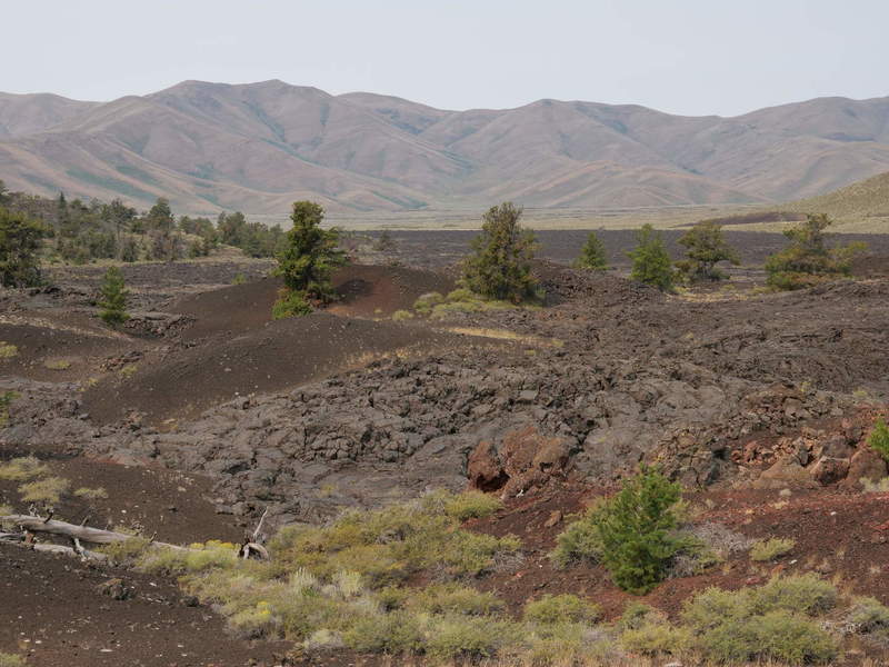
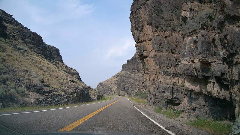
Salmon River Scenic Byway
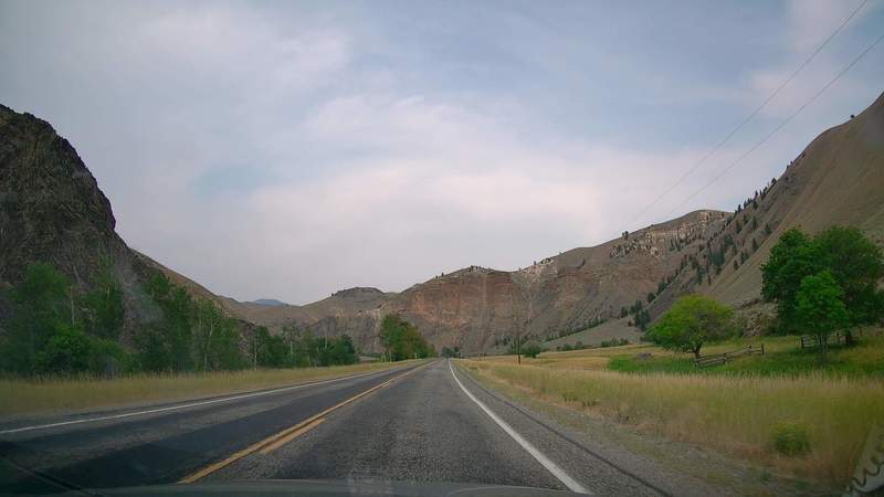
Finally I was on my way to Montana. The road follows the Salmon River, and is dubbed the Salmon River Scenic Byway. It leads through wide canyons, but the drive is still somewhat monotonous.
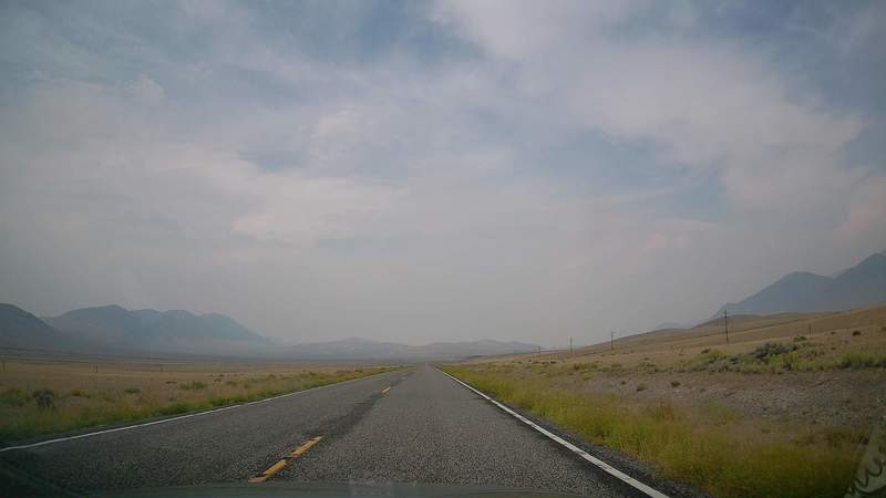
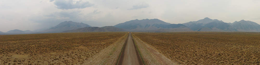
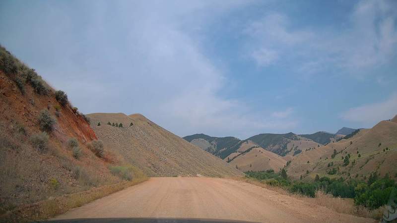
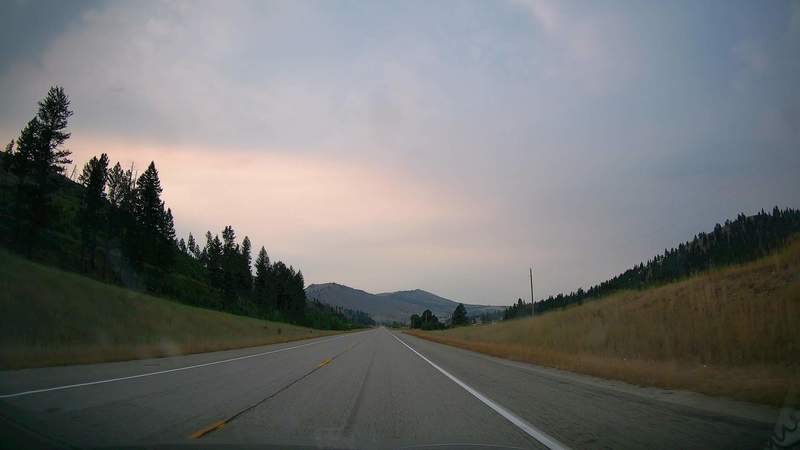
To take a break from the monotony, I took a detour to a US Forest Service managed fault line area and took some drone footage. On the way there, I took photos of the road towards the mountains.
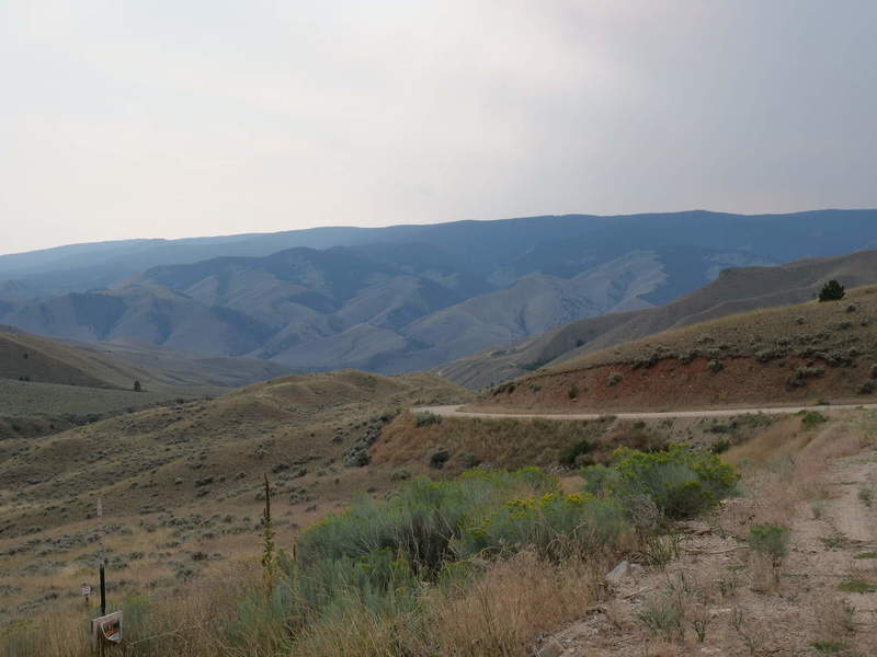
After more monotony, and looking for a break, I took another detour into a mountainous area. I thought it would lead to a forest with a picnic table. It only led to some people’s houses, so I had to go back. Views of the rolling hills were pretty nice, though.
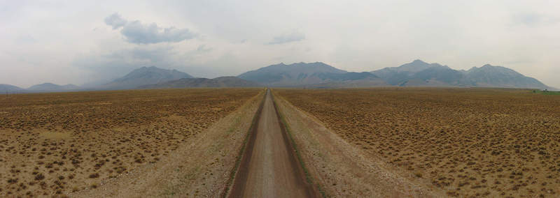
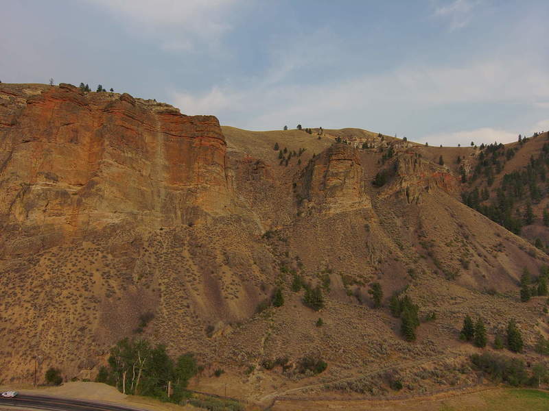
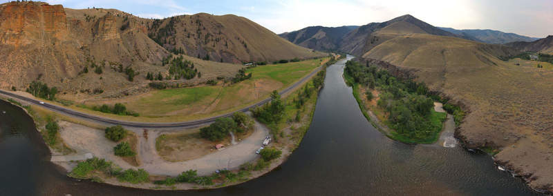
On the way, I stopped at a riverbed for an opportunity to get some drone footage, including a panorama (partly shown). I was careful not to drive over the road or over private land.
Drive into Montana
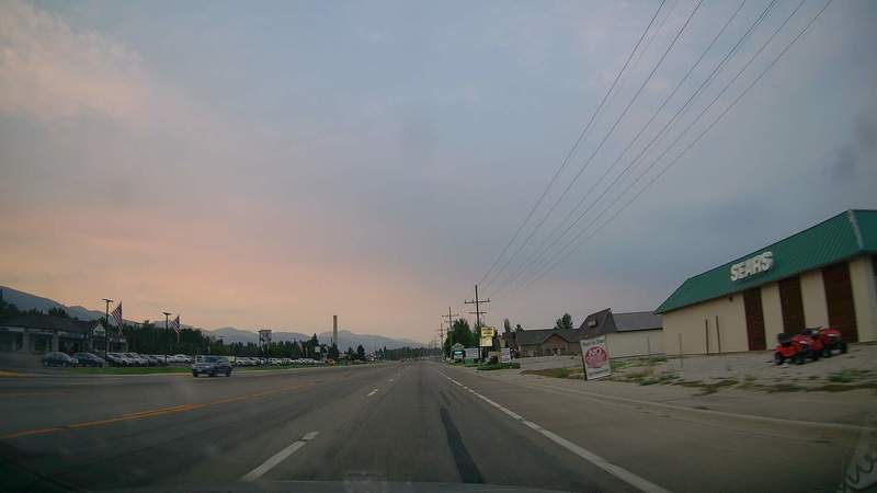
I also stopped in the town called Salmon River and got some food and other supplies. From then on, it was just following the road into Montana.
After more 300 miles of following mostly straight roads, I was pretty exhausted. I reached Missoula, got some coffee, and booked a hotel to recover.