Road trip journal #11: Boise to Moon
From Boise through scenic Sawtooth Drive, roads US 21, US 75, US 26 to Craters of the Moon.
Summary
- Start: 12:00 (Boise, ID)
- Finish: 21:10 (+1) (Craters of the Moon, ID)
- Distance: 270 mi (432 km)
- Mood: winding
TODO: - look at more dashcam photos
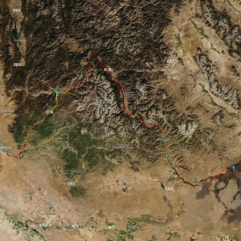
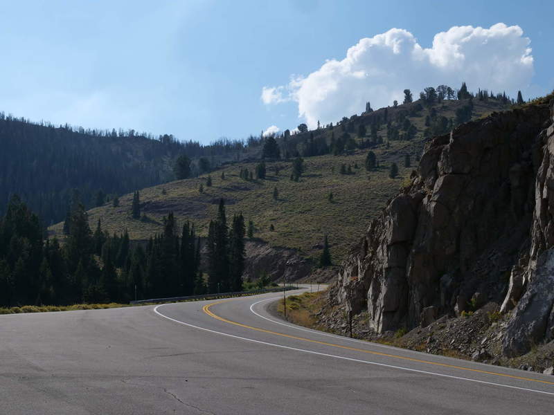
The day started late in Boise (pronounced “boy-zee”), first getting some coffee and food for the road. The route was set to go through scenic Sawtooth Forest roads, and end at Craters of the Moon National Monument. The scenic route first goes north-east through mountain passes, and then south-east through the forest. Finally, I took a turn north to get to Craters of the Moon.
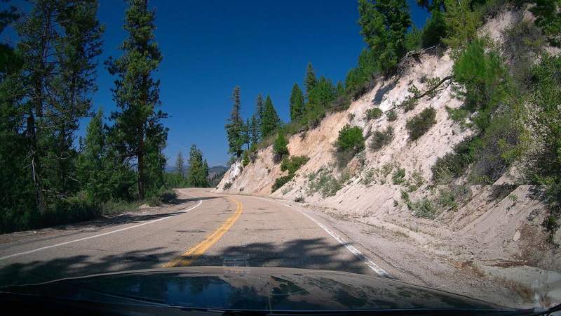
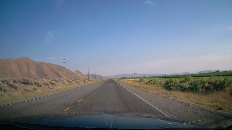
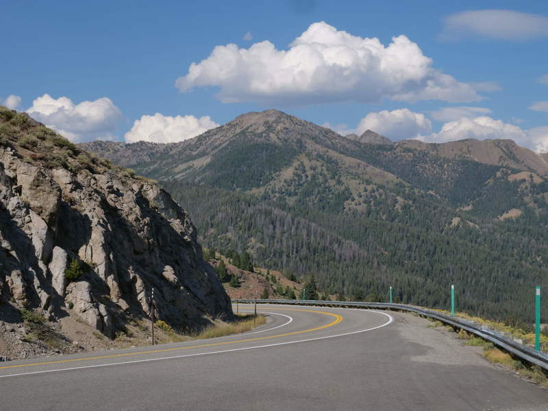
Scenic route US 21
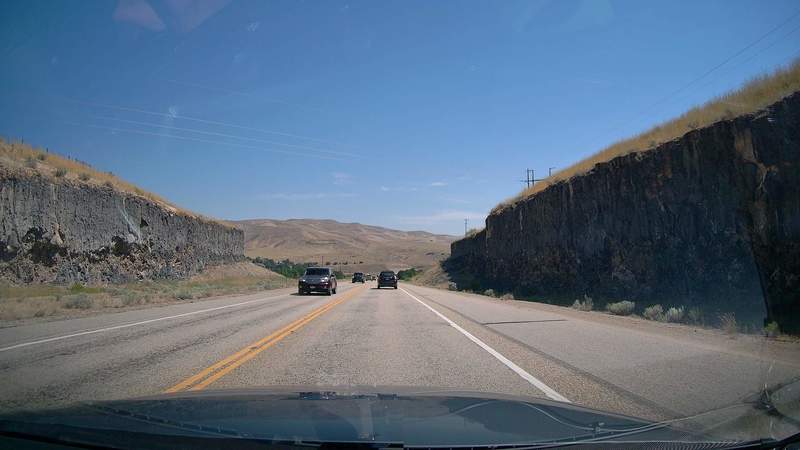
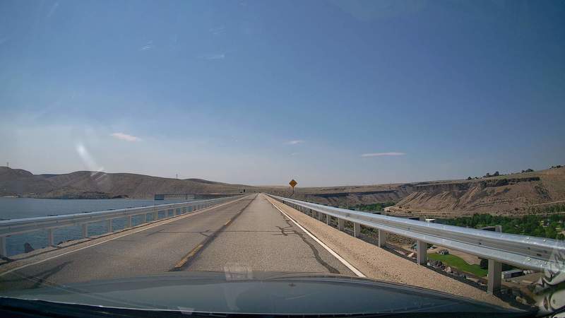
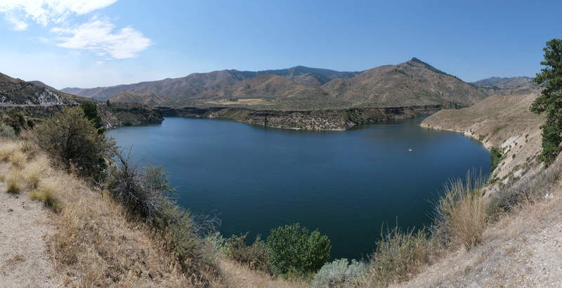
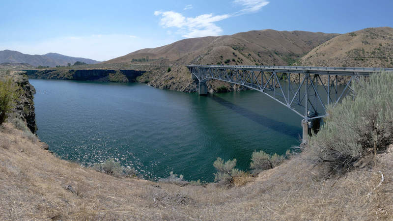
Driving out of Boise, the road starts in some seemingly volcanic canyons. I stopped at a reservoir, and opted not to fly the drone because of dam proximity. It was still a cool view, as well as some other ones on the way to US 26.
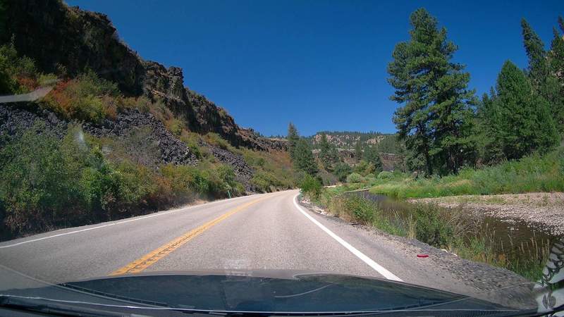
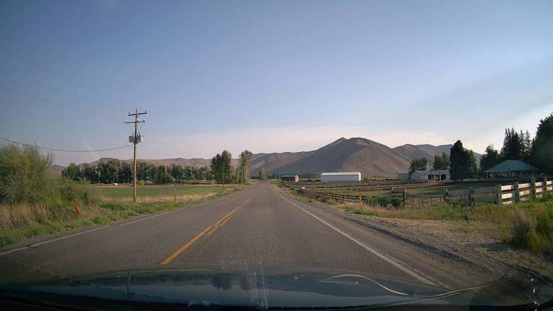
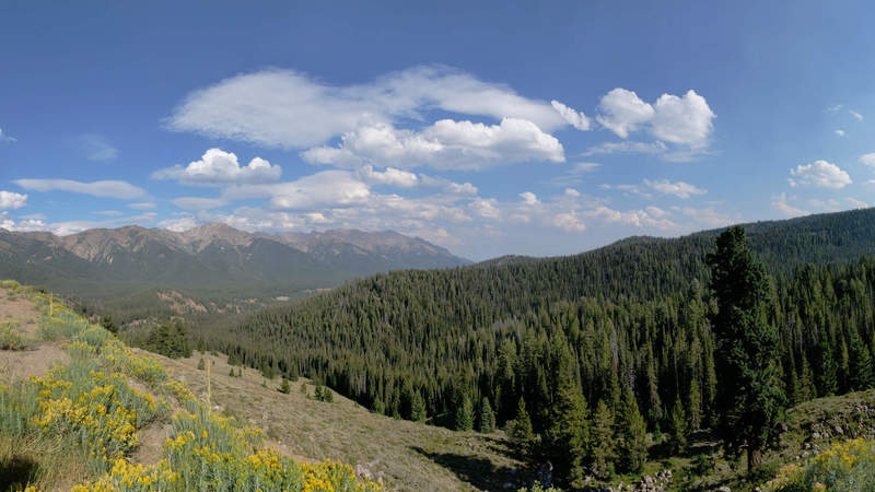
Sawtooth Forest, US 75
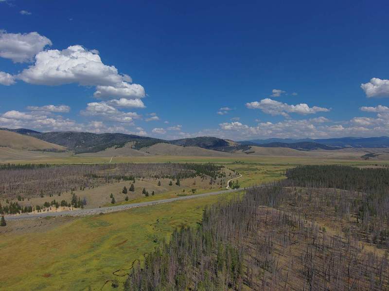
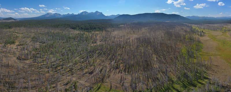
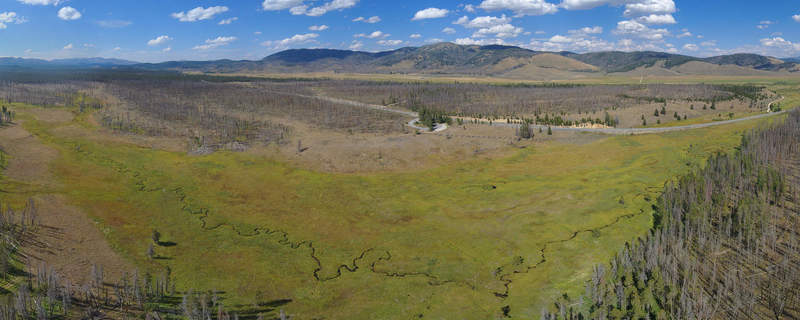
After going through a mountain pass, the scenic route curves south through Stanley and Sawtooth National Forest. I briefly flew the drone in a river canyon, but only took video.

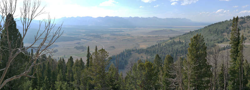
Once I was out in the wide-open national forest, I found a spot that was clear and right off the main road to make some panorama photos. The following snaps are just snippets of the big panorama.
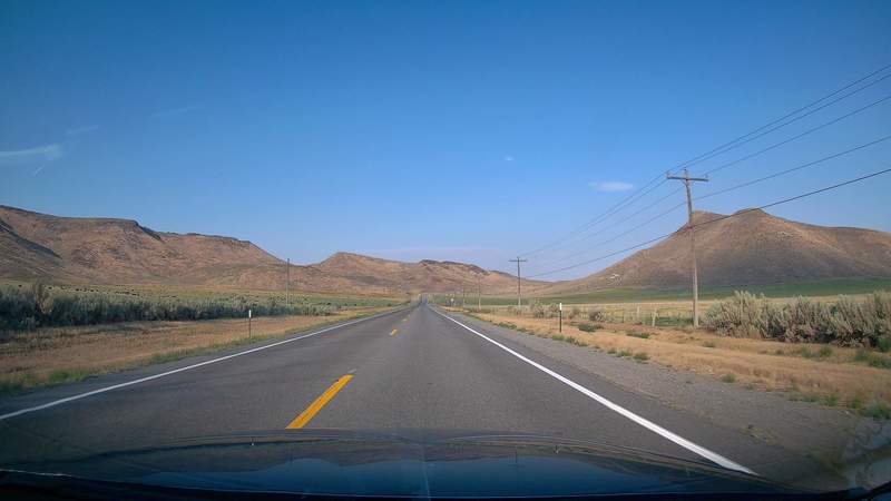
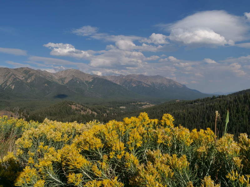
Scenic Idaho
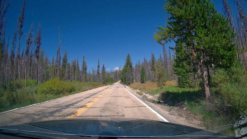
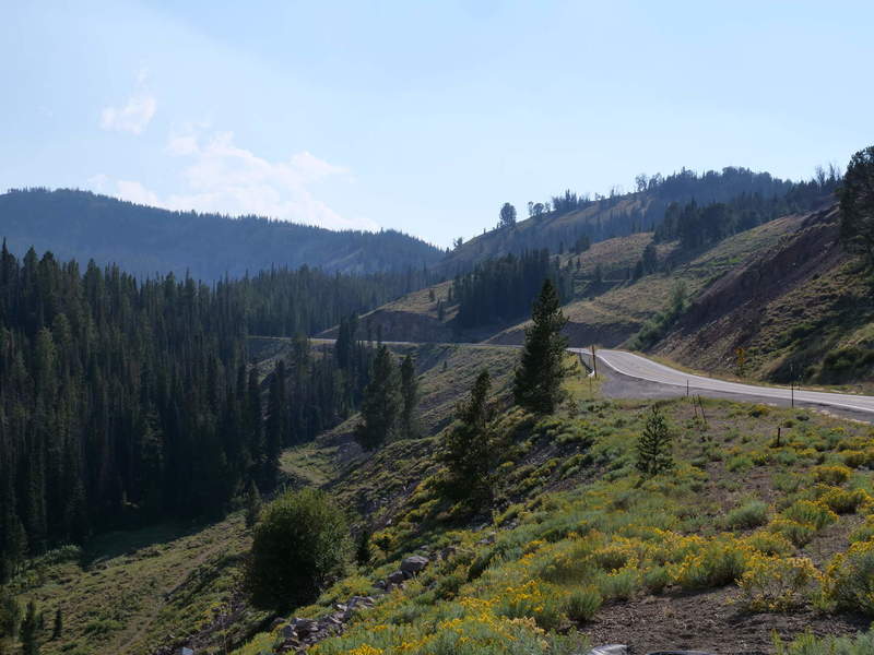
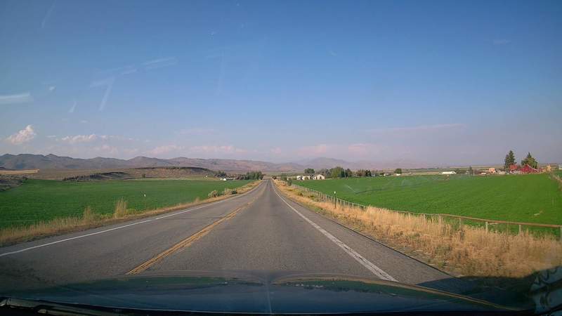
Driving further south, there is another mountain pass, followed by more flat pastures and fields of green. The mountain pass provided some good panoramic views of some valleys and the surrounding mountains.
Craters of the Moon
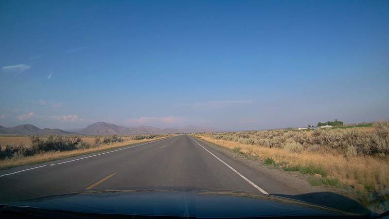
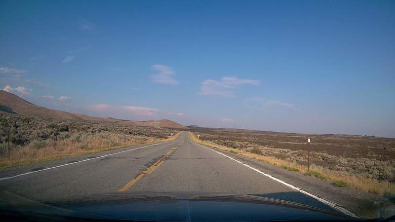
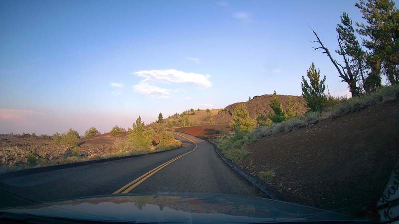
The road turns to US 20 east, and then finally north to US 26 towards Craters of the Moon National Monument, another Scenic Highway. This time it was far less populated than the main highways. The road starts with some green pastures.
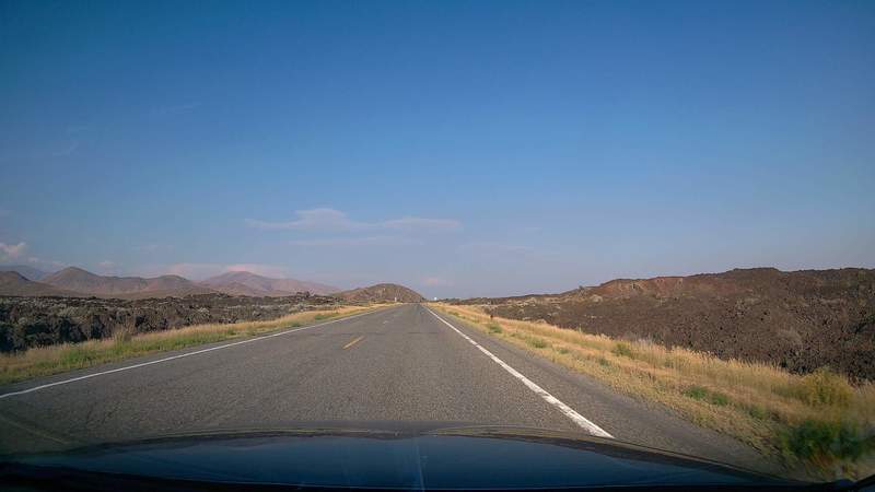
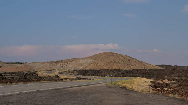
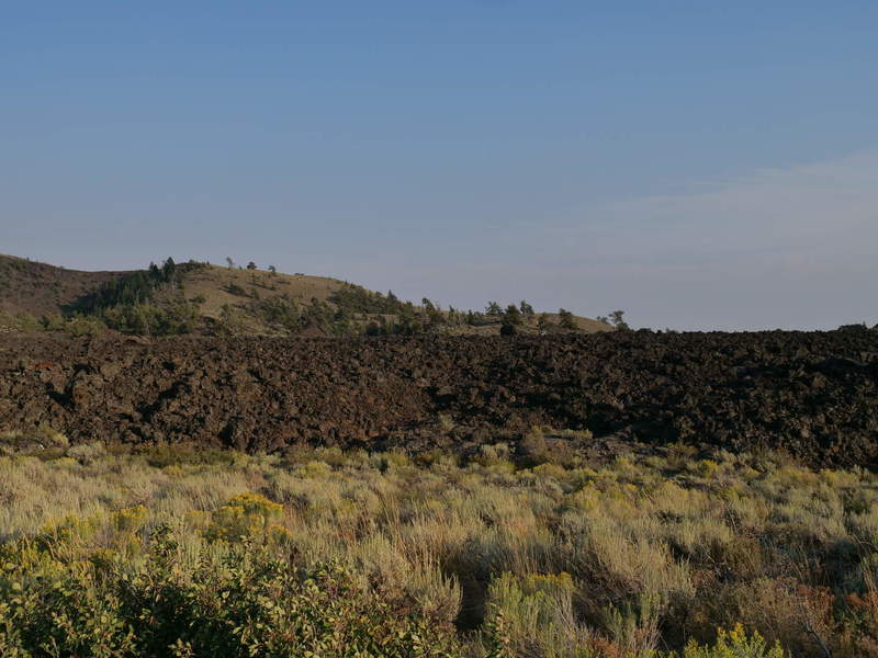
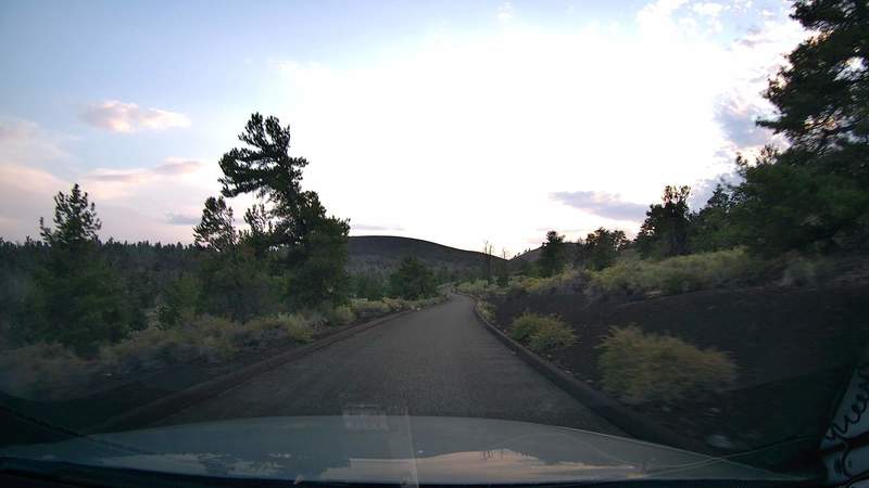
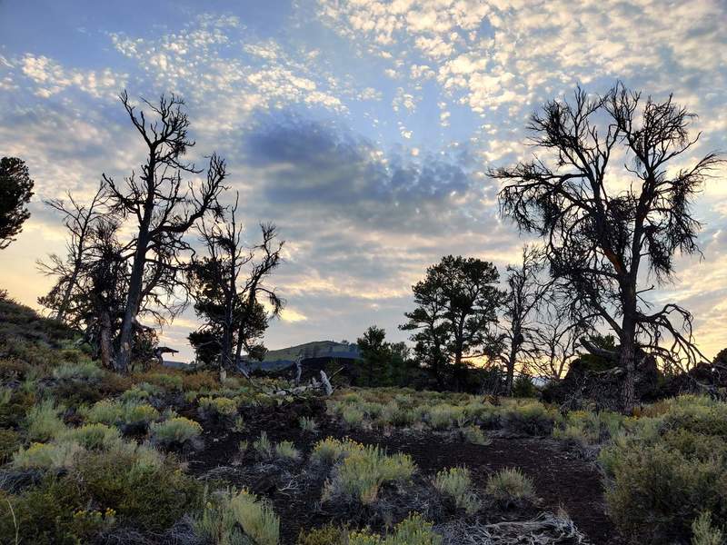
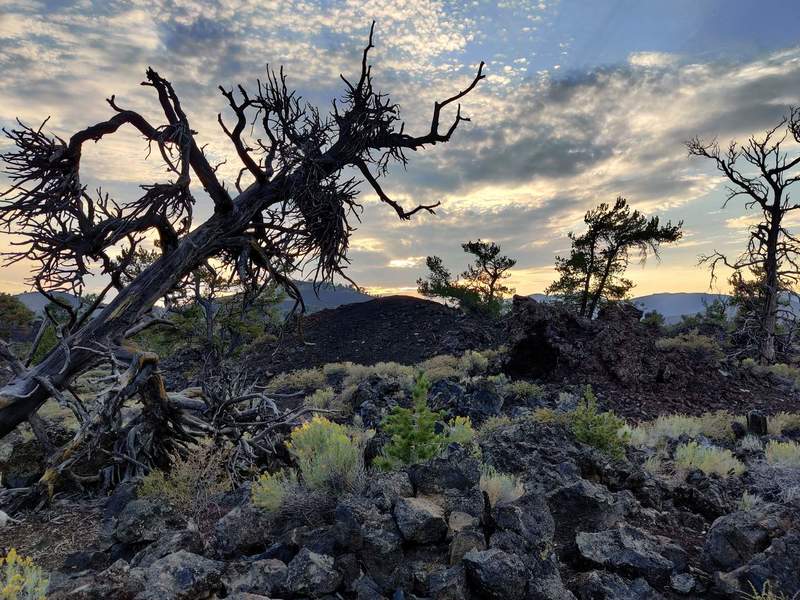
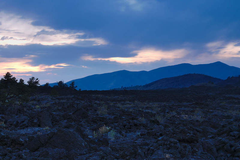
Coming closer to the Craters, the landscape changed in very inspiring ways, with volcanic hills and small shrubs at first, followed by volcanic landscapes.
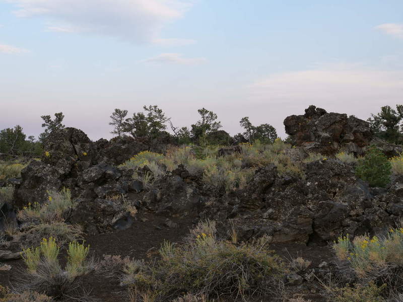
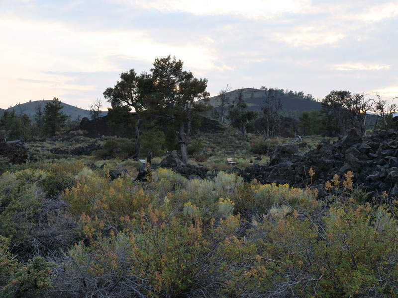
The landscape is not completely desolate, as some small lakes provide water for surrounding foilage.
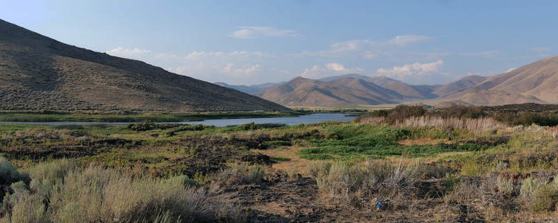
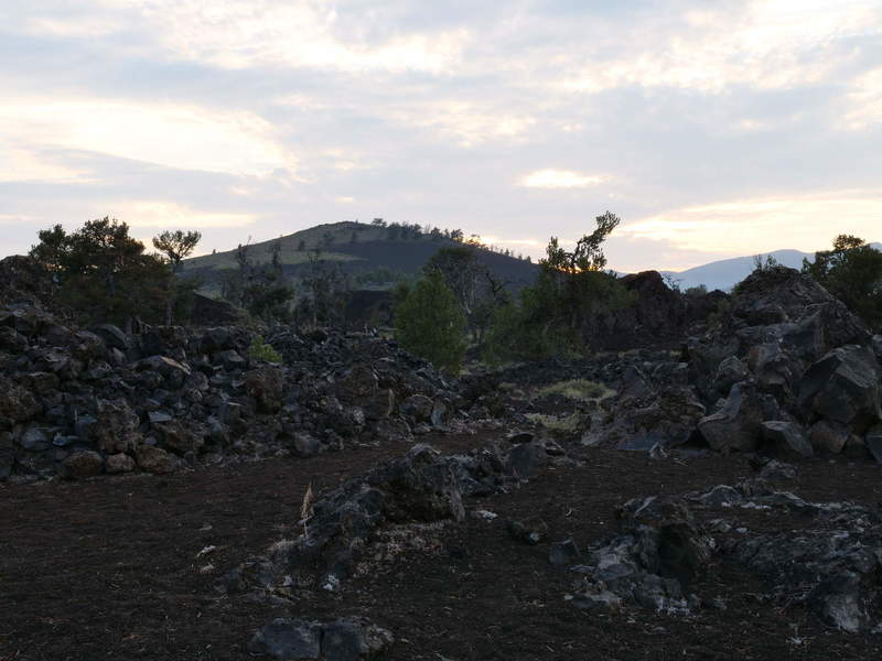
Still, the volcanic landscape looks like from another planet, perhaps due to the lack of vegetation. Ironic, since volcanoes are the source of nutrients necessary for life to take hold on land.
Luckily, the campground was walk-in, with 42 available sites in total, and most of them were free. So, I reserved a spot and went for a dusk drive and visit through the park. There is a loop road that goes to all trailheads and parking lots with views. Even the views from the loop looked pretty nice.
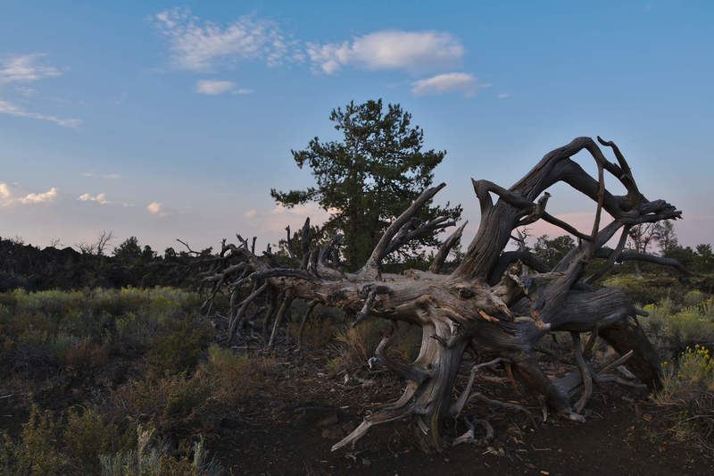
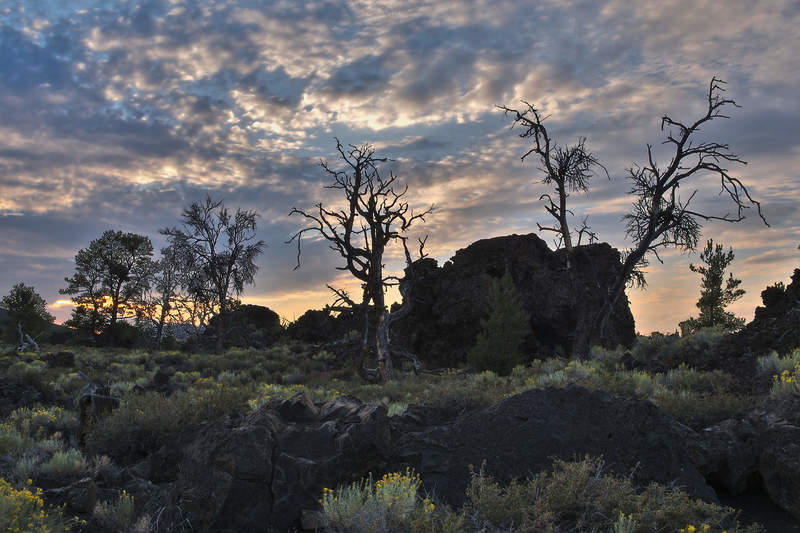
First up was Devil’s Orchard, with lots of vegetation, and lots of dead trees. It looked very eerie at dusk, during golden hour.
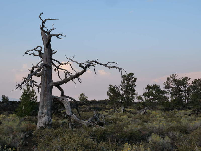
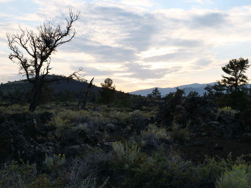
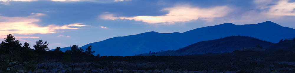
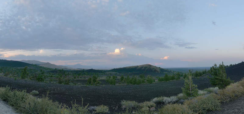
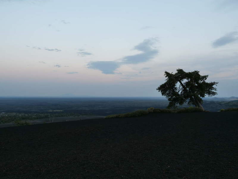
I stopped at a small hill called Inferno Cone and snapped a panorama of the distant clouds during sunset. The desolate hill (cone) had a lonely tree at the top, as well as good views of the distant sunset.
As it got too dark to see anything, I opted to go back to the campsite and set up the tent. I’ve gotten some practice, and this time it took me less than 15 minutes to set everything up. Looking forward to sleeping in the lava flows campground.