Road trip journal #9: Slow Ride
Taking it easy along the Columbia river and driving up to Mt. Hood after a rainshower.
Summary
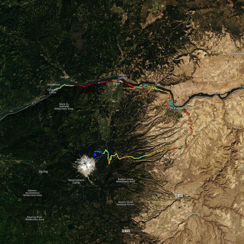
- Start: 13:50 (Cascade Locks, OR)
- Finish: 20:10 (Cloud Cap Saddle Campground, Mt. Hood National Forest, OR)
- Distance: 108 mi (173 km)
- Mood: lazy
After sleeping in and getting a good rest, I did some data management for the day prior. This involves copying all of the footage from the day prior onto a portable hard drive: camera, drone, dashcams. So far it’s about ~300 GB of dashcam footage, 10-20 GB of camera photos, and about 10 GB of drone footage per day. It all takes time to copy, so I’ve parallelized the procedure to copy several things at once, while I prepare for sleep. After everything is copied, I need to sort out the best photos and screenshots of the day, and that takes a while.
After checking out of the hotel, I cleaned the car and used the hotel WiFi to make some video calls, given that it was the weekend. That took a pretty long time, but I wasn’t in a hurry. I took off shortly before 2 PM.
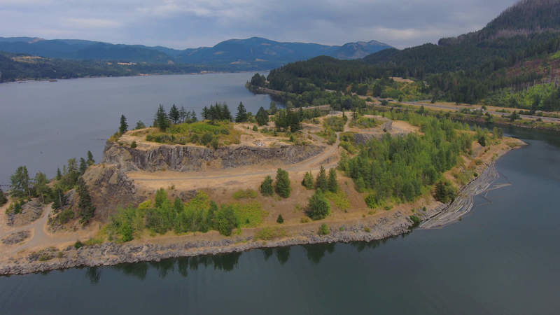
Columbia river
First, I wanted to get some drone footage of the Columbia river gorge. I found a nice spot off the highway where I wouldn’t disturb anyone. There was some wedding photography going on, I hope I wasn’t in the shots.
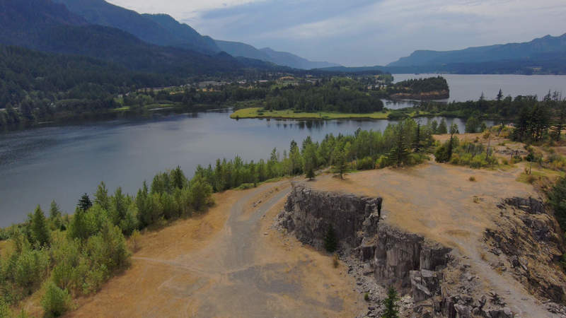
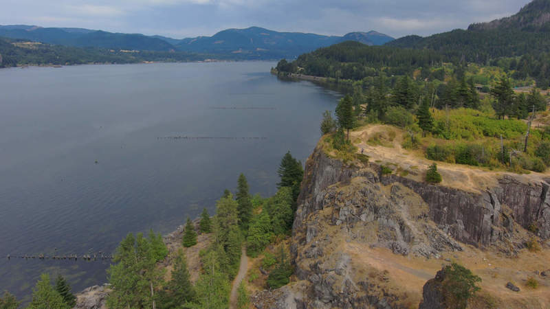
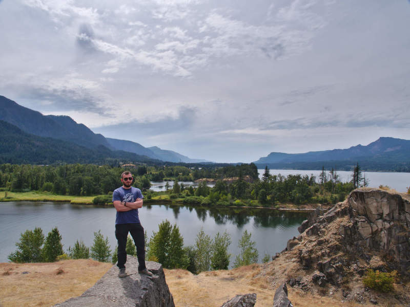
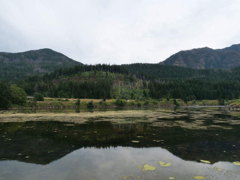
I also took some panoramas, but have been to lazy to process them. Instead, here’s a tripod selfie, and a nice reflecting cove.
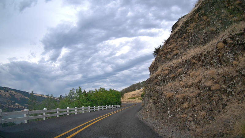
Route 30
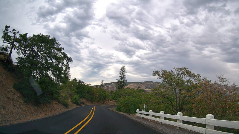
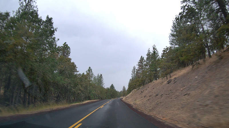
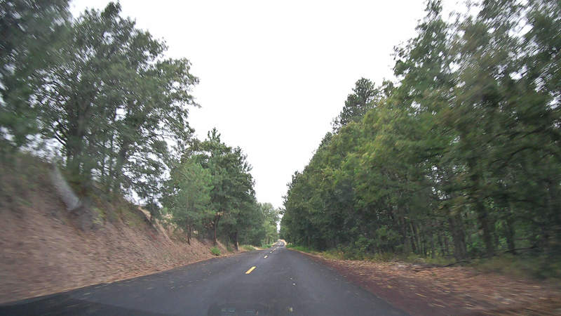
After that, my destination was Hood River, OR, to get something to eat. I took the historic Route 30, next to the highway.
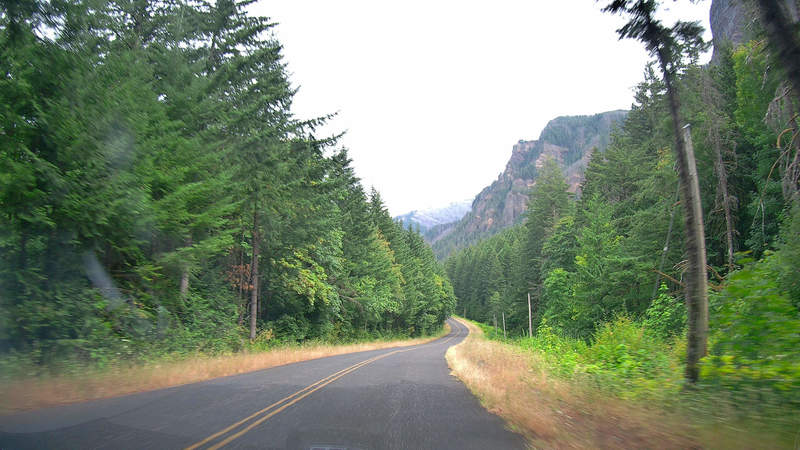
The road led to the famous Rowena Crest viewpoint, where I made a lunch break and relaxed for a while.
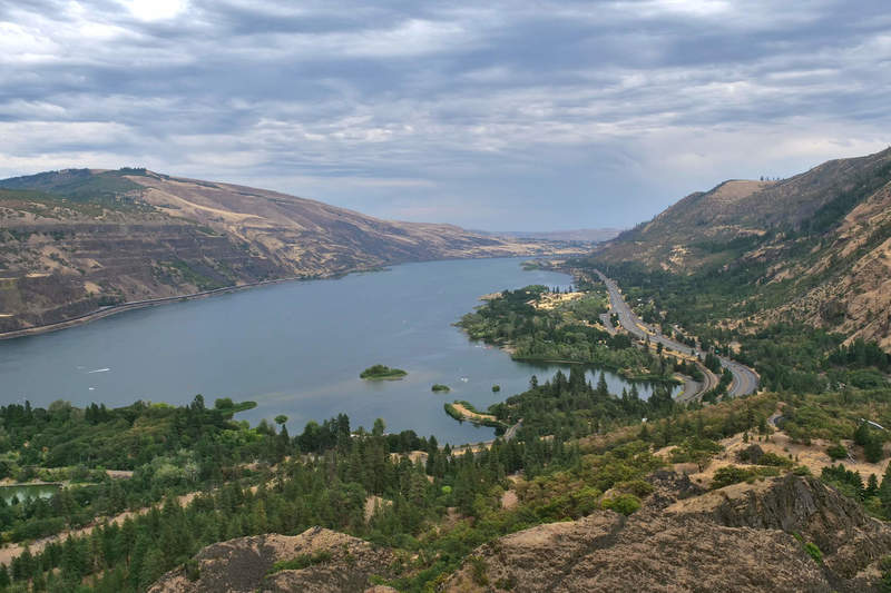
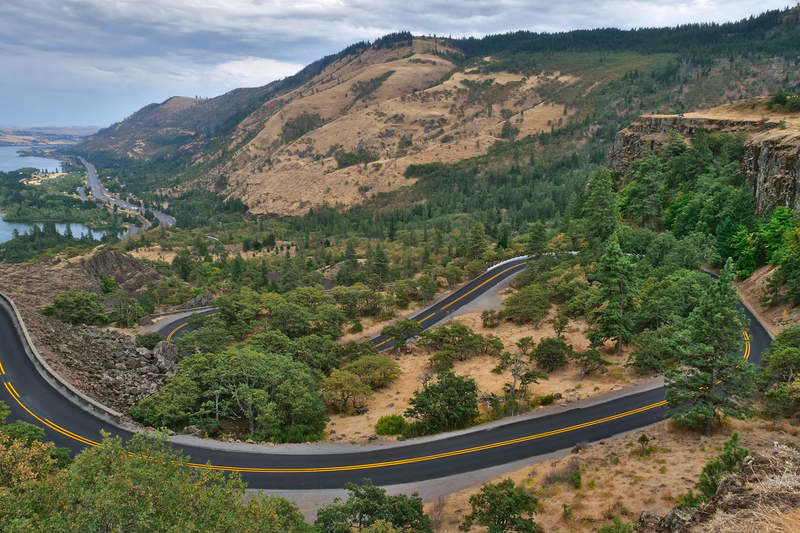
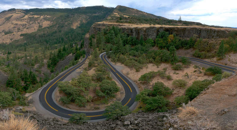
Rowena Crest is part of Route 30, and the drive down is pretty curvy and scenic.
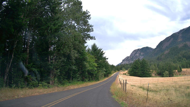
Dufur Valley
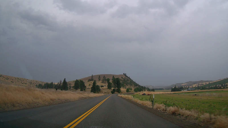
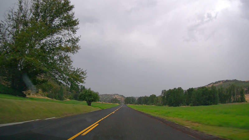
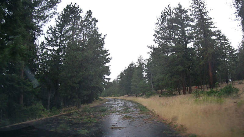
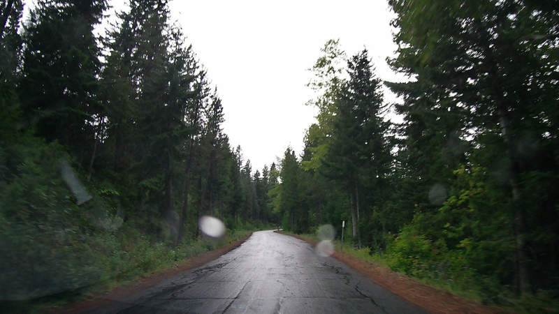
Finally, I set out the goal for the day: Cloud Cap Inn on Mt. Hood. I’d take a scenic drive through Dufur Valley. It started raining soon after I started.
The Mosier Creek Wildfire was raging nearby, the wind was very strong, and there were small shrubs flying around on the highway. One of them got stuck to my car grill and I had to stop to get rid of it. But, as I was getting out of the car, the wind blew it away. It’s better that way, as I might have gotten blown away instead.

The valley looked pretty scenic after the rain had passed.
At some points, the wind and rain blew a lot of branches onto the road.
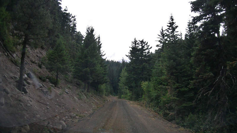
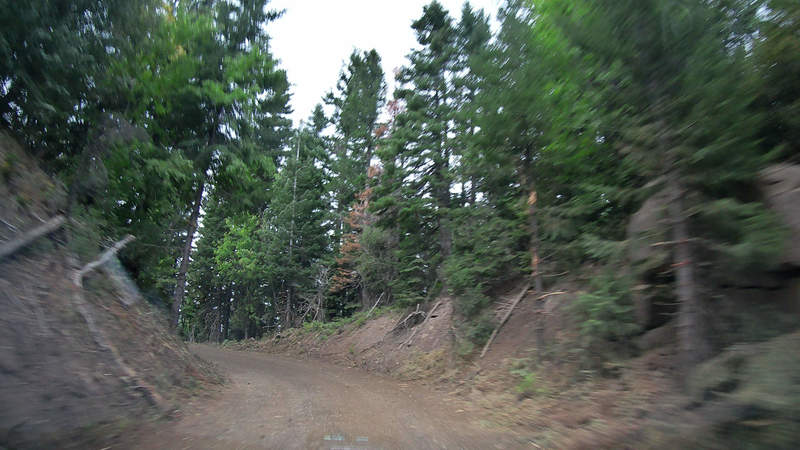
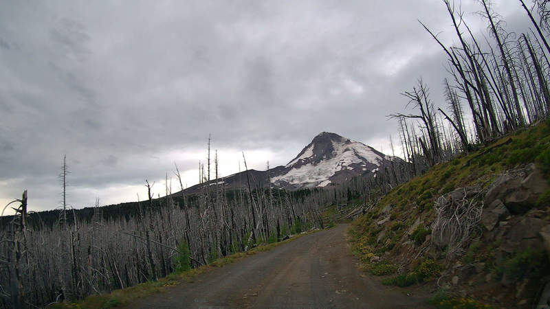
Cloud Cap Road
The Dufur Valley road connects with scenic Route 35, which drives around Mt. Hood. I had decided to drive up to Cloud Cap Inn, which is up Cloud Cap Road, which is an unpaved forest road. It seems to be the closest point one can get to the top by car.
Along the way, I took some drone footage of following the car with a beacon. Previously, I’ve double checked that this is allowed – the road is managed by the US Forest Service, and doesn’t prohibit drones. The road is surrounded by a restricted wilderness area, but the road wasn’t restricted. There were no other cars on the road, so I decided it was safe. Got some pretty nice follow scenes.
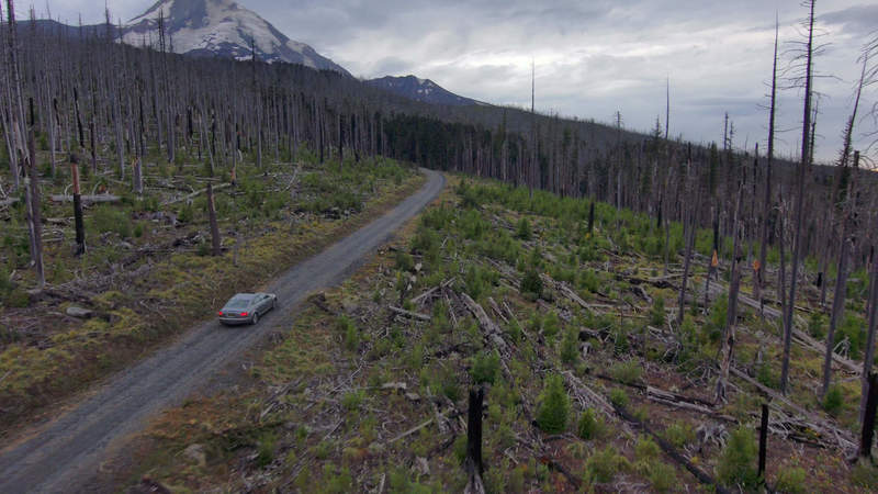
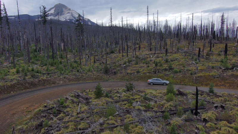
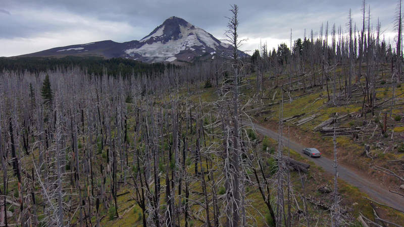
The drive was pretty gnarly and slow, with big holes and relatively big rocks. I guess this is why people get trucks.
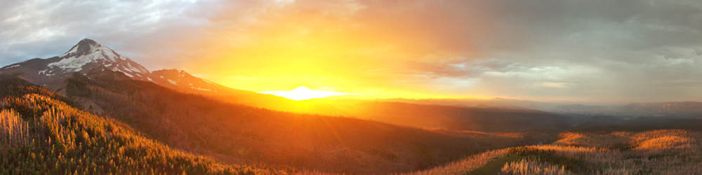
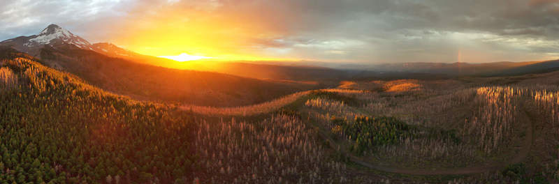
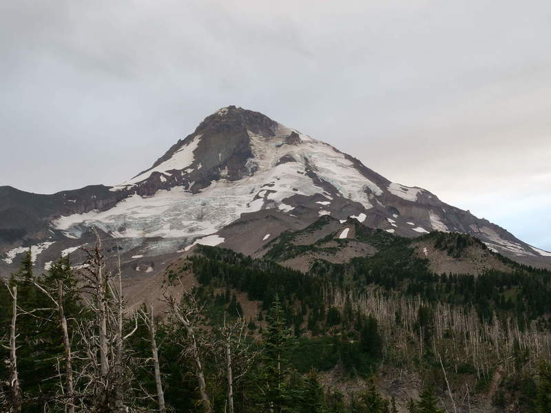
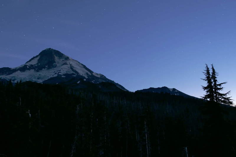
Mt. Hood
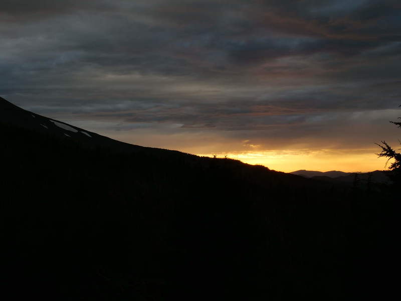
At the top, I was happy to find that the campground is walk-in, and there were spots available. But before setting up for the night, I did a couple of flights to get the last glimpses of golden hour sunlight.
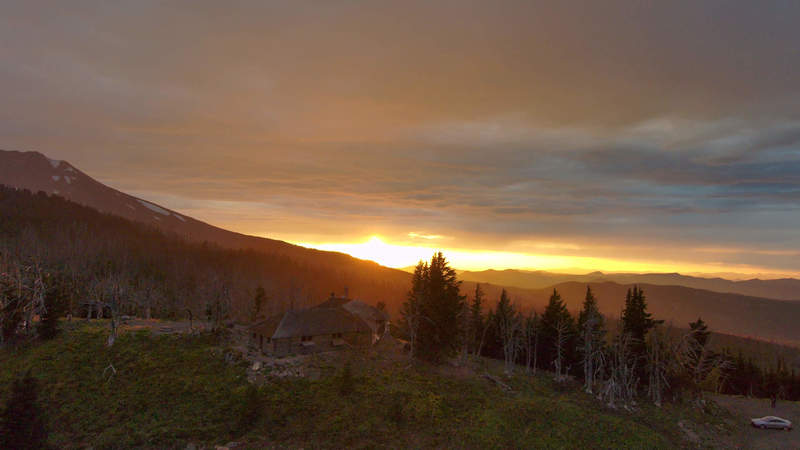
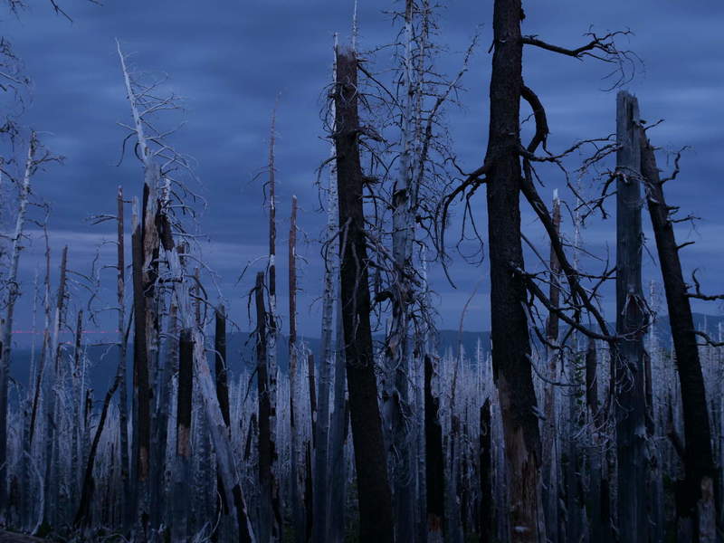
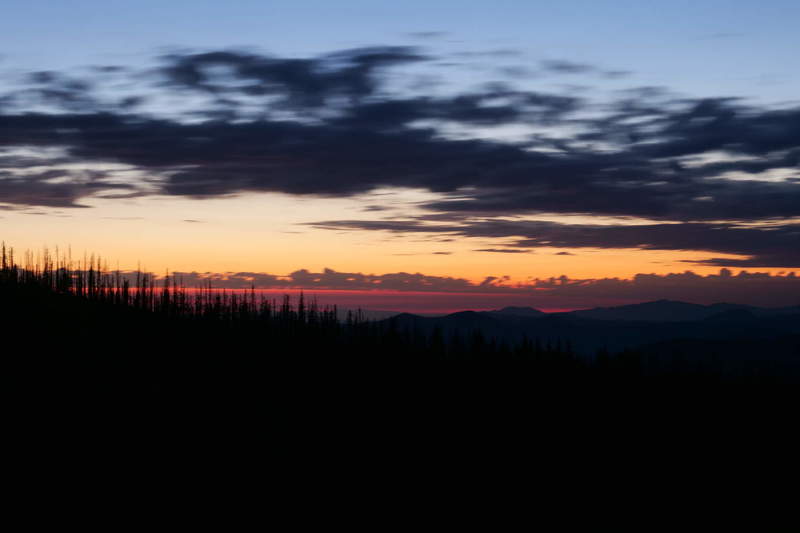
After the sun had set, I’d set up camp for the night, and walked around taking some dusk photos to catch the gloomy mood.
Before going to bed, I did data management for the day, which took relatively long. Camp setup was smoother than before, though. I’m getting the hang of this.
Title
Famous song by Foghat.