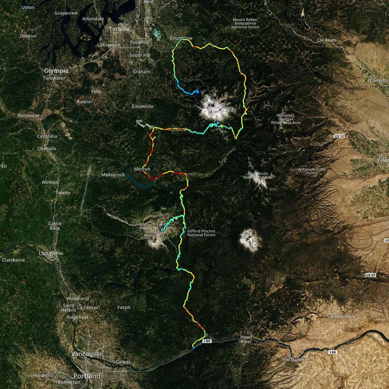
Road trip journal #8: Remount
From Mt. Rainier to Mt. Hood through Mt. Helens and winding forest roads.
Summary
- Start: 07:15 (Mt. Rainier NP, WA)
- Finish: 23:15 (Cascade Locks, OR)
- Distance: 295 mi (472 km)
- Hiking: ~6 mi (~9.6 km)
- Mood: spontaneous and curvy
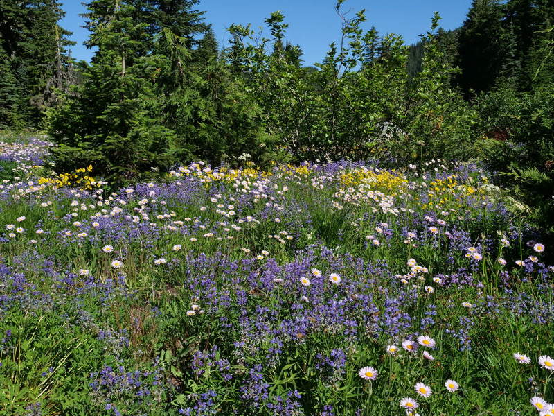
It had not been a kind night. Having slept only a few hours and waking up around 4:30 AM, I could not fall asleep again and took on the task of writing a journal update of the day prior. The plan for the day was to do a morning hike to Spray Falls, and end up at Mt. Hood through Mt. Rainier. I skipped Portland. The flowers on the campground were in full bloom.
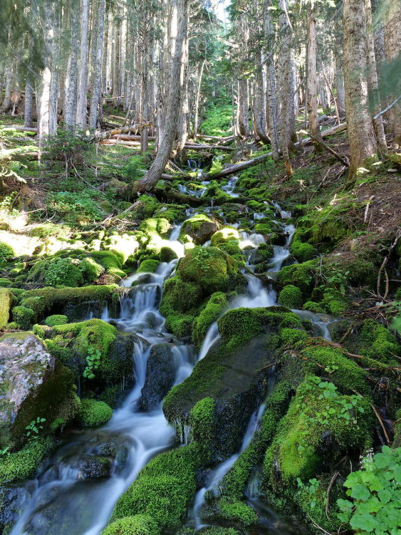
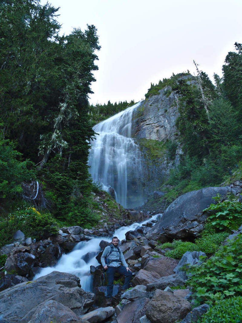
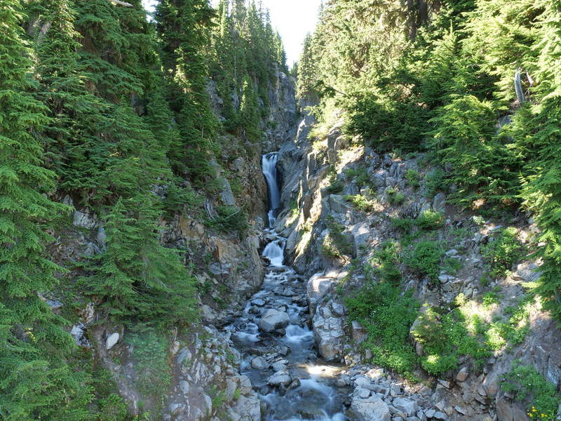
Spray Falls
By 7:15 AM I was out to Spray Falls. The hike took an hour longer than expected because I was stopping every so often to take photos. Having a tripod in hand, it was time for lots of bracketed long exposures, which turned out well, especially in the morning sun.
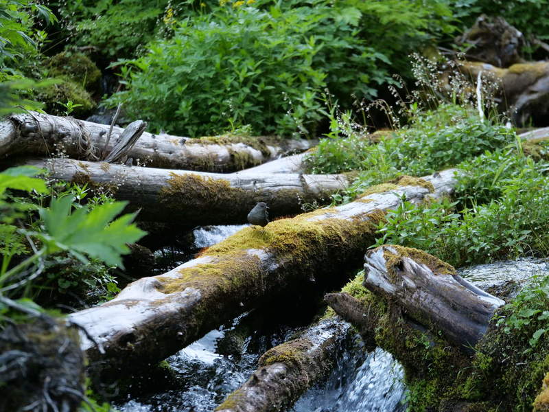
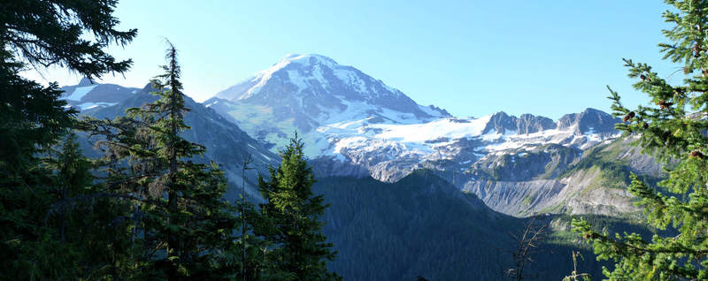
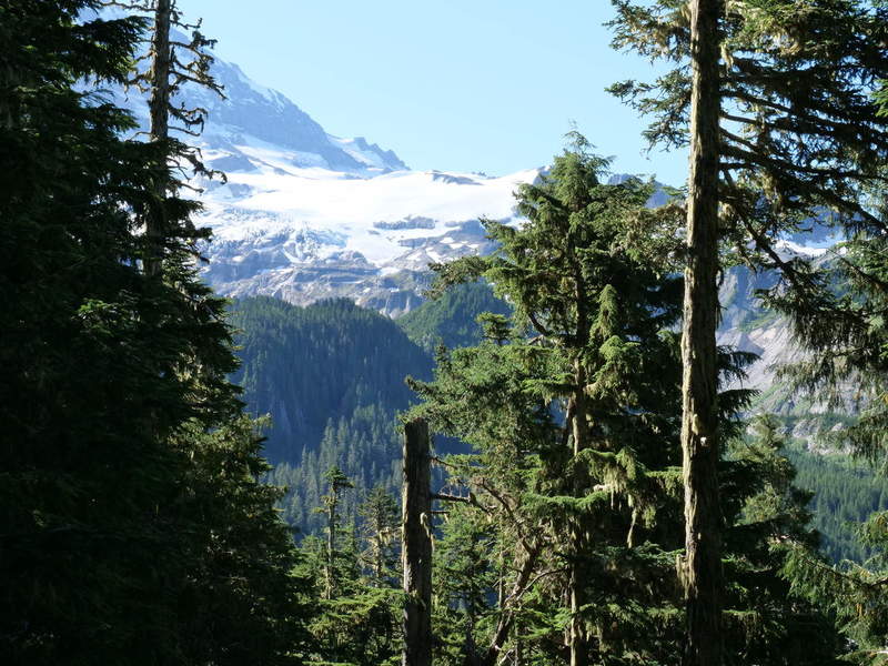
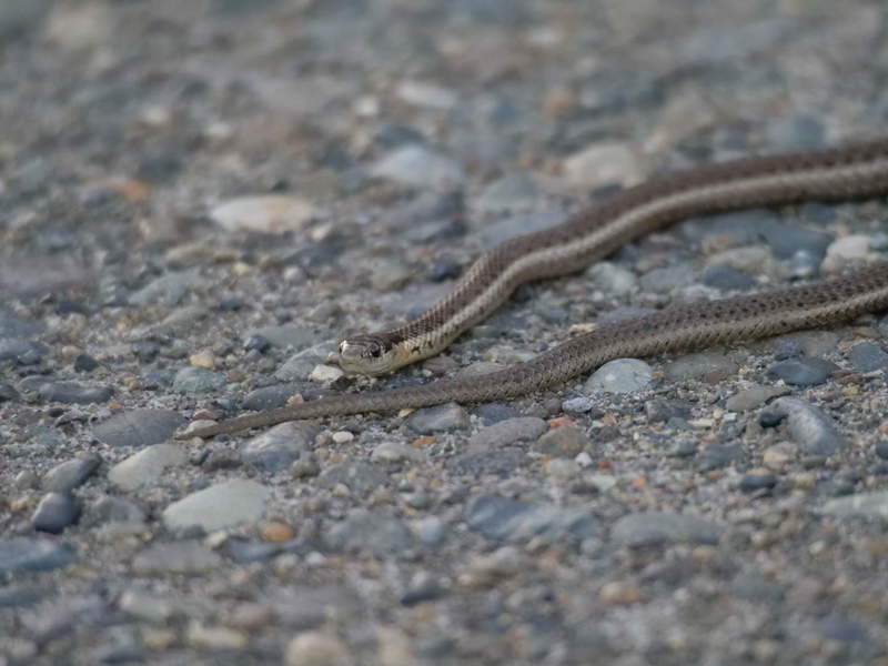
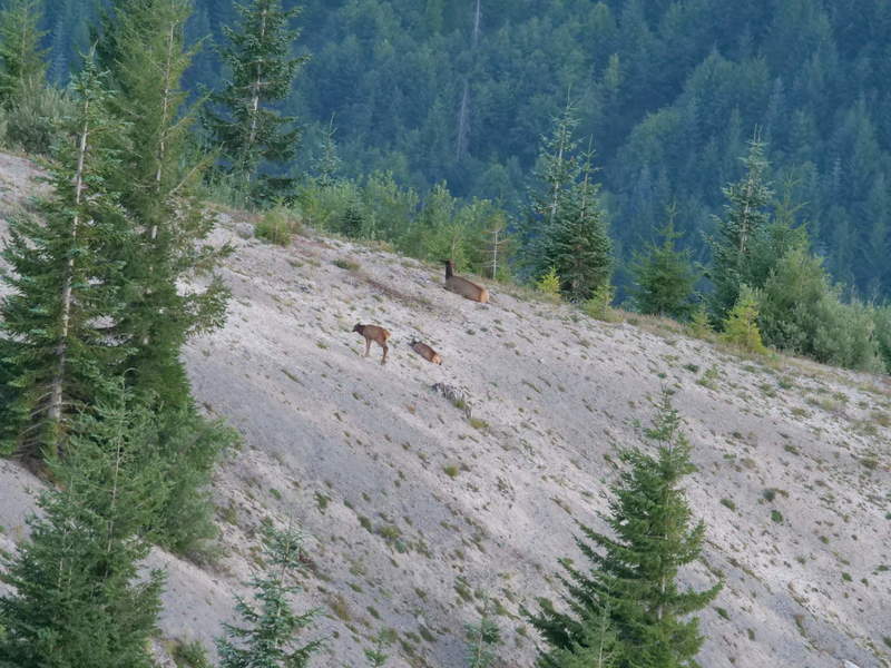
Eagle’s roost overlook provides a good viewpoint of the mountain peak. And some curious cute wildlife.
It was very peaceful, with the occasional hiker passing by. By the time I was on my way back, hikers came in droves, presumably arriving in the morning. The hike was 2.6 miles (4.8 km) one way.
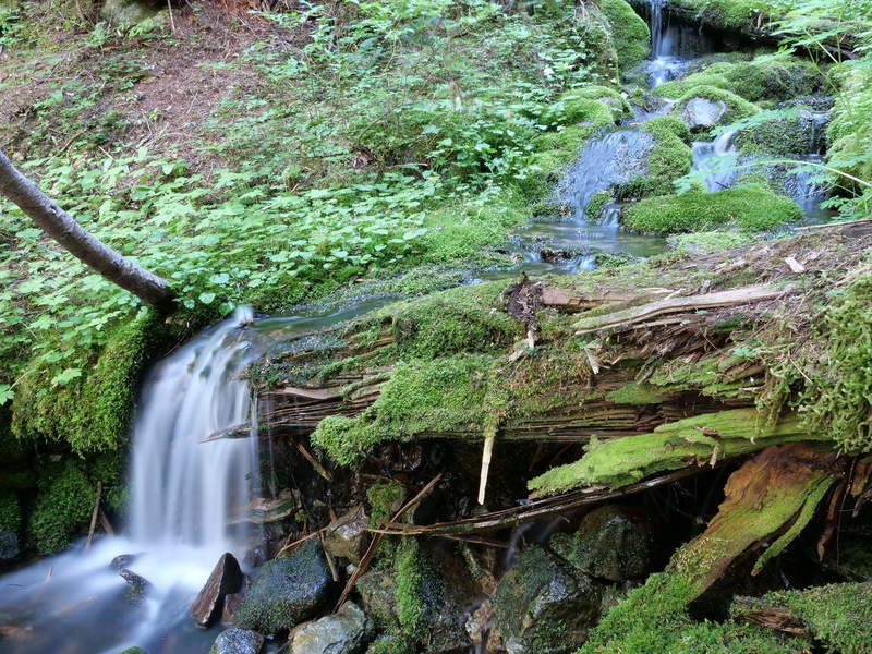
At the end, I had reached Spray Falls, where you can cross the fast stream to get very close to its base. I didn’t climb all the way up, just enough to get a good shot of it. Any closer, the water was already starting to spray. Maybe that’s how it got its name.
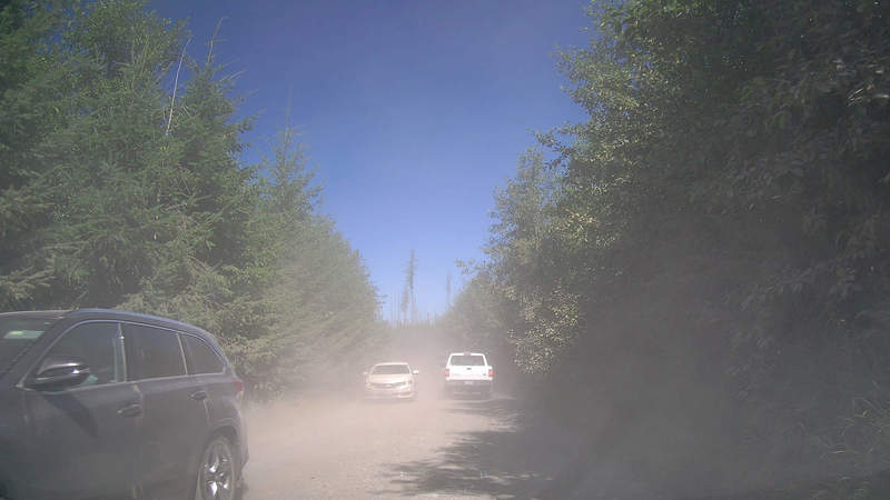
A Dusty Road
By the time I started driving, at around 11:30, there were a lot more cars on the parking lot, and several cars driving down. There was a long line of cars in front of me, the slow one at the front presumably not noticing the line or not having the mindfulness to pull over and let others pass. It was a long and dusty drive down, as it took about 45 minutes to get back to the base of the mountain. A lot slower than the way up.
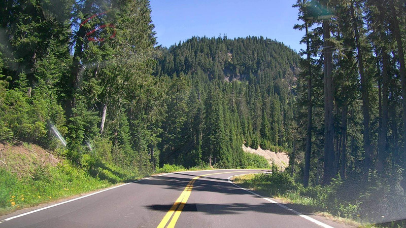
A Congested Road
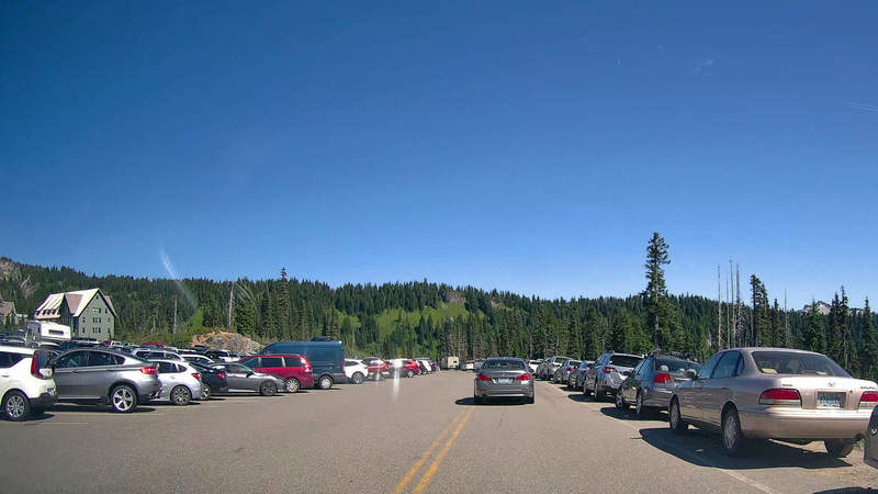
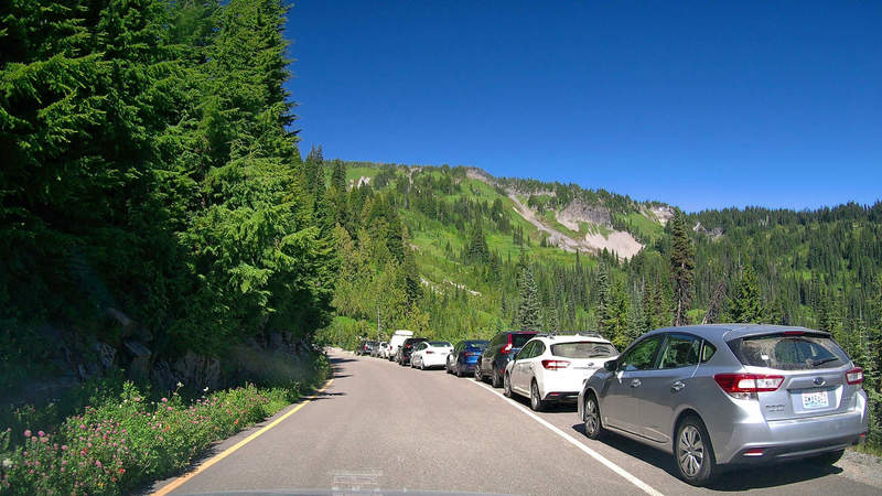
I took the north route around Mt. Rainier, to enter the park from the east. Since it was the weekend, and there are loads of camping and leisure spots along the road, the drive was pretty congested. A practice in patience.
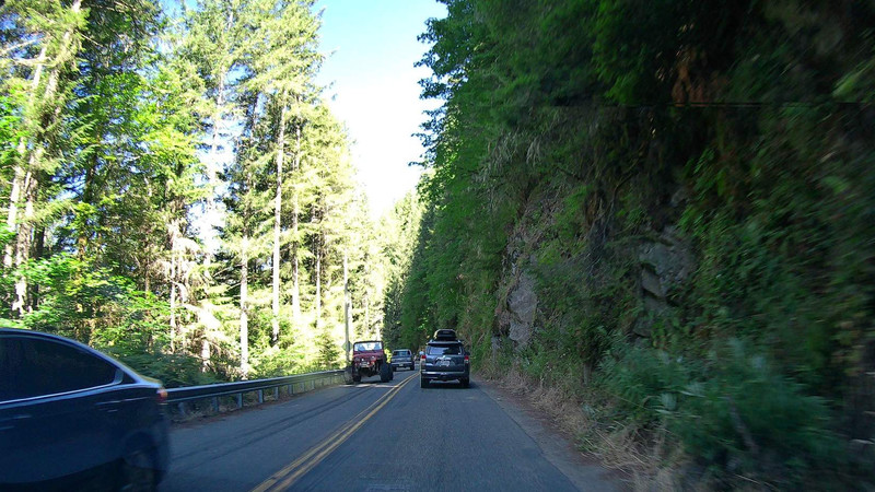
The road through Mt. Rainier National Park looked nice, but was also somewhat congested at points.
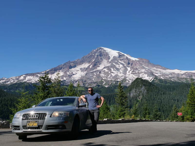
Mount Rainier National Park
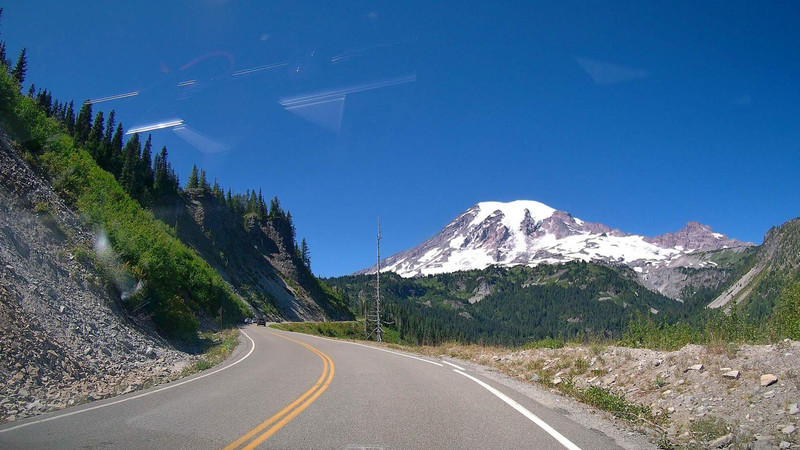
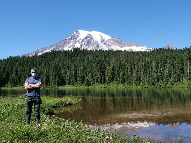
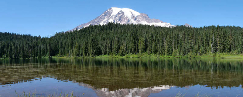
There was no real plan for Mt. Rainier. It wasn’t on my road trip plan. But it was along the way, basically one road that has all the sights. I didn’t even know what the sights were, but rather stopped by the ones suggested by Google Maps, and the national park map I got the day prior. The park was extremely crowded, so I took some pictures and drove on, not stopping for any hikes. First up was Reflection Lake. The creative name probably stems from the fact that the mountain can be seen reflected in the lake. Very inspiring.
Apprently, the town of Paradise is the main point of interest at the base of the peak, which I also hadn’t known. The parking lot was full, so I didn’t bother to stop there. It wasn’t on the plan anyway, and the perfect photos aren’t that interesting anyway.
Some nice views were to be had at that location anyway. It just looked too perfect, like some fairy tale.
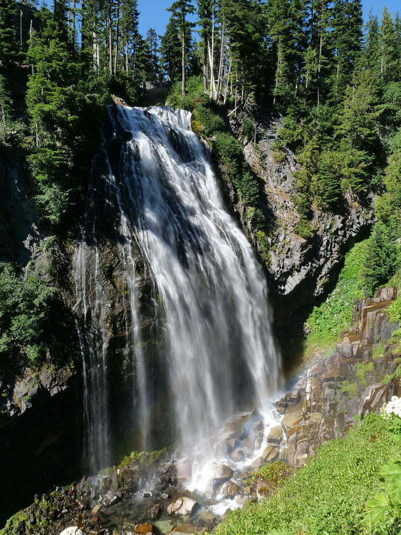
A brief stop at Narada falls to experience a happy little rainbow at the bottom of the falls.
There was really good vantage point on the way back and took some glamour shots.
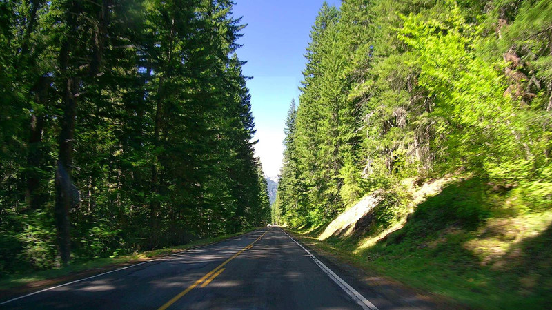
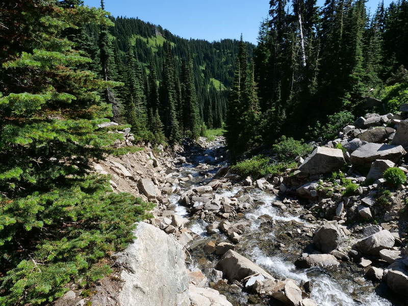
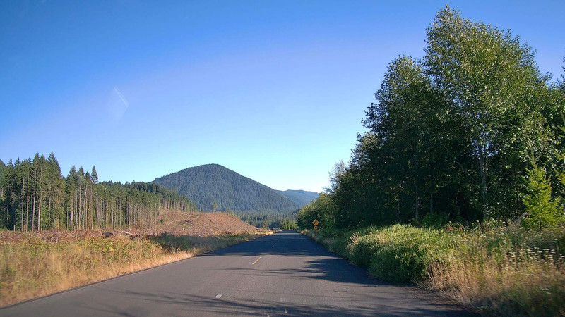
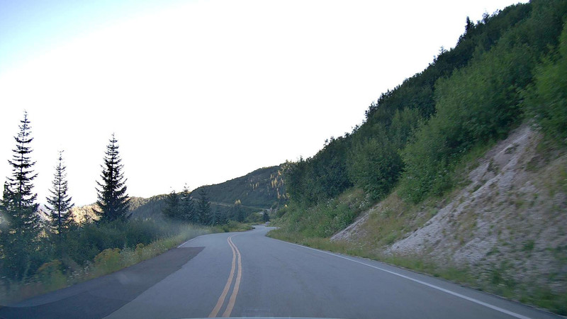
A Forest Road
Finally out of the congestion, I had plotted a route through a forest road, hoping to get some flights in along the way. It would take a bit longer, but it avoided highways, so I would be free to enjoy the road by myself.
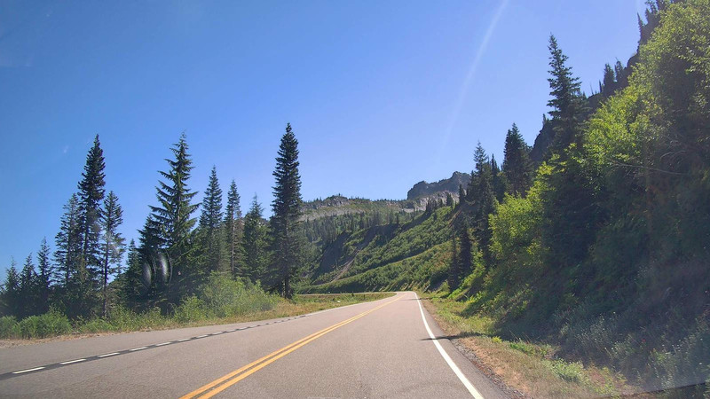
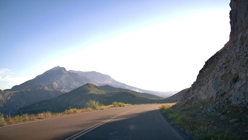
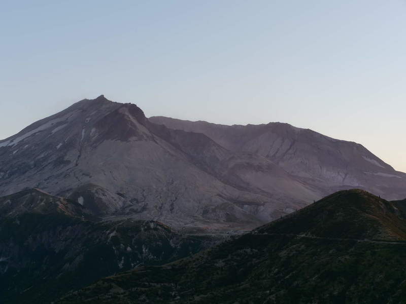
Mount St. Helens
Along the way, there were signs posted to an overlook of Mt. St. Helens. As I didn’t have a specific time or place to be at, I took the 9 mile road up the mountain to reach Mt. St. Helens, which is an active stratovolcano.
According to Wikipedia:
Mount St. Helens is most notorious for its major eruption on May 18, 1980, the deadliest and most economically destructive volcanic event in US history. Fifty-seven people were killed; 250 homes, 47 bridges, 15 miles (24 km) of railways, and 185 miles (298 km) of highway were destroyed. A massive debris avalanche, triggered by an earthquake of magnitude 5.1, caused a lateral eruption that reduced the elevation of the mountain’s summit from 9,677 ft (2,950 m) to 8,363 ft (2,549 m), leaving a 1 mile (1.6 km) wide horseshoe-shaped crater. The debris avalanche was up to 0.7 cubic miles (2.9 km3) in volume. The Mount St. Helens National Volcanic Monument was created to preserve the volcano and allow for the eruption’s aftermath to be scientifically studied.
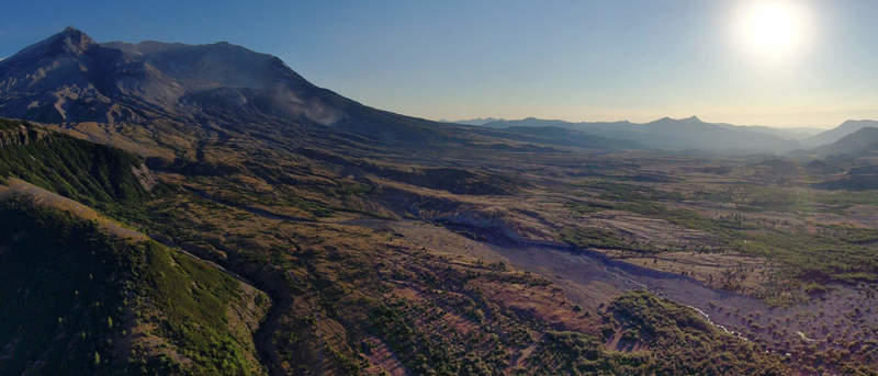
It is that crater that I came here to see. Double-checking flight restrictions, I was happy to see that there were none on the lookout point, so I managed to get in a couple of flights, and amazing views of the exploded mountaintop and the valley below. The aerial vantage point was a lot better than the parking lot one.
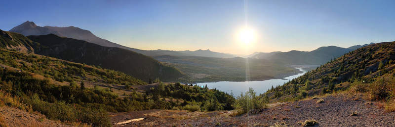
After leaving shortly before sunset, I had decided to check out a viewpoint that was on the way down. There, I encountered a group of photographers that had set up a bunch of equipment. They had set up for the night to get shots of the Pleiades meteor shower over the distant mountains, which were clearly visible from that vantage point.
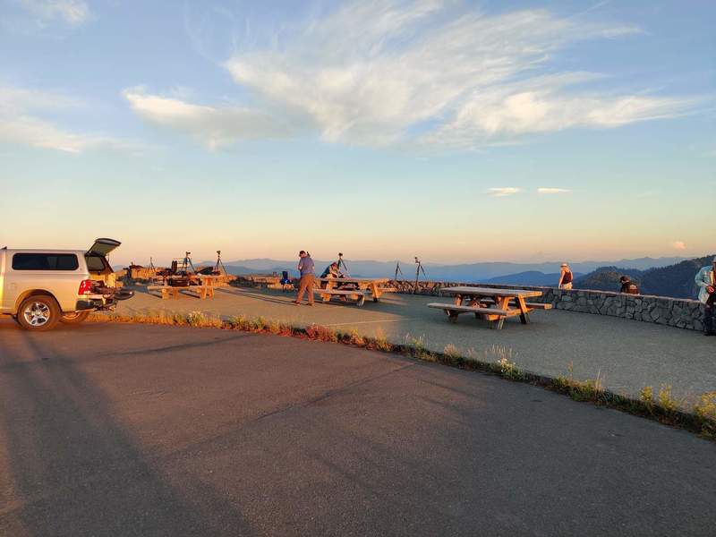
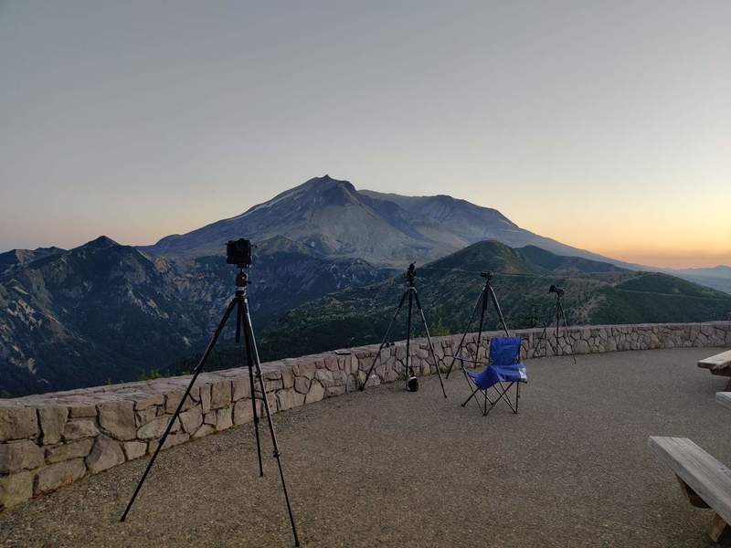
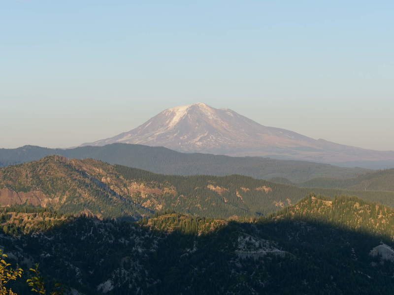
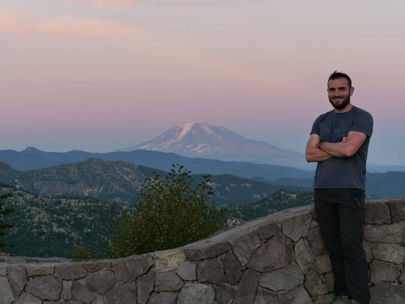
Chatting with them took way longer than expected, but it was also very interesting to chat about photography. I took the opportunity to take some sunset photos of distant landscapes. Mount Adams looked pretty nice during golden hour, such that I decided to take a tripod selfie.
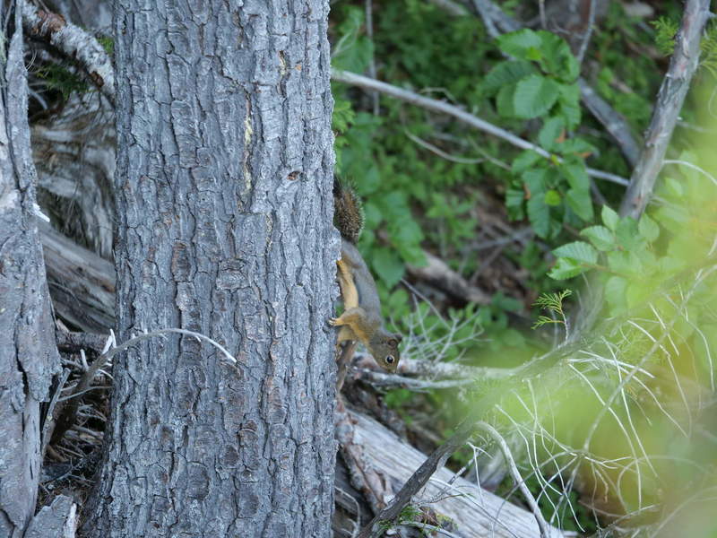
Some local wildlife was roaming around, so photos abound.
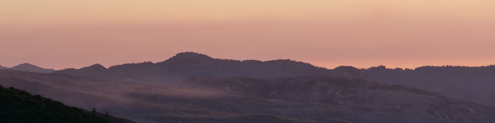
Mount St. Helens was also looking pretty sweet from that vantage point.
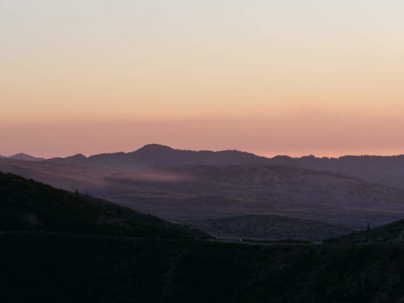
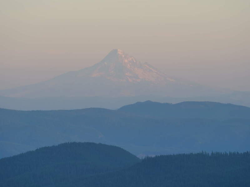
Mount Hood was barely visible through the haze. This is my destination for the night.
I had considered staying the night and spending time with them doing some night photography, but in the end I didn’t feel it 100%, and wanted to catch up on my road trip plan. So I set out into the night.
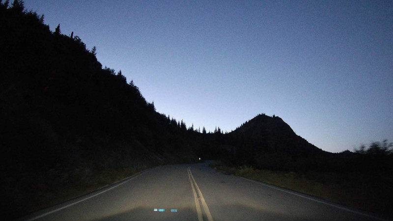
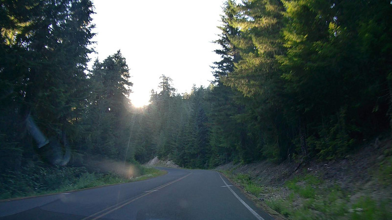
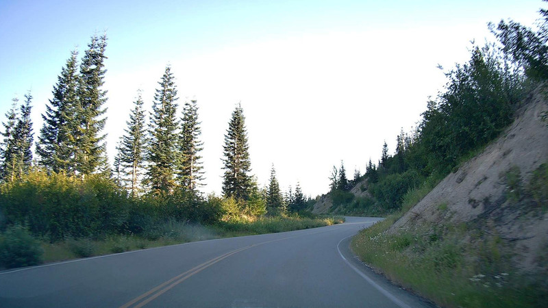
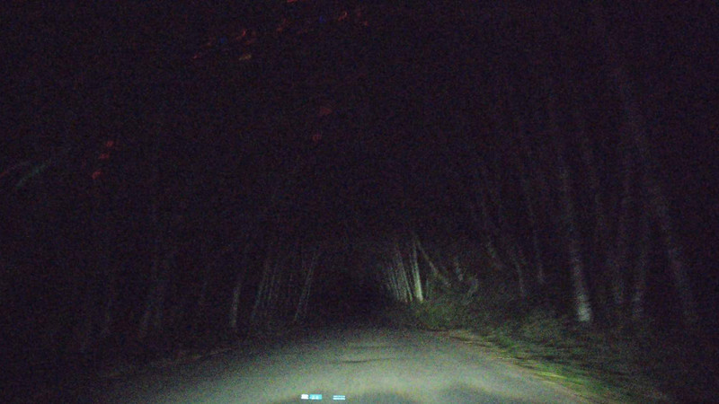
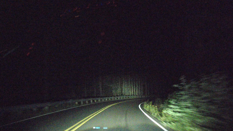
A Dark Forest Road
The drive through the winding forest road was lonely and long. Way longer than expected. It was a bit scary to stop anywhere and get out of the car into the darkness. I won’t be camping in the forest, the goal is to reach Oregon and Mt. Hood.
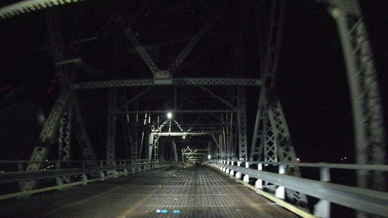
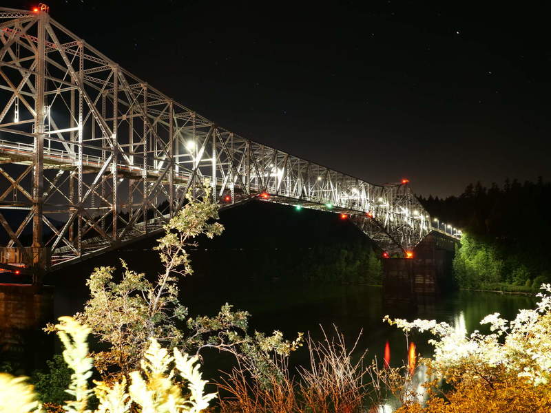
A Bridge Over Untroubled Water
Finally, after several hours of driving in the dark and staying awake, I had reached the Bridge of the Gods. Welcome to Oregon. I had booked a last-minute hotel in Cascade Locks when I got cell signal, about 15 minutes prior, since a good night’s rest was needed after such a long day.
Feeling pretty exhausted, I’ve decided to take it easy tomorrow.