Road trip journal #6: Moss to Needle
Roaming around moss-covered temperate rainforests and of Olympic National Park. Catching a sunset view of getting on a ferry to Seattle and sleeping close to the Space Needle.
Summary
- Start: 09:00 (North Fork campground, Olympic National Park, WA)
- Finish: 00:02 (Seattle, WA)
- Distance: 304 mi (486 km)
- Hiking: ~5 mi (8 km)
- Mood: mossy
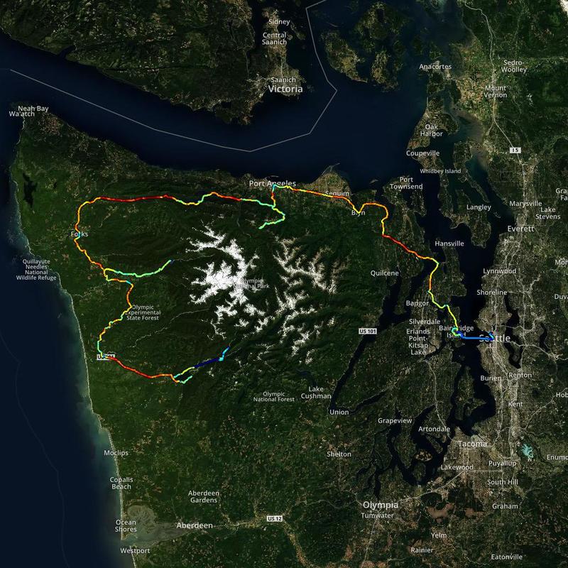
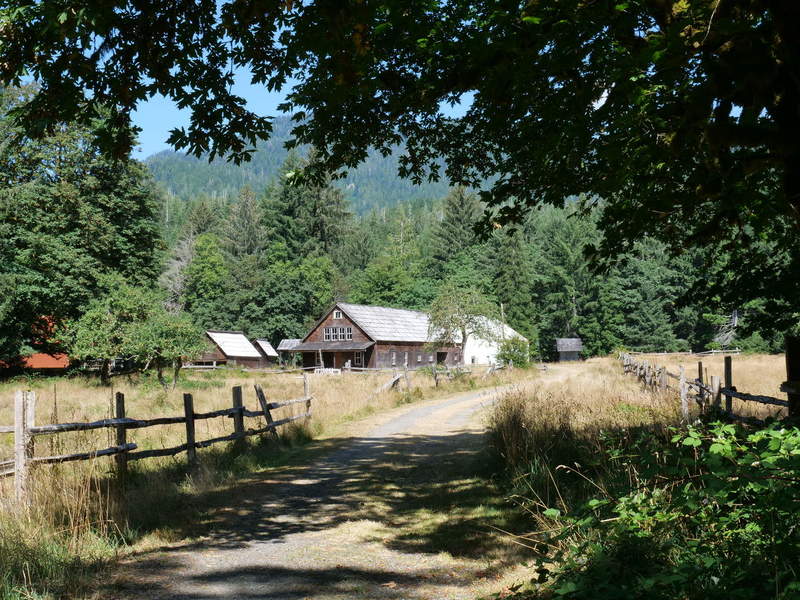
After a good night’s rest (slept better than a baby), it was time for an early start. I came up with a plan for the day, first exploring the Quinault area, going to Hoh Rainforest, Hurricane Ridge, and finally ending up in Seattle. It took about an hour to get ready, and I waas off by 9 AM.
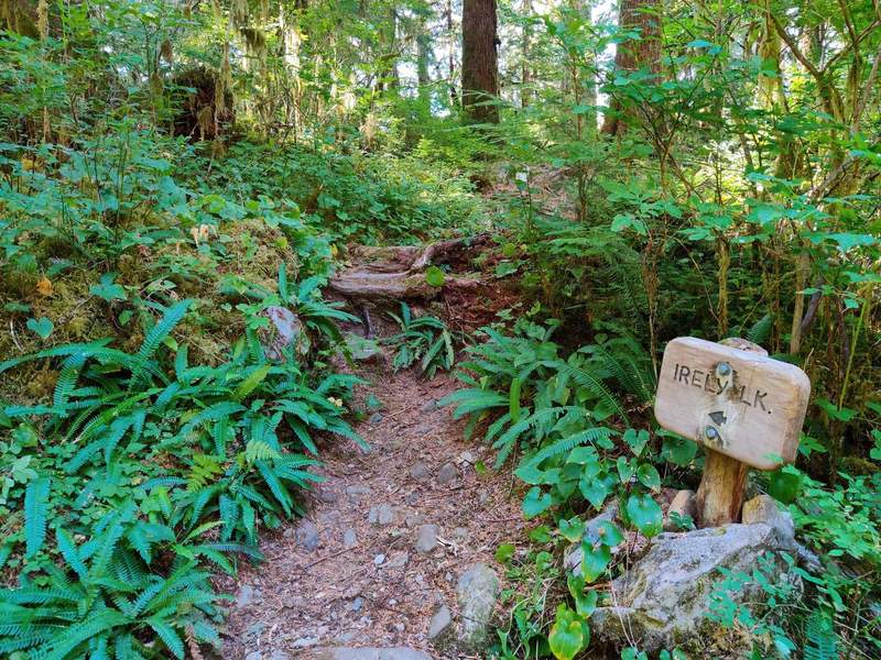
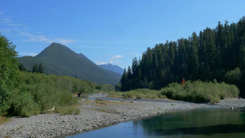
Irely Lake
First I went to Irely Lake, and the trail was practically next to the campground, and was only 1.1 miles one way. The morning sun was shining through the evergreens. After I reached the beautiful lake, I took lots of bracketed photos for HDR panoramas. That took about half an hour.
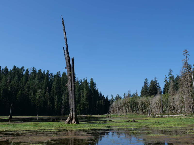
It took a bit longer than originally anticipated, at 1.5 hours total and I was back at the car at 11. The road didn’t look as gloomy as the night before.
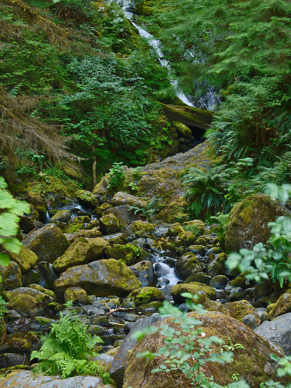
Bunch Falls
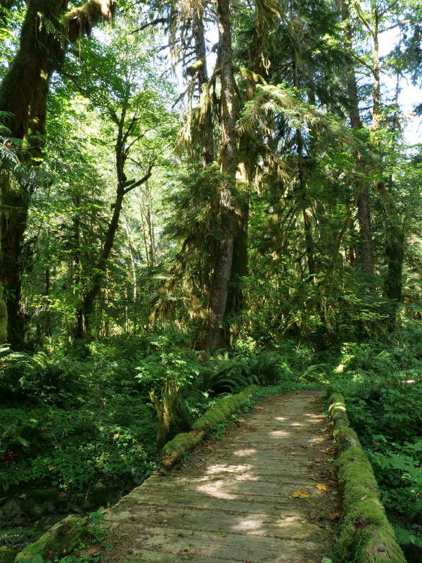
A brief detour back to Bunch Falls on the South Shore road took me over the same bridge I had crossed the night before. So, naturally, I took the same picture in the morning.
Once there, the trip was worth it. I only took photos from the road. There is a short 5 minute hike to the fall, but I didn’t venture in.
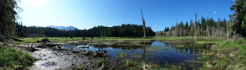
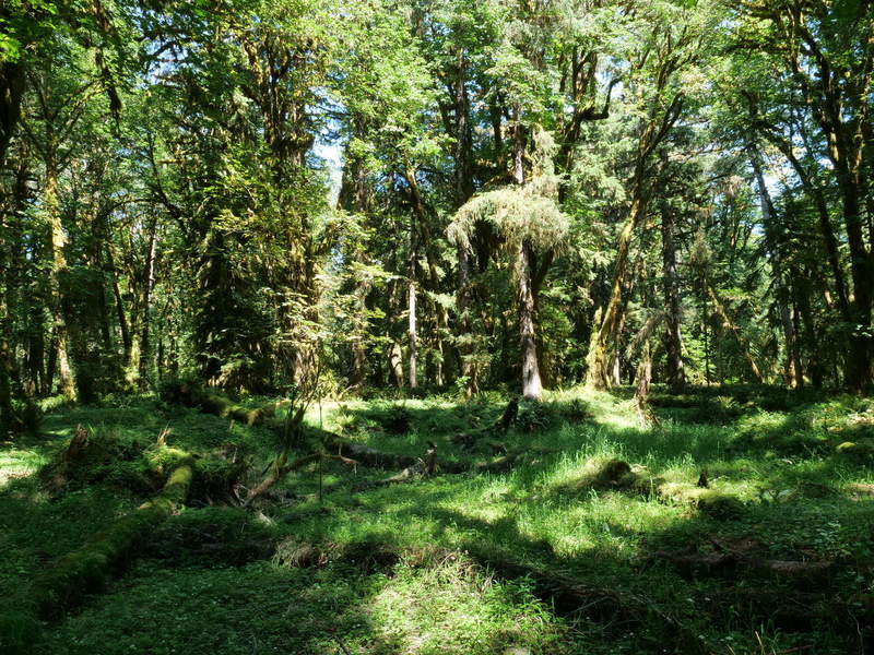
Maple Glade
The next stop along the way was Maple Glade Nature Trail. It is a flat loop trail that goes through a glade of moss-covered maples. I took the longer route that also passes through a field. I was taking lots of HDR photos, so the 1.8mi loop took about an hour to do. Along the way, selfies were taken to better represent a sense of scale.
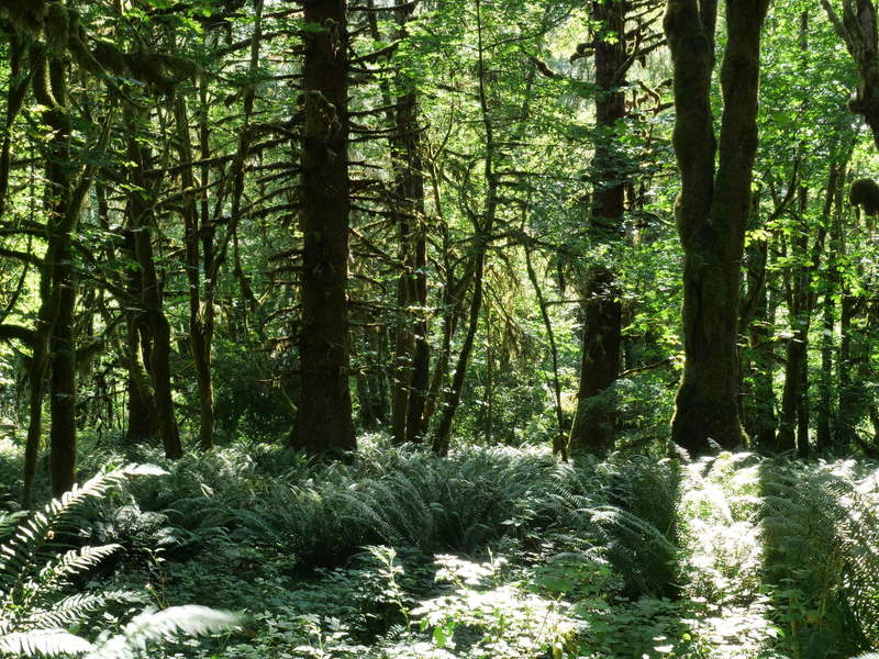
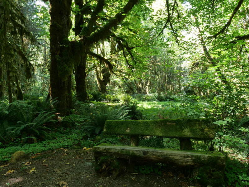
There is a small loop close to the parking lot, which leads to a magnificent bed of grass, surrounded by moss-covered maples. I took lots of photos to create a panorama, but cannot currently get good results that would show the true sense of beauty. Until that is done, I am sharing an small excerpt.
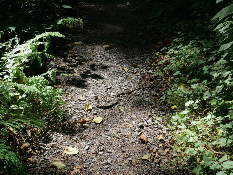
I was nearly alone on the trail, except for a brief staring contest with a specimen of the reptilian family. As I fiddled through camera settings to get a better shot, he was gone, and my way was free. He probably thought I was crazy.
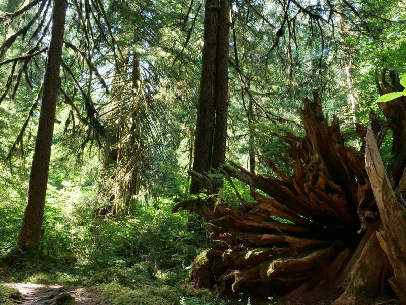
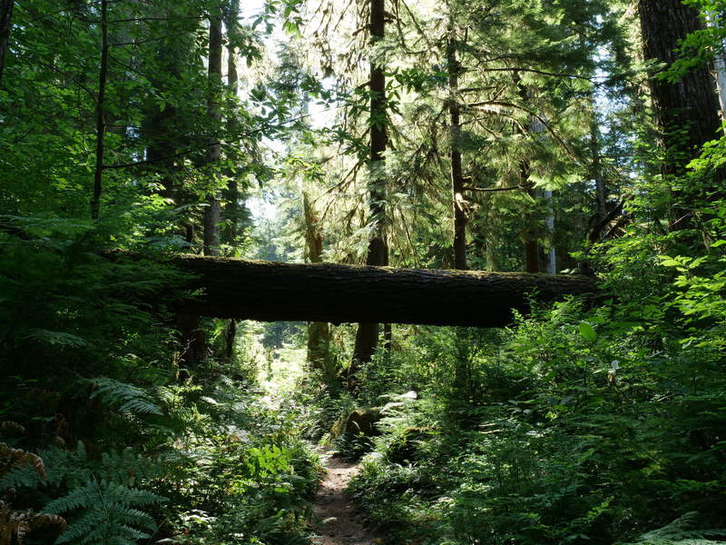
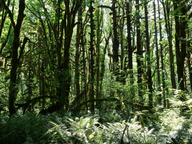
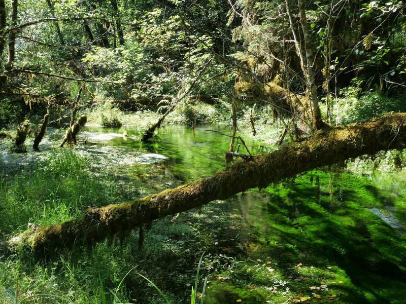
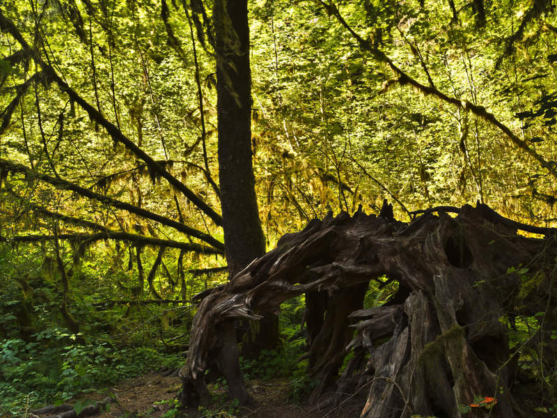
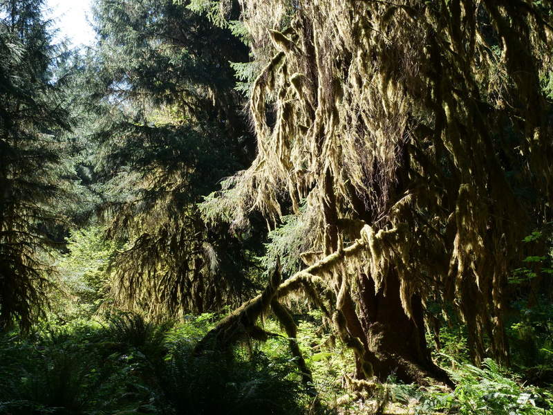
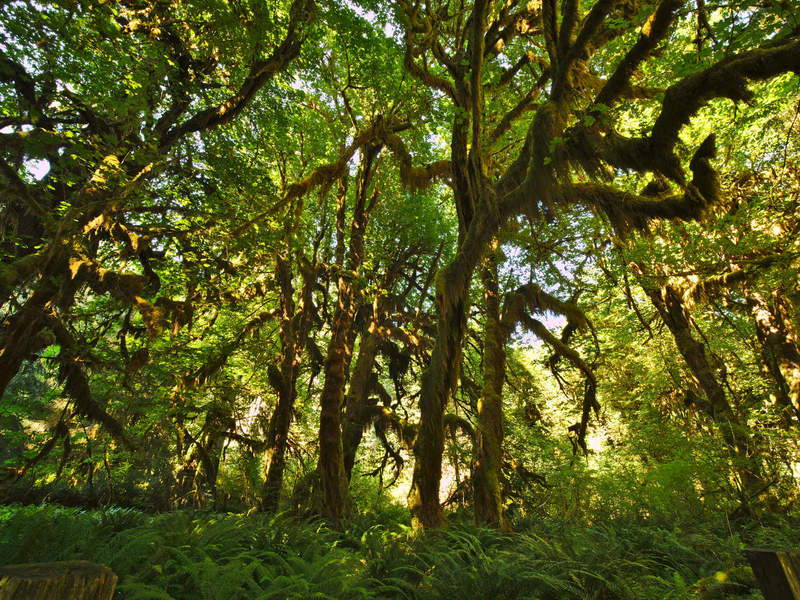
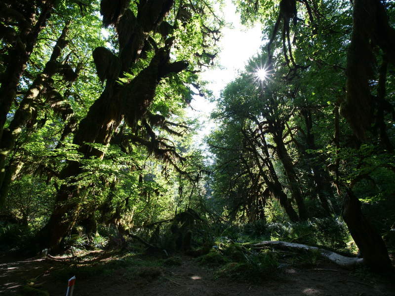
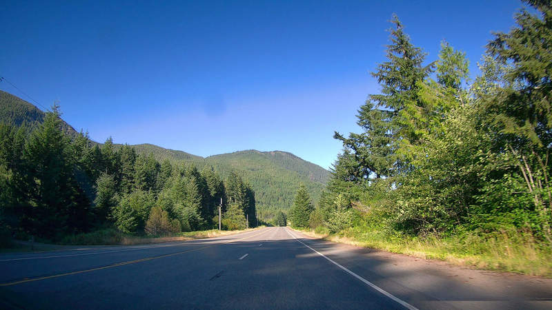
Hoh Rainforest
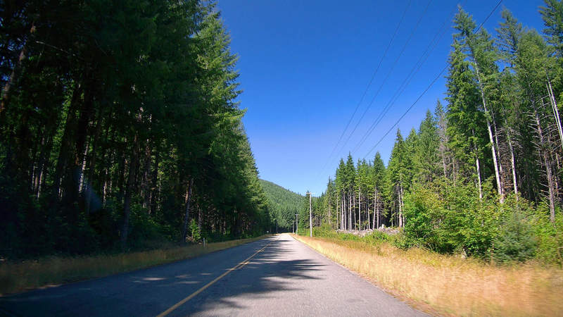
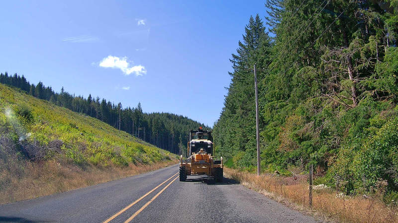
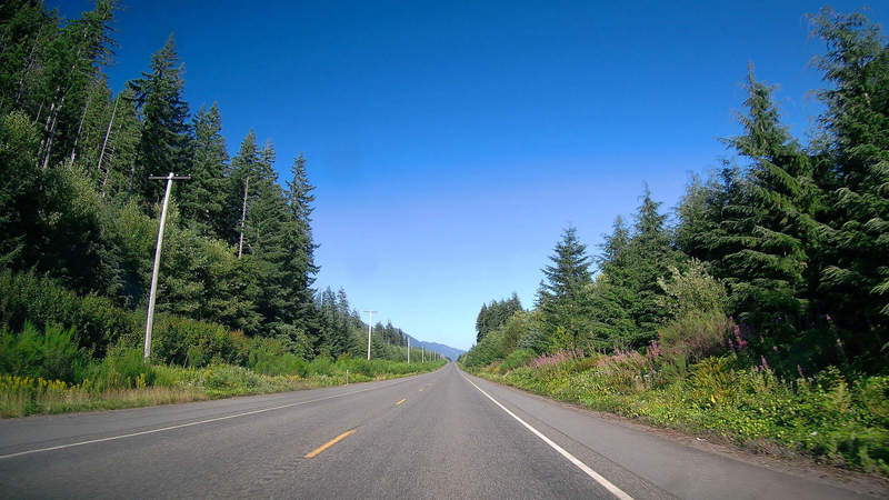
Next up was the famous Hoh RAinforest. I took a road off the main highway 101, through Clearwater road. It was a breath of fresh air, being clear of all traffic, able to enjoy the scenery by myself.
The only thing in my way was a forest utility vehicle.
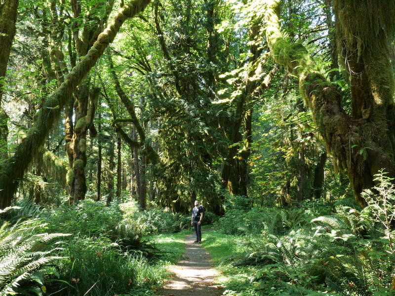
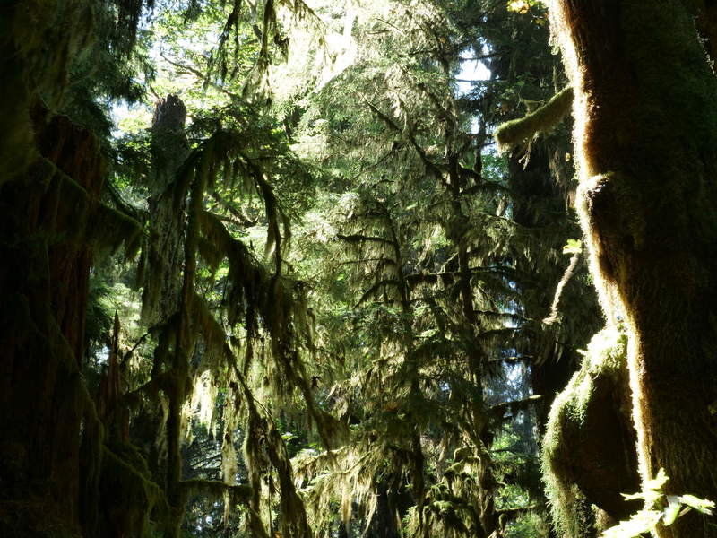
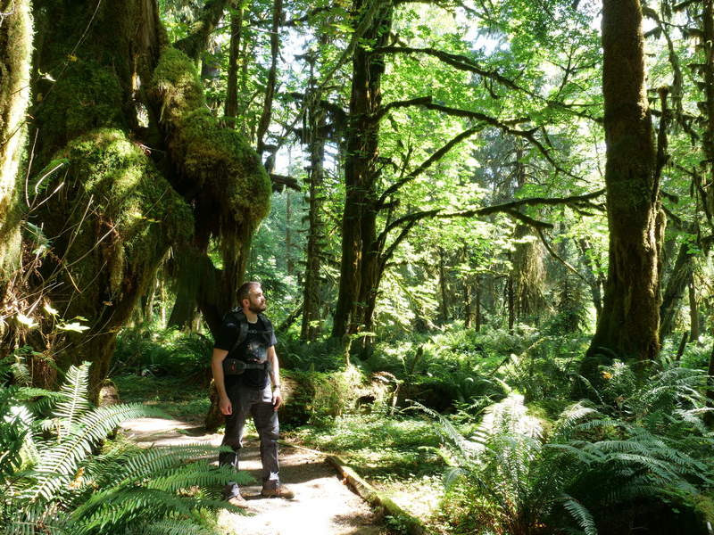
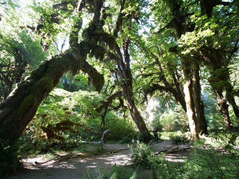
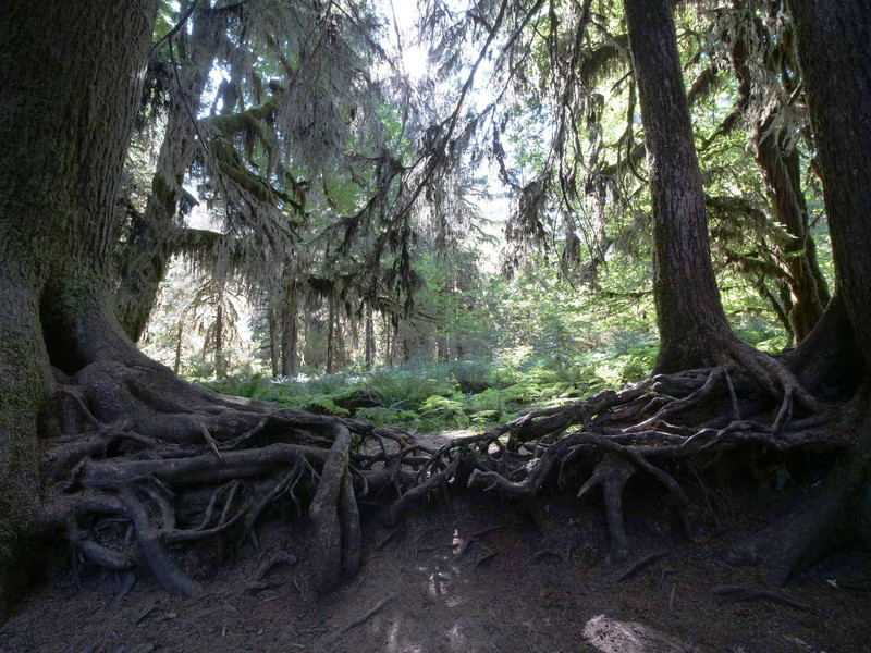
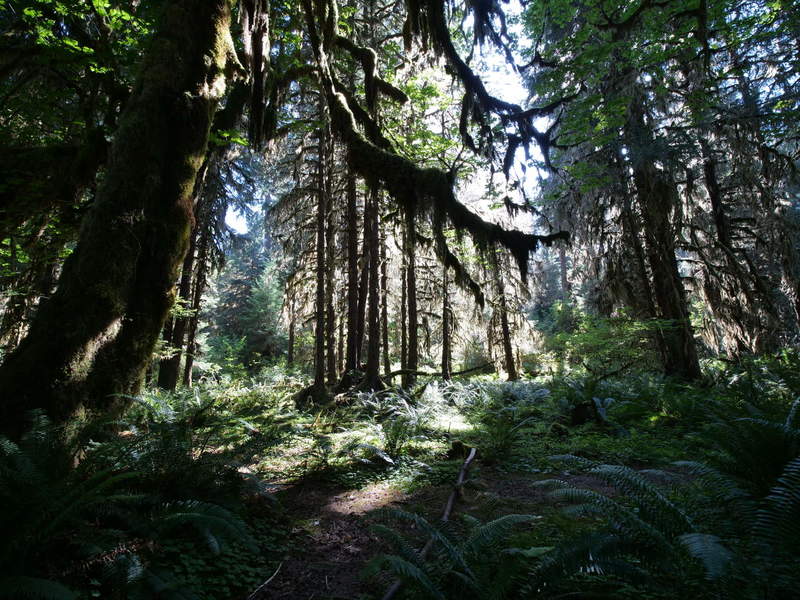
The drive into the rainforest takes about 30 minutes. Once at Hoh Rainforest, it was already past 3 PM, and I still wanted to get sunlight at Hurricane Ridge. Hence, there was only enough time for a trek through the Hall of Mosses, which took about 1.5 hours. This is a moderate (as opposed to tropical) rainforest, which causes the trees to be covered in a lot of moss. Coupled with the afternoon summer sun, it made for some beautiful scenes.
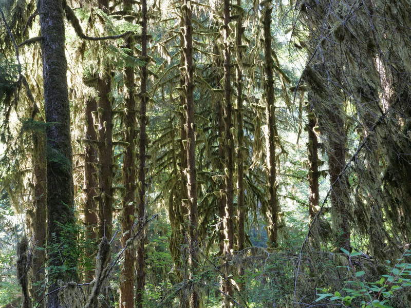
The Maple Grove feels like a cathedral of trees.
The parking lots were full, and the trail was pretty packed with people. It took active effort to distance from everyone, so it was quite a different experience from the solitary Maple Glade. I still managed to take a selfie for scale, standing near the bottom center of the image.
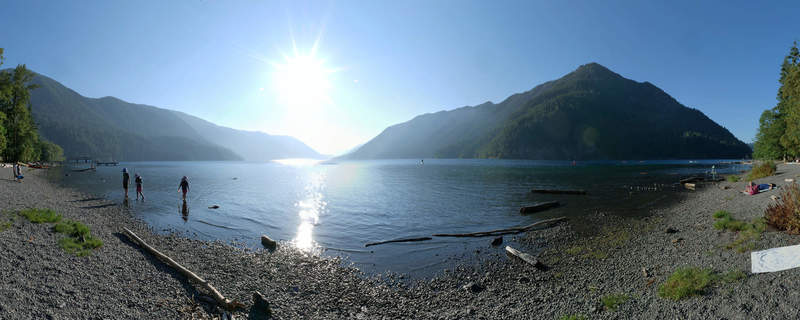
Lake Crescent
By 5 PM I was back on the road again. It was a long drive to Hurricane Ridge, but fortunately, at this latitude, the sun is up until around 8:30 PM.
So I still had time to make a short stop at Lake Crescent to take a panoramic shot..
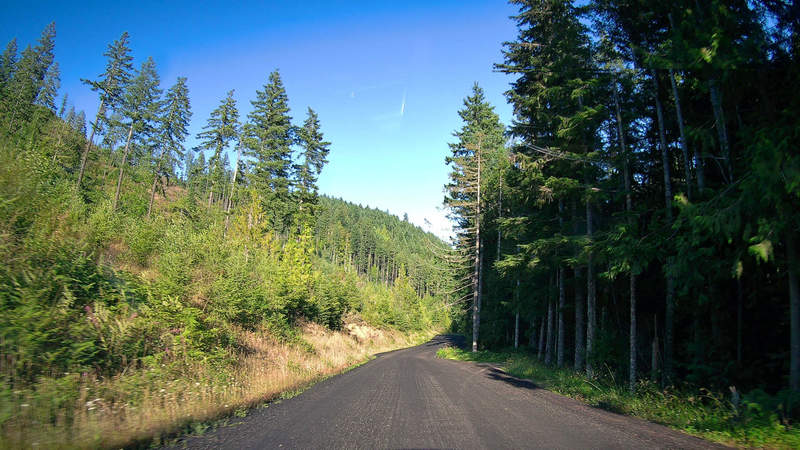
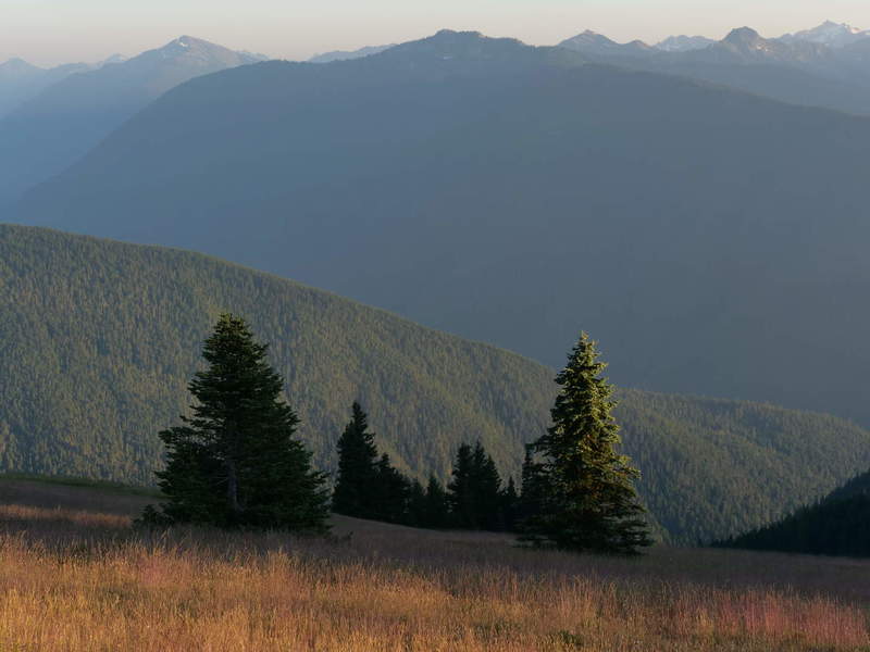
Hurricane Ridge
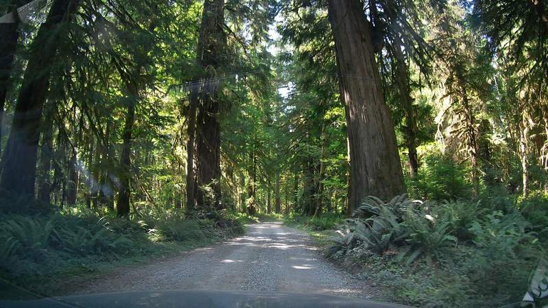
Again I took a road off the beaten path, which took me to a seemingly fresh road through the forest.
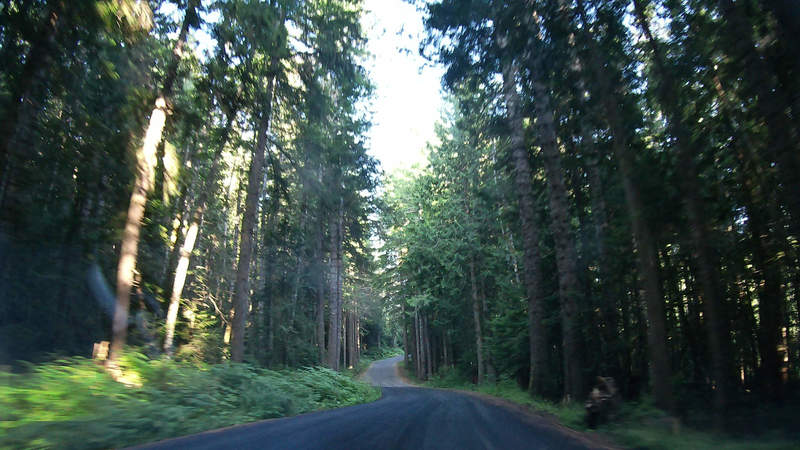
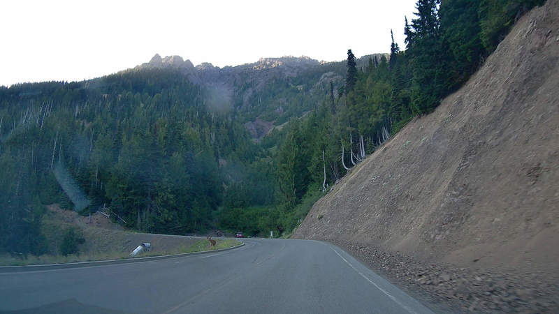
The road up to Hurricane Ridge is winding, and sometimes frequented by deer;
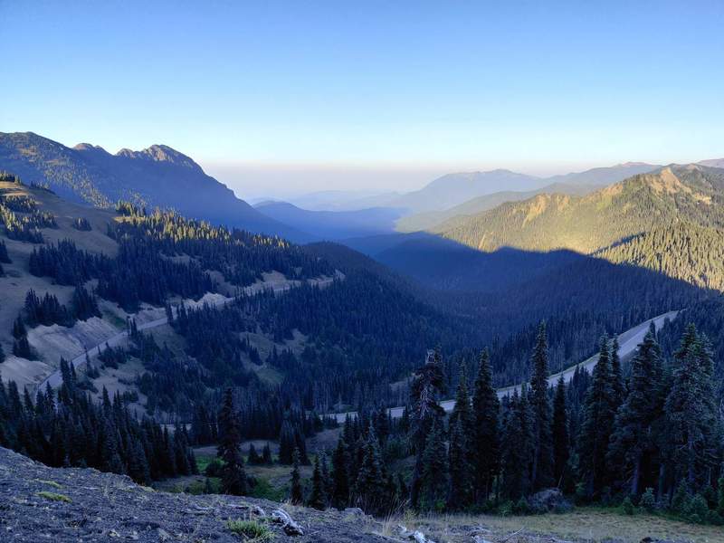
Once at the top, the sunset views around 7:30 PM did not disappoint.
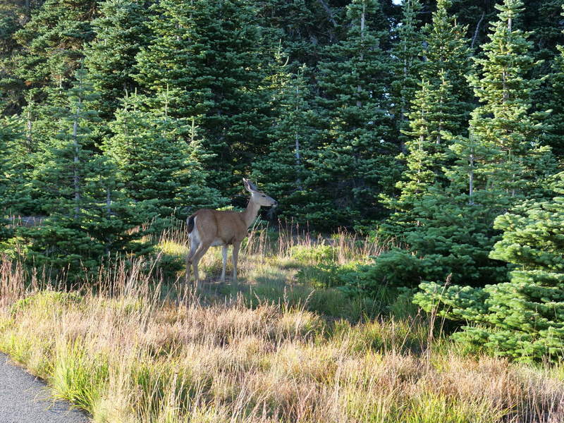
Even this fella was having dinner.
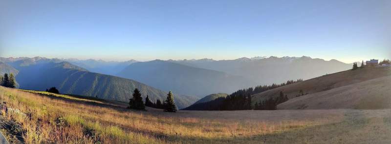
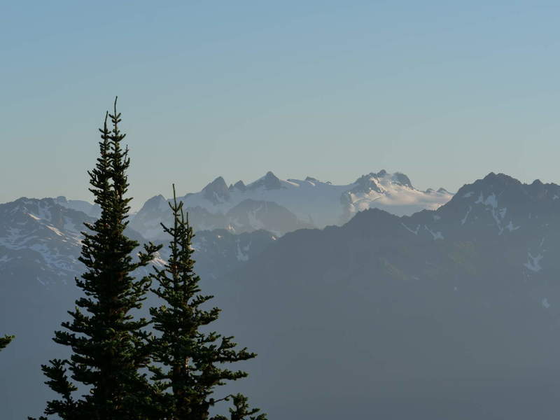
I took the opportunity to do a brief “hike” up a ridge to better catch some sunset views.
A bridge too far
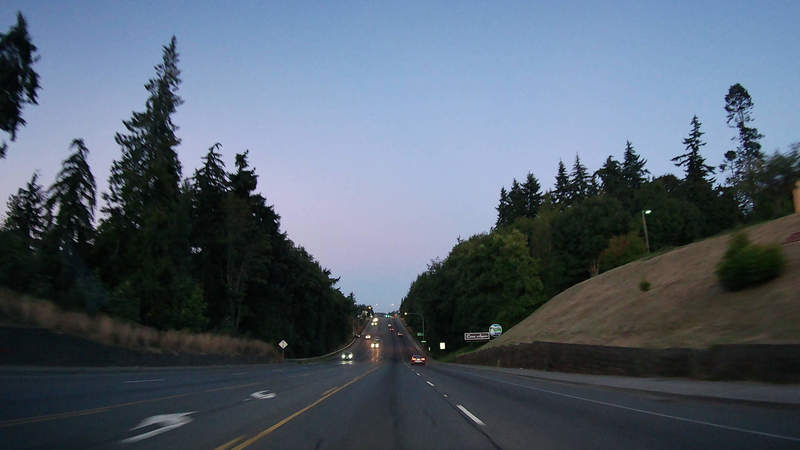
After that, it was a long trek to Seattle. The night was falling, and it was still about 2.5 hours of driving away. I had booked a hotel earlier in the day, and was keen to reach it. The drive was a bit of a drag, with lots of traffic and low visibility.
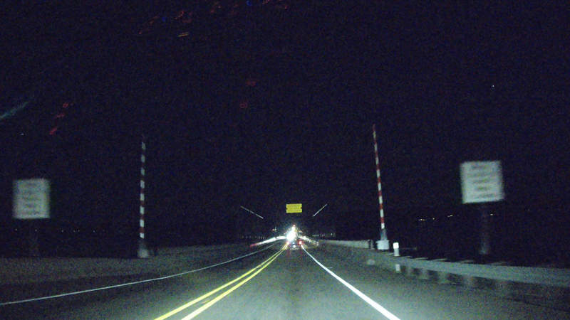
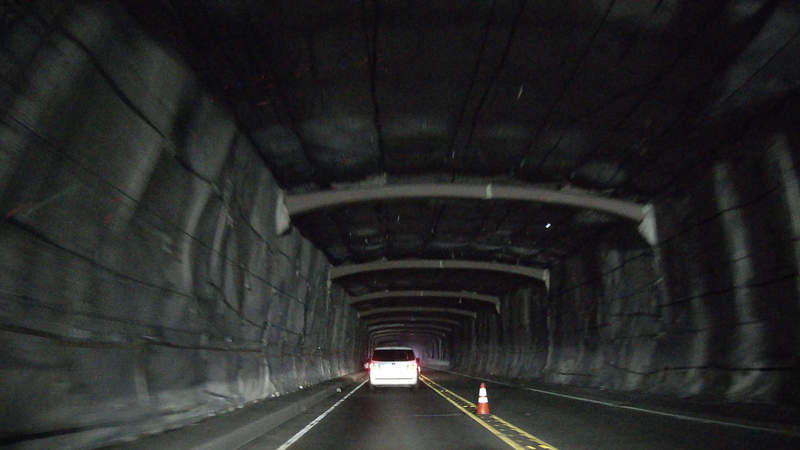
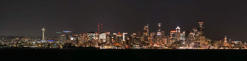
Google took me to the Bainbridge ferry. I had arrived at 10:30 PM, however the next one would be at 11:30 PM. Alternatively, I could have taken the bridge to Tacoma south from there, which would have been another 100 miles of driving, and I would reach Seattle at about the same time. That was too far for my exhausted mind. Instead, I took the opportunity to drive to a spot with potential night views of Seattle, and managed to get some nice shots.
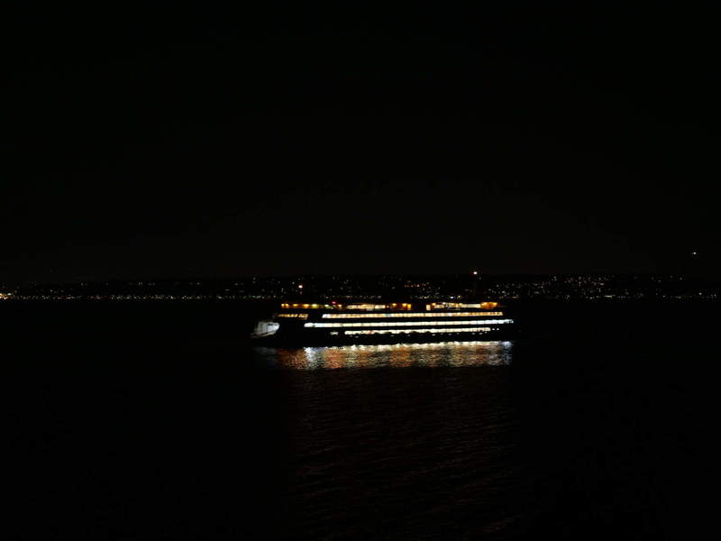
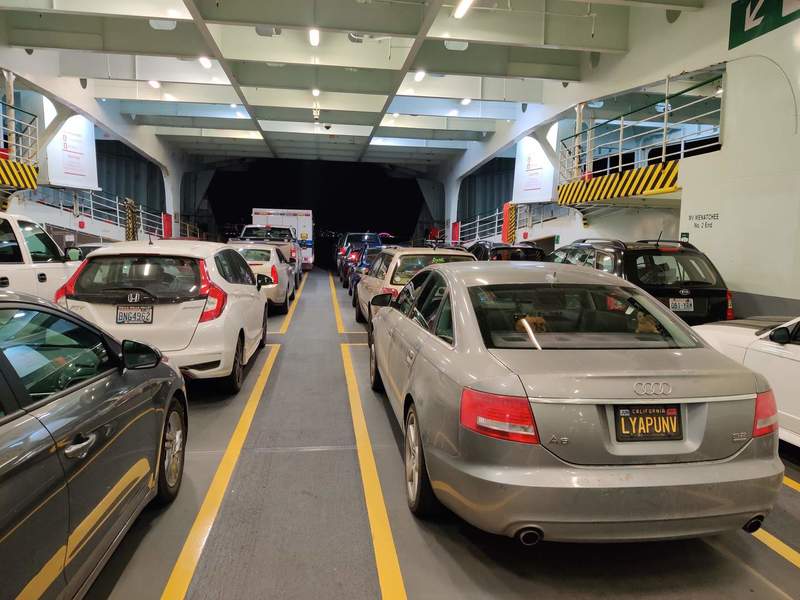
The ~20 min ferry ride was pretty uneventful. I was too tired to venture out to get some bay views of the city.
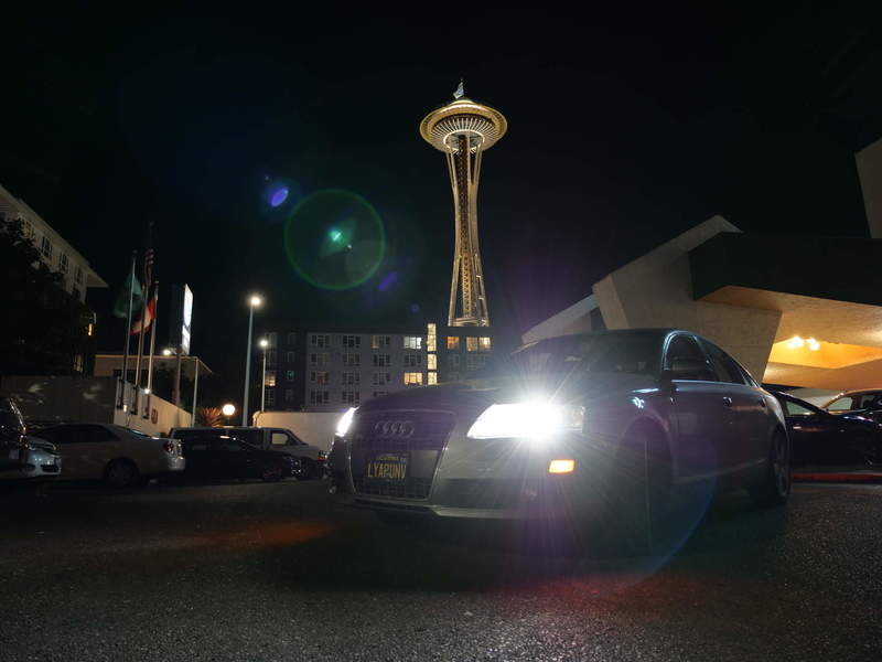
Around midight, I was finally there. I didn’t become the prince of Bel Air, but I did sleep in a hotel next to the Space Needle.