Road trip journal #4: Cape Arrakis
Slowly and tiredly inching away along the Oregon coast, with views of sand dunes and capes along the coast.
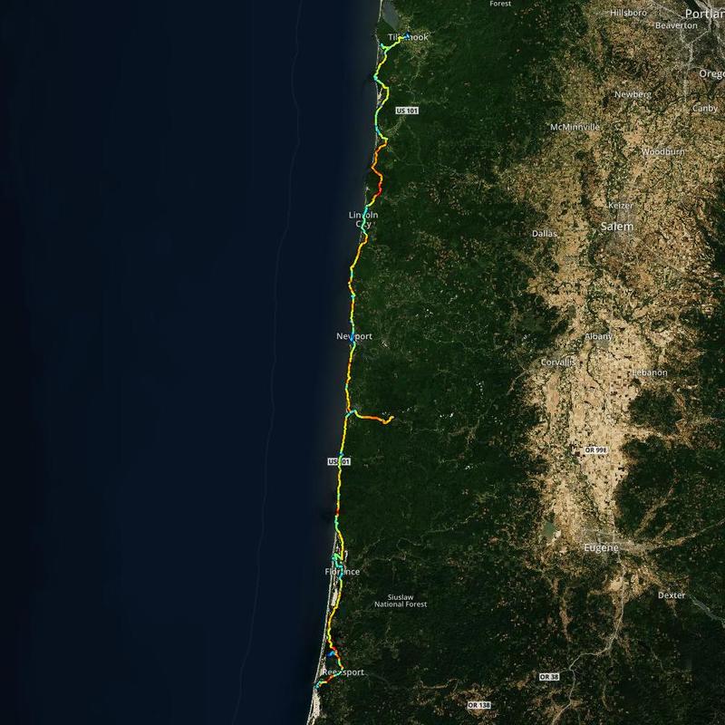
Summary
- Start: 10:25 (Winchester Bay, OR)
- Finish: 22:00 (Tillamook, OR)
- Distance: 192 mi (307 km)
- Mood: tired
Today was spent enjoying the Oregon Dunes and views of capes along the Oregon Pacific Coast. Oregon dunes famously inspired Frank Herbert to write Dune. The day was slow because I felt tired and needed frequent breaks.
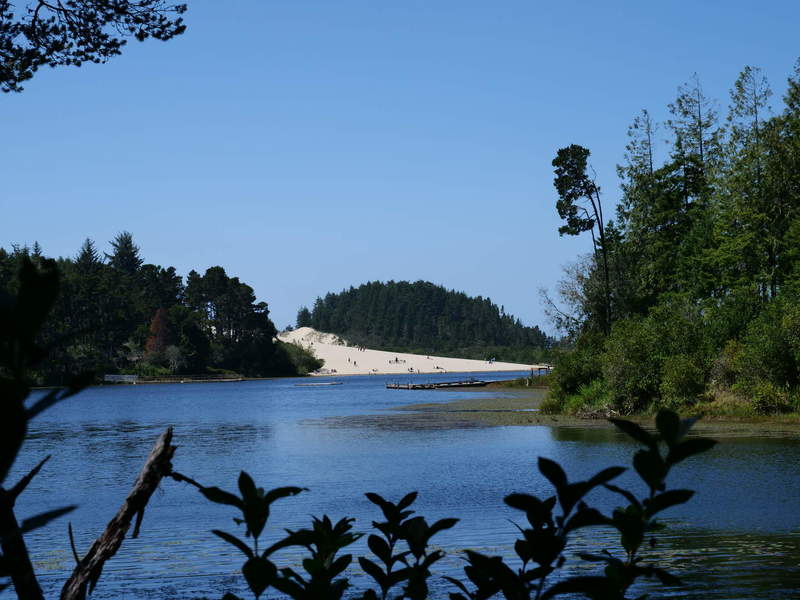
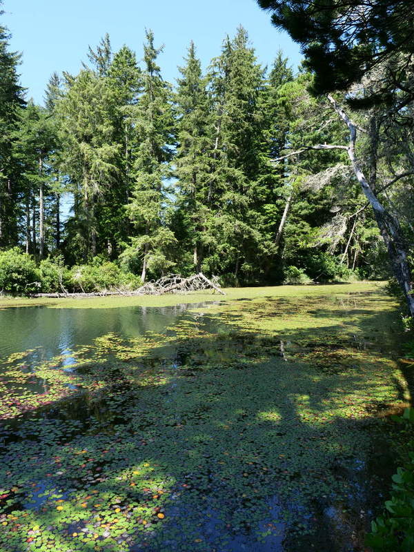
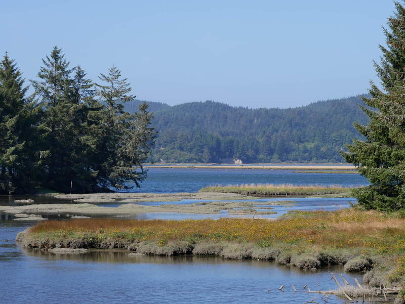
Clearwox Lake
Starting to drive, I had already started to feel tired, so I made a stop at a location that looked good on the map, and took a 30-minute nap in the car. This was followed by lunch with the following views of the lake.
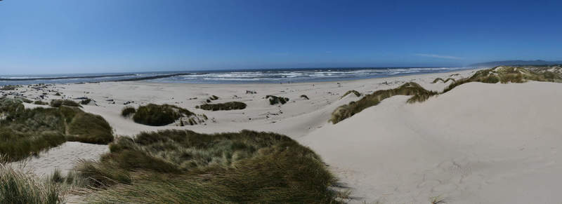
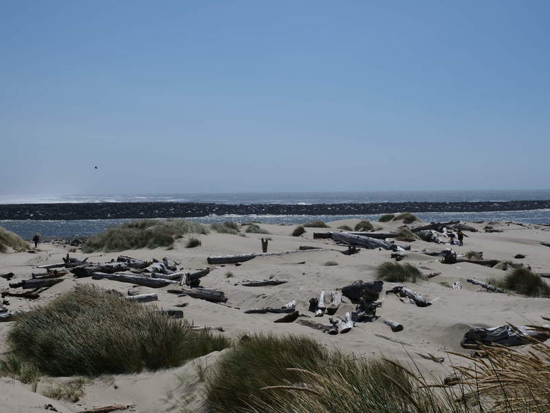
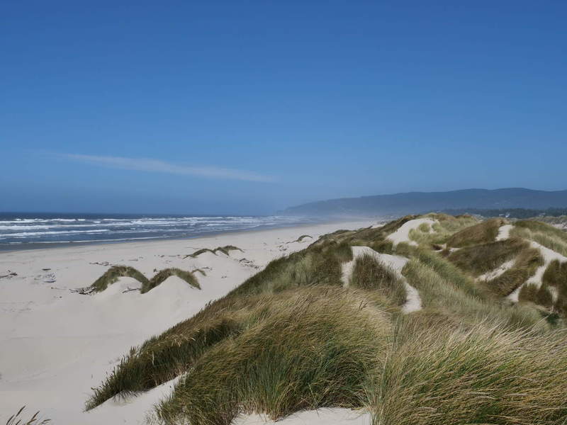
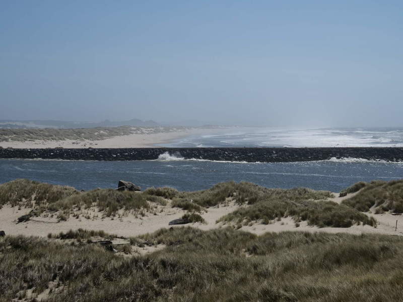
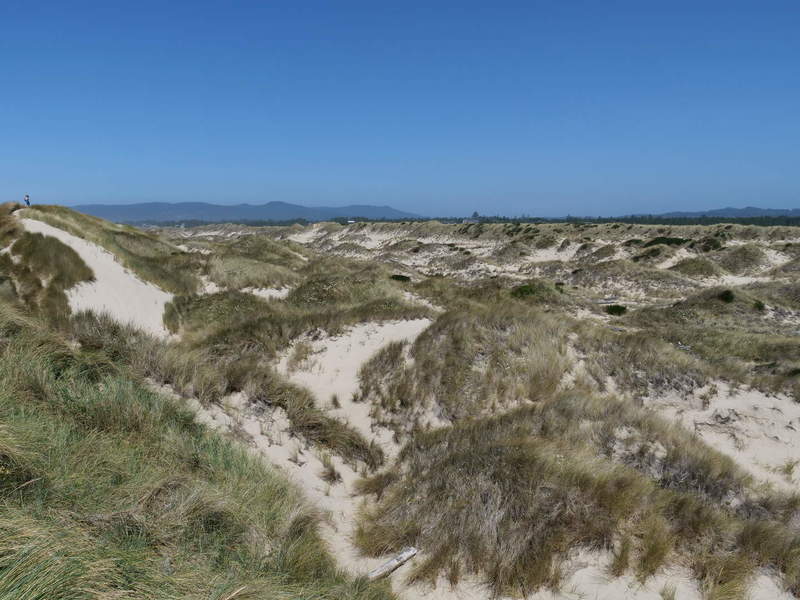
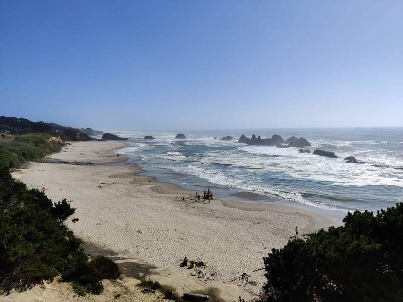
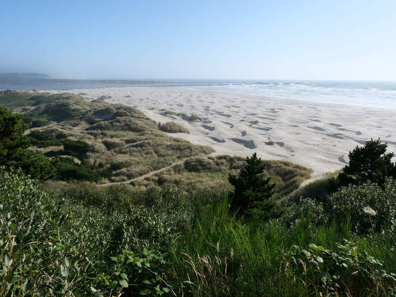
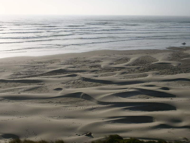
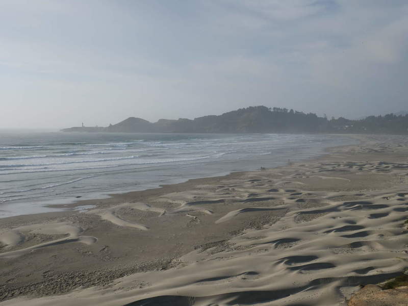
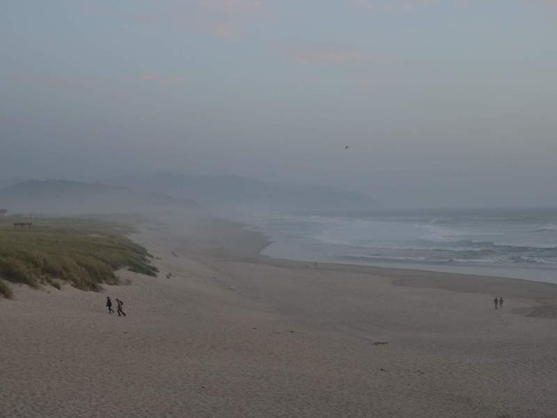
North Jetty Beach, Florence
Then it was off to Florence to resupply and tank up. Florence is at the mouth of the Siuslaw river. I went to the North Jetty Beach to see some dune action. I am glad to report that I have sighted no sandworms. No trace of the spice melange, either, so that makes sense. I guess sandworms don’t like water.
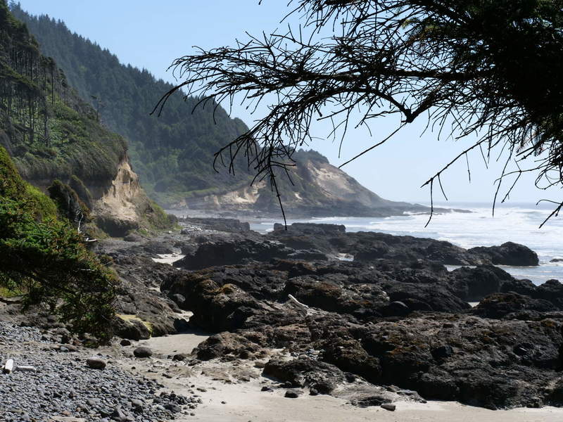
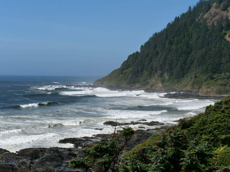
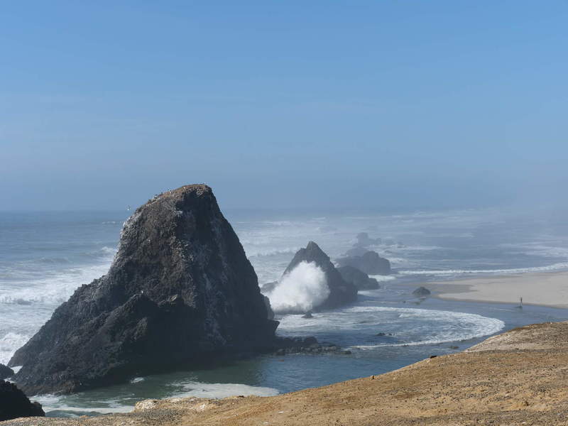
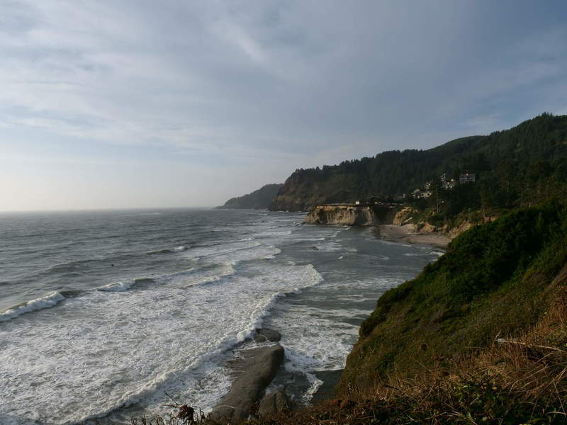
Caper Perpetua
It was off north to see some sights along the coast. First up was Bob’s Creek.
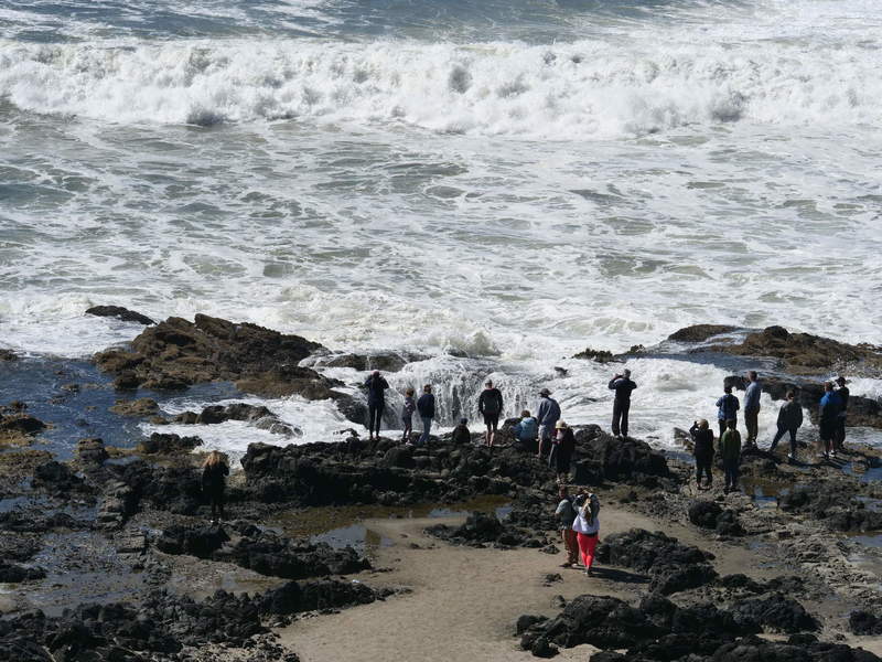
Next up was the popular Thor’s well. I didn’t climb down because it was already getting late, but I watched people enjoying the show, from a safe distance. The formation is called Sprouting Horn, because the ocean water jumps out like a geyser.
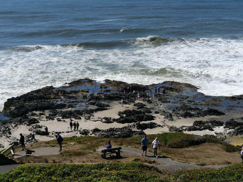
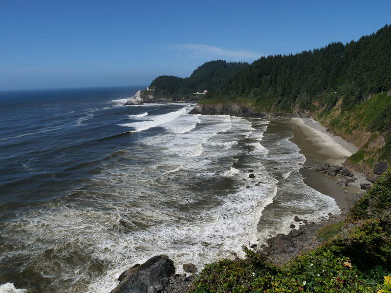
The spot offers some nice coastal views, too.
There was a spot on the road with a nice lighthouse visiblie in the distance.
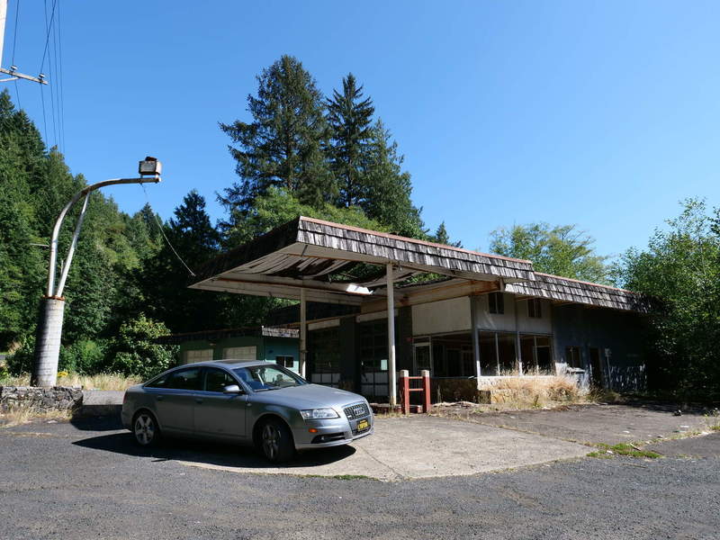
Alsea River
I took a turn east to follow the Alsea river along the OR 34 road to get some Siuslaw Forest action. I found an abandoned gas station like in some postapocalyptic video game. At that point I turned around and went back to the 101.
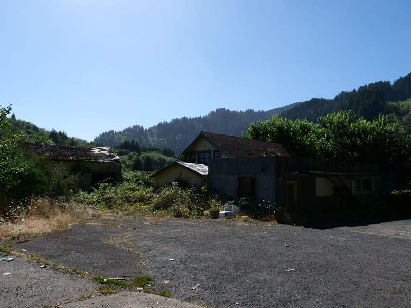
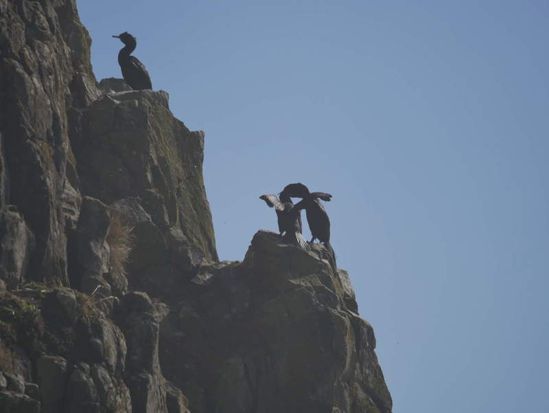
Apparently this is also a nesting ground for a lot of birds, which were feeding at the time I was there.
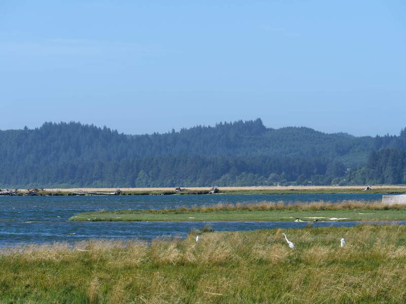
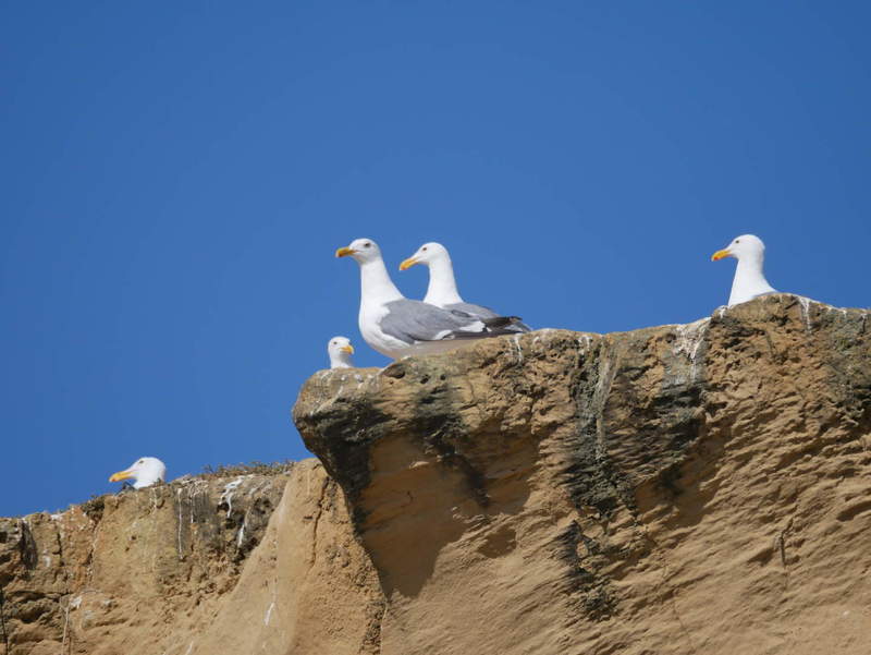
Seal Rock State Recreation Site
Next up on the highway was Seal Rock, which, like many places with that name, obviously has mainly to do with birds. I didn’t see a seal in sight, but many nesting birds.
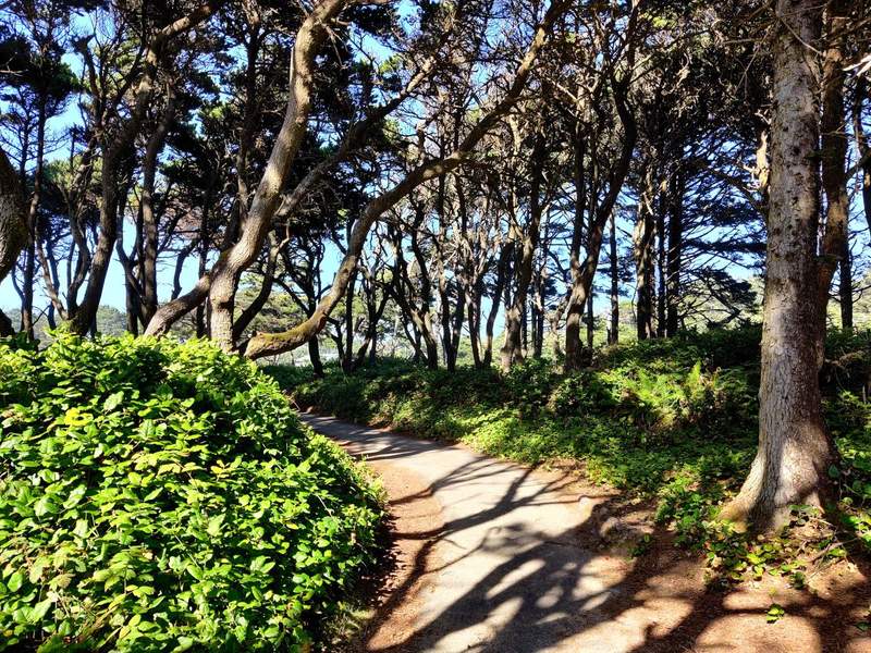
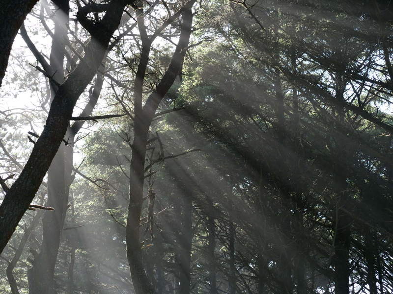
The sun was starting to set and make nice beams in the canopy.
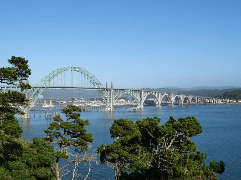
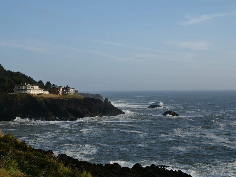
Newport
I felt tired again and took a break at the Yaquina Bay Lighthouse in Newport. It offered some nice views of the bridge and the beach next to the bay.
There was a map of Newport, showing some sights, so I went to Jumpoff Joe because it was along the way. It offered views of Agate Beach.
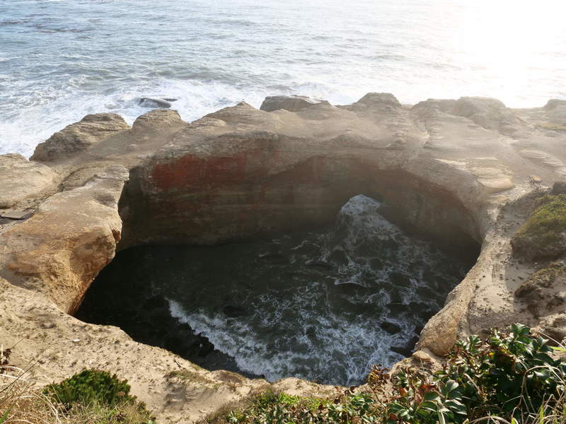
Devil’s Punchbowl Arch was also nearby.
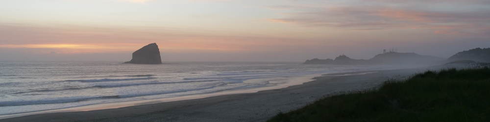
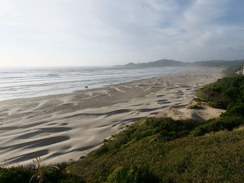
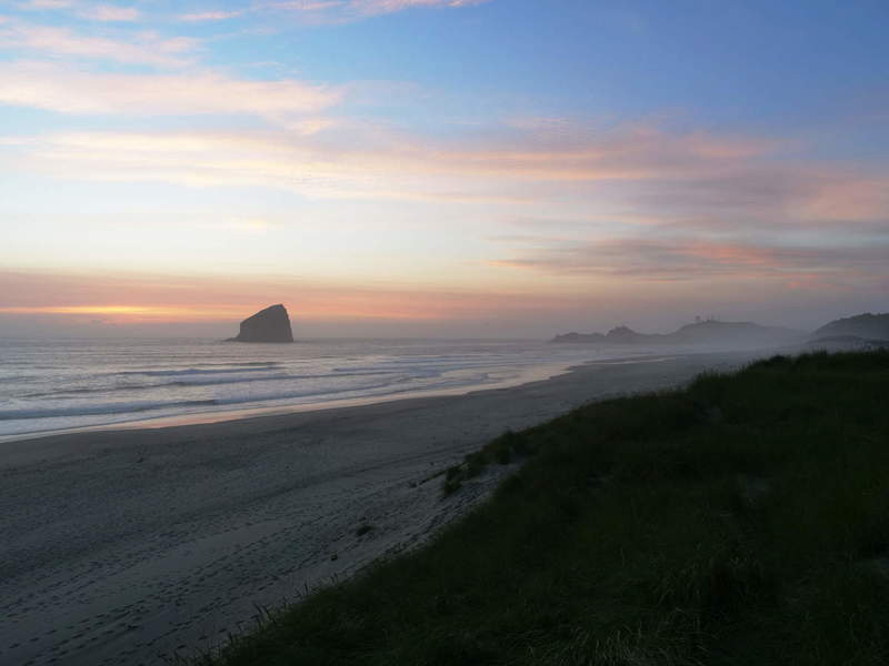
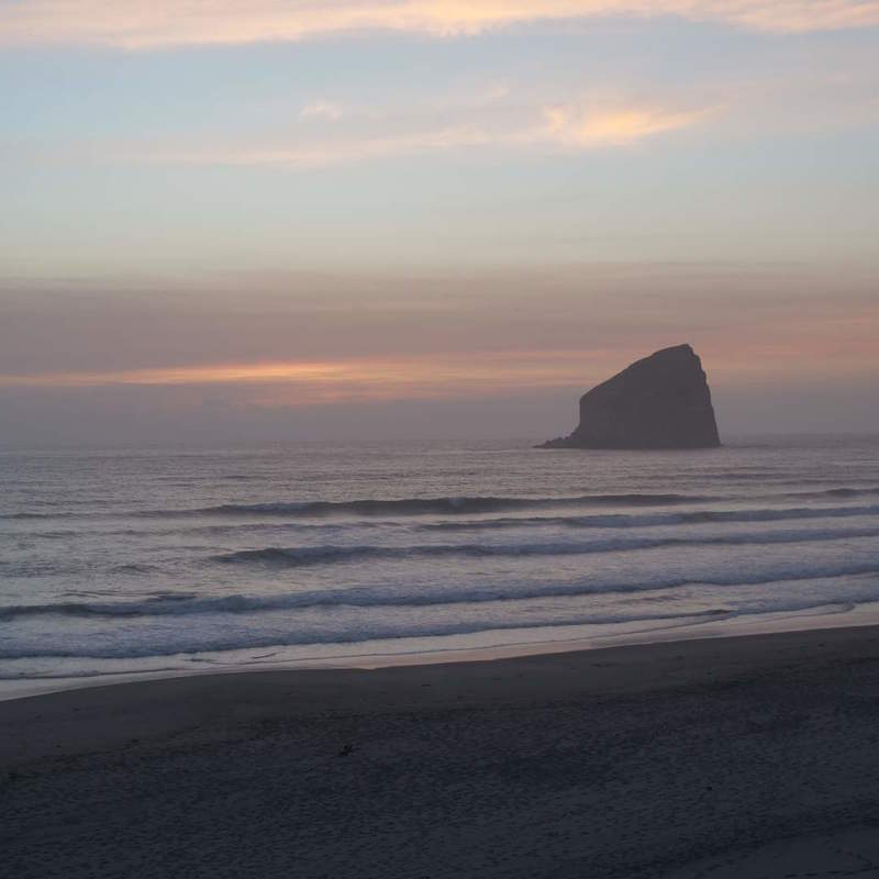
Sunset
I began to drive north towards Tillamook, and took some sunset views along the way.
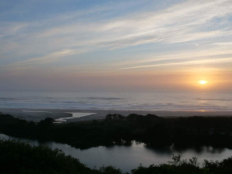
While driving north, I caught the last glimmer of the sunset on a beach in Pacific City. This stop wasn’t a mistake, as the views were breathtaking.
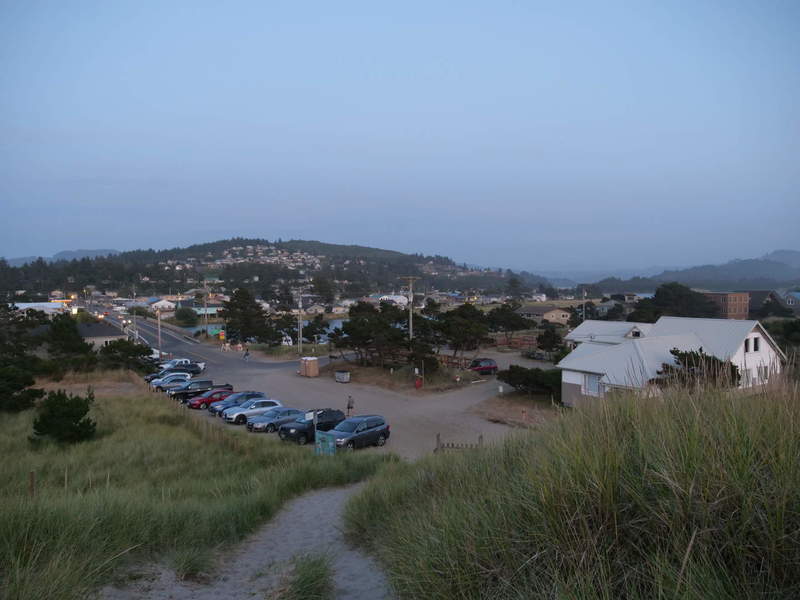
Camping
As it fell dark, I drove towards Cape Lookout State Park, but everything was closed, and no campgrounds in sight. I didn’t have luck with any inns or motels, since they were all booked. I found a free campsite in Tillamook using FreeRoam. Arriving there was weird, because it is next to a cheese shop, probably farm, and totally inconspicuous. I was a bit confused at first, but then saw the huge field with a couple of RV’s parked there. Another night in the car. Guess I’ll be having cheese for breakfast.