Road trip journal #3: Welcome to Oregon
Leaving California behind and roaming around the south Oregon coast.
Summary
- Start: 11:25 (Crescent City, CA)
- Finish: 23:00 (Winchester Bay, OR)
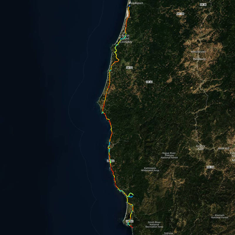
- Distance: 201 mi (322 km)
- Hiking: ~5.5 mi (8.8 km)
- Steps: >23000
- Calories: >4900
- Mood: roaming
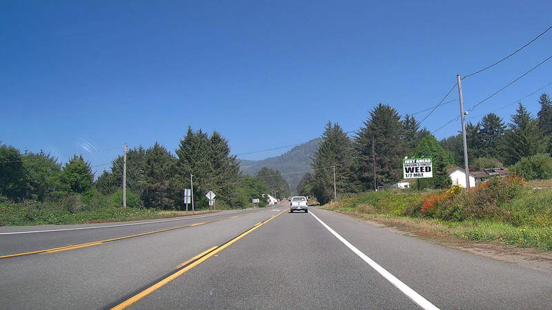
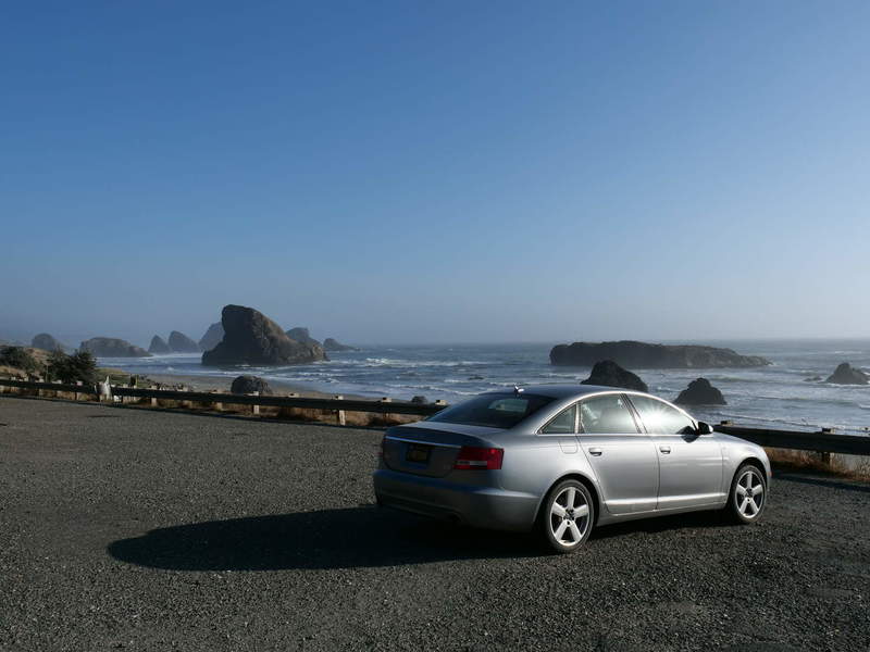
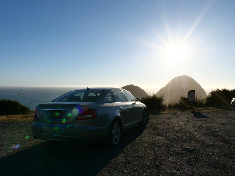
I had no specific plan in mind for the day. No idea where I would sleep nor which places I had to visit. My goal was to get some drone footage (where allowed, obviously), and get as far north as possible, while still enjoying the scenery. Before venturing to Oregon, there was still a small stretch of California. Yes, I went out of the beaten path just to take that picture. And, yes, I am that juvenile.
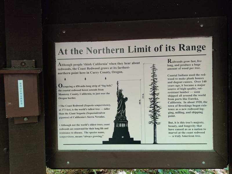
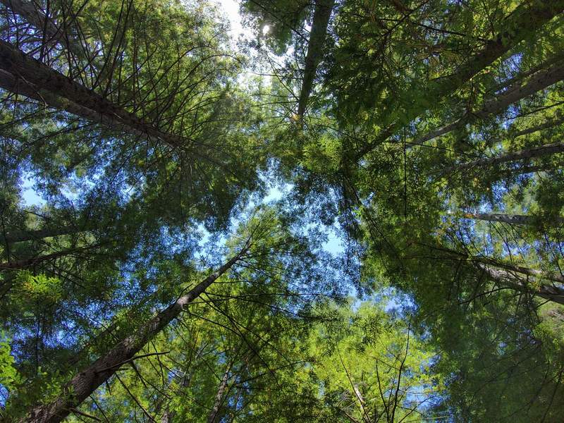
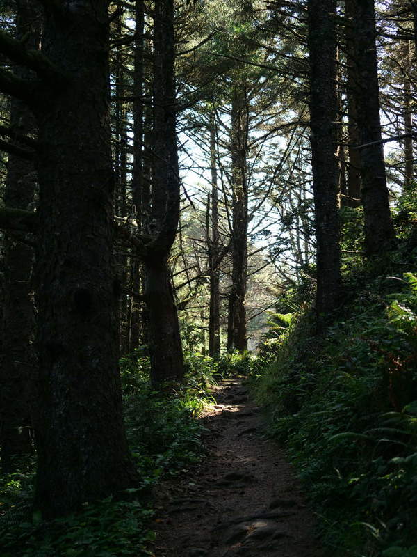
Oregon redwoods
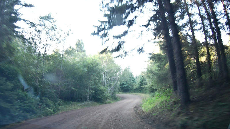
The first stop was the Oregon Redwoods Trail. It is at the southernmost part of Oregon, and apparently the northern limits of the redwoods range. The winding dirt road to the trail was fun to drive, and I wasn’t sure if I am on the right path to get there, as there was no signage until almost the end. Once there, I was completely alone – there were no other cars parked, nor people present. I had the trail to myself.
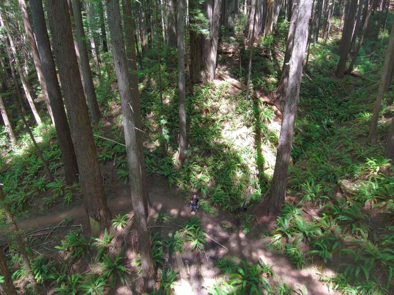
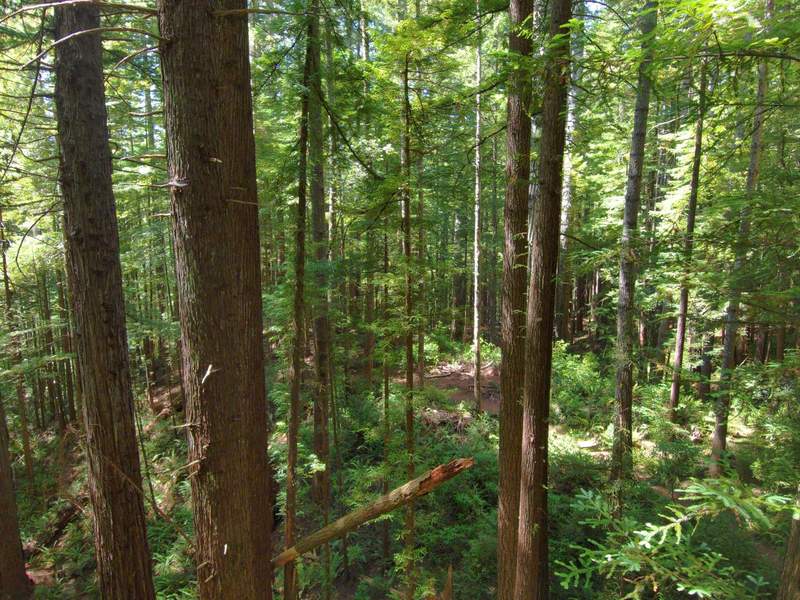
The hike is nice, but nowhere near as impressive as the Redwoods parks in California. Around midway on the trail, I flew around the forest a bit and got some nice shots.
The hike took about 1.5 hours. I wasn’t in a rush, so I took a break to eat and make coffee before going back out.
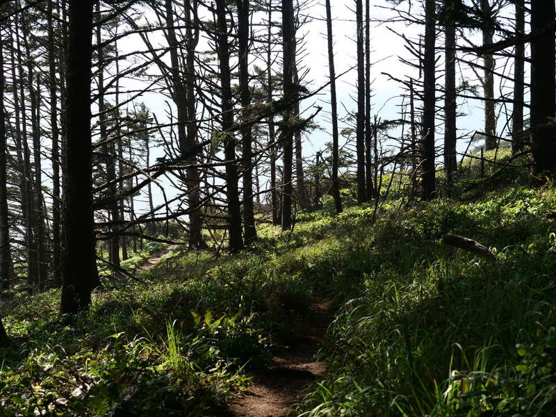
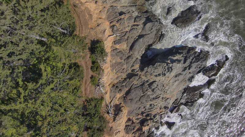
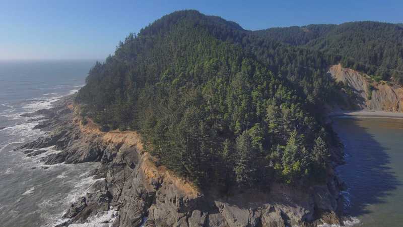
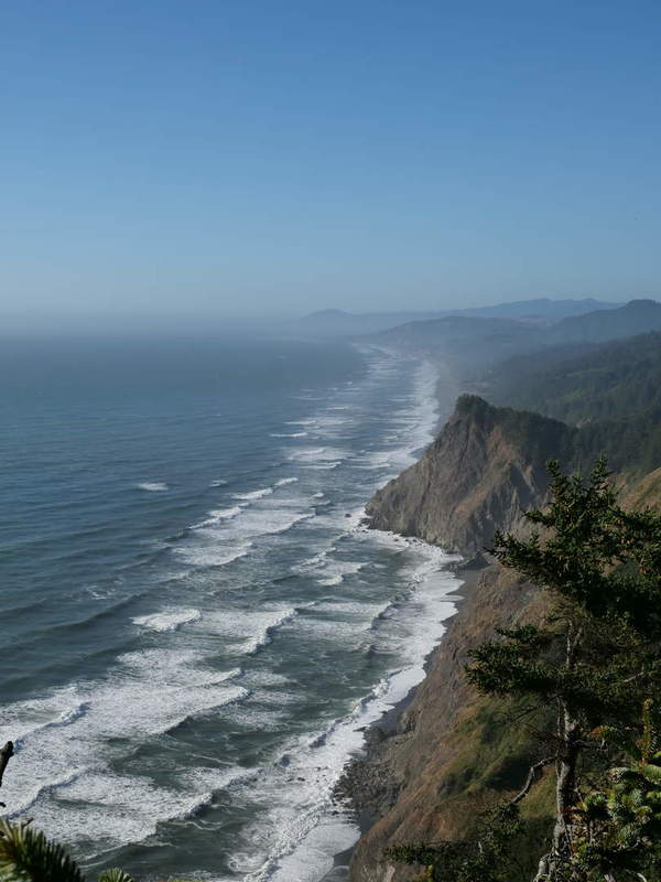
Cape Sebastian Point
I ventured out north on the Oregon Coastal 101 to Cape Sebastian Point through the Cape Sebastian State Scenic Corridor, because it was marked on my map. I had no idea what to expect when I got there.
The scenic corridor was very scenic, and I was excited for the views once on top.
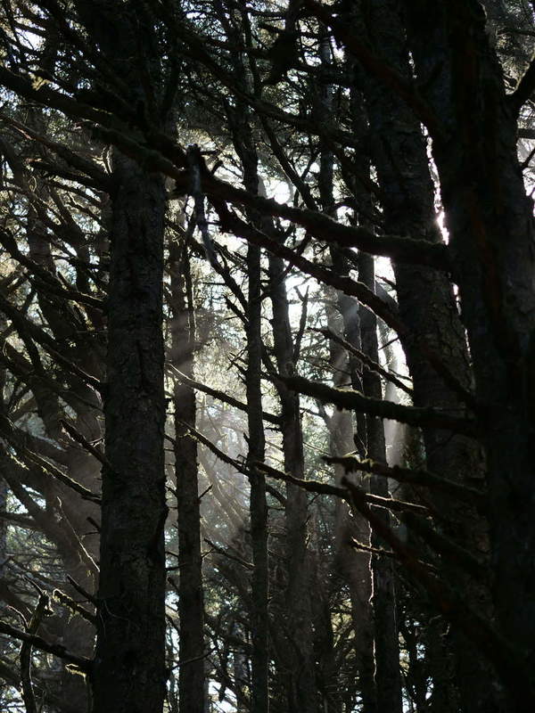
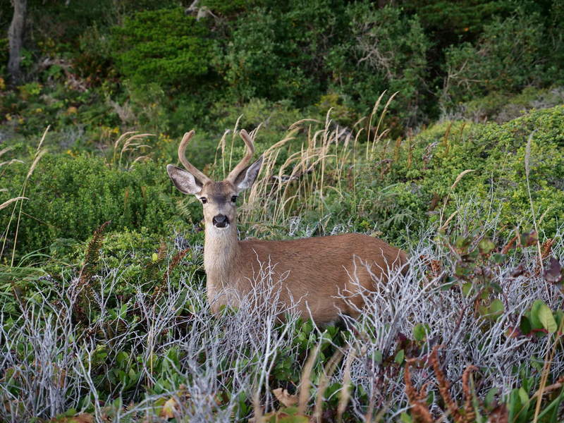
The view was awesome. There was a trail, which I wasn’t aware of before getting there. I had to take it just to get a better shot of the scene. On the trail it became obvious why the cypress is Oregon’s signature tree.
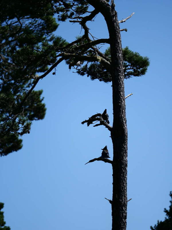
Along the way some birds were arguing. I didn’t understand them, though.
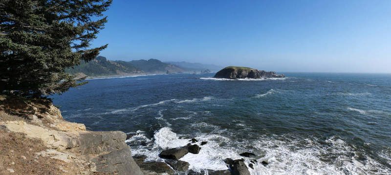
Once at the bottom, I awed at the view and took some aerial footage.
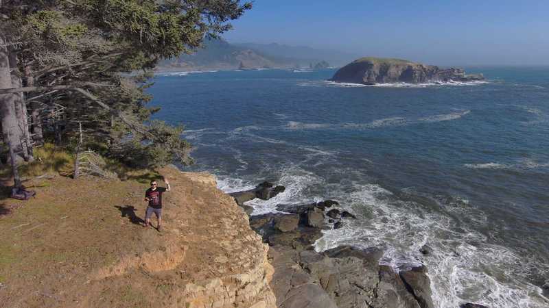
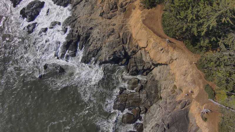
The hike back was a bit strenuous because I had to climb back up this hill. I knew there was a catch going down…
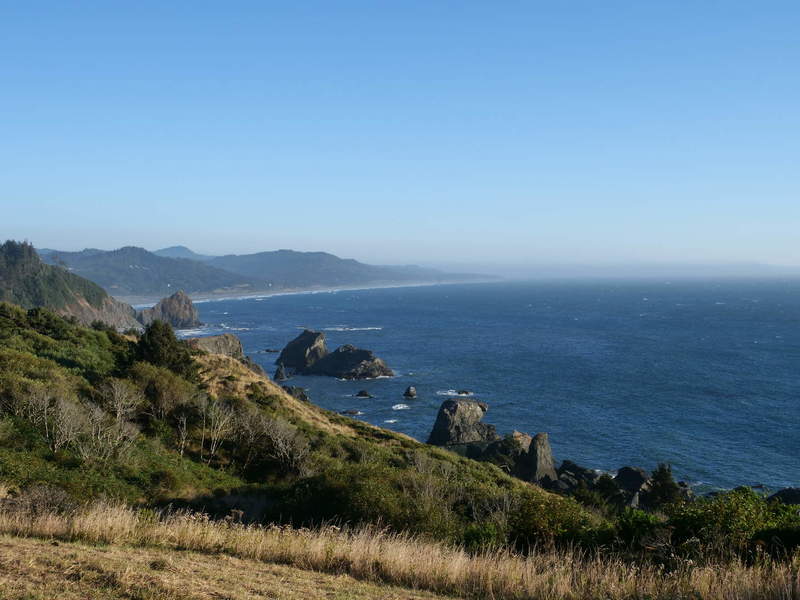
At least on the top there is this view looking north.
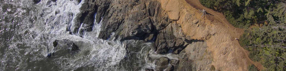
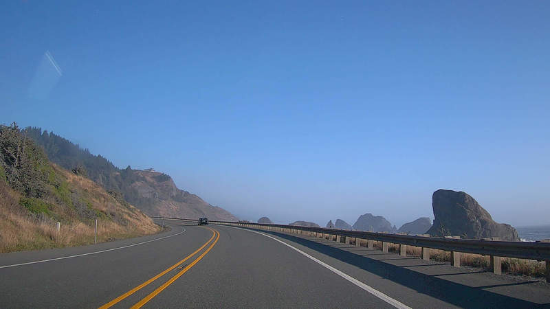
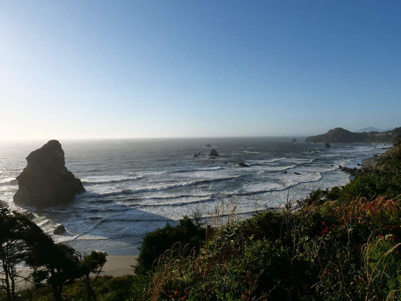
I had to get closer to those rocks.
Otter Point
I took the Old Coast Road to Otter Point State Recreation Site, which led to some nice coastal views.
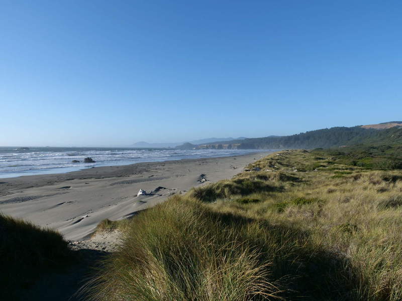
The rest of the road was bit rocky.
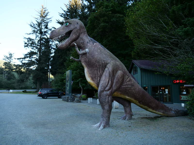
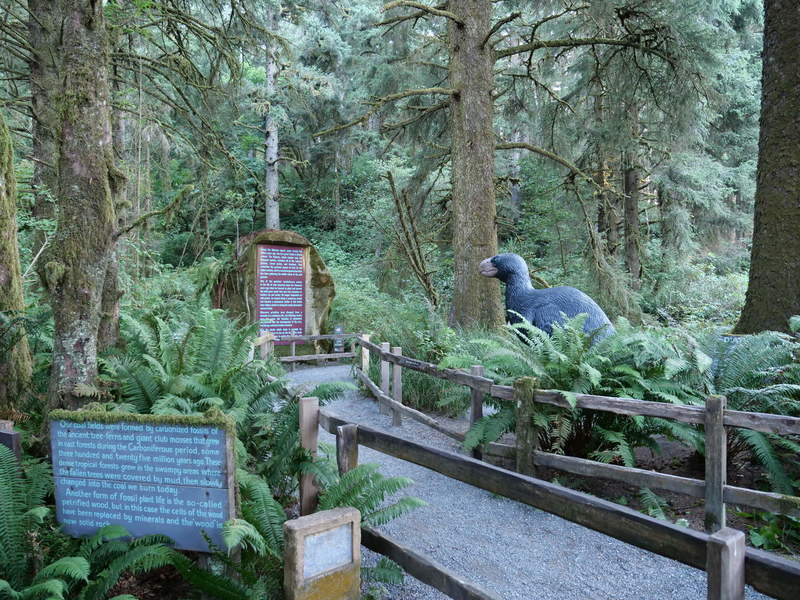
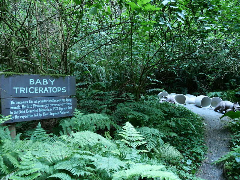
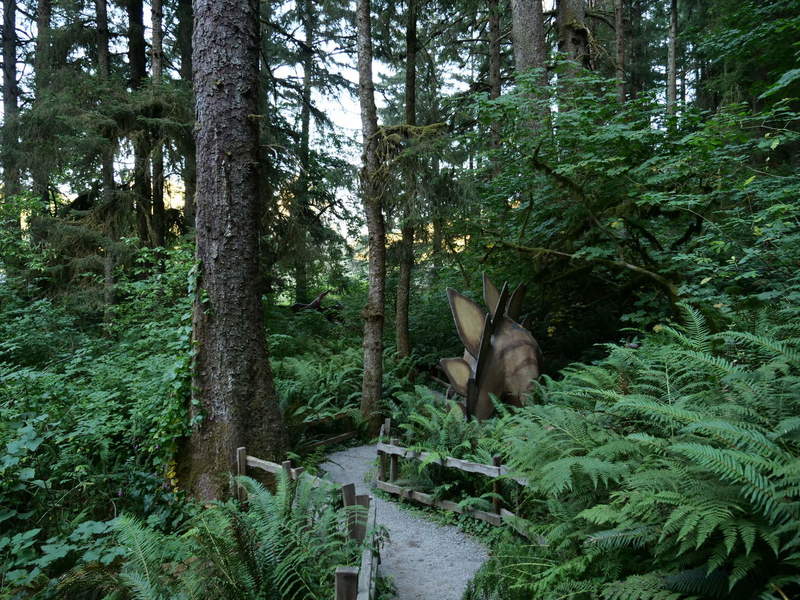
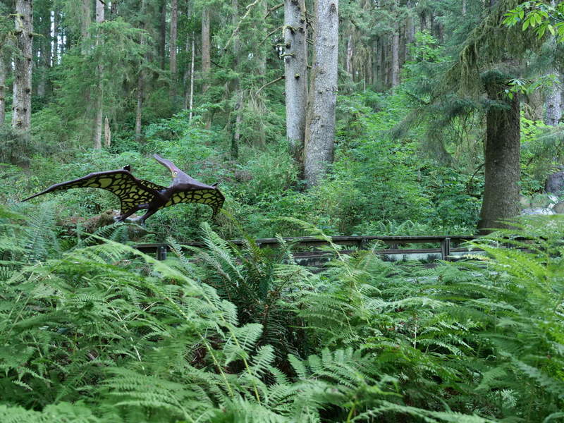
Prehistoric Gardens
I drove north without a plan. Until I reached Prehistoric Gardens. I hadn’t planned to visit, but they were still open around 19:45, and it was a short walk around the park. So, I decided to venture in, and enjoyed the old grove with models of dinosaurs. I realized that I wouldn’t feel safe keeping dinosaurs as pets.
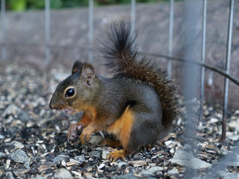
There was a squirrel feeding pit just outside the entrance.
Sunset views
After that I drove into the sunset.
Port Orford
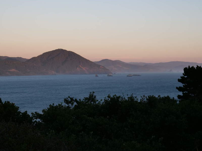
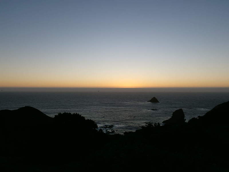
In order to get some final sunset shots, I randomly went to Port Orford Heads State Park along the way, because there was a short trail to some viewpoints. They did not disappoint.
Venture into the night
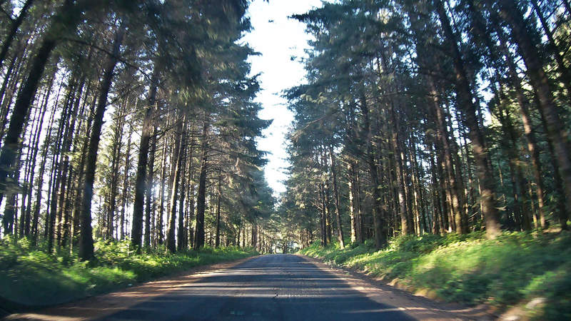
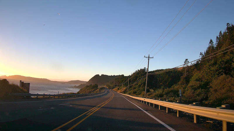
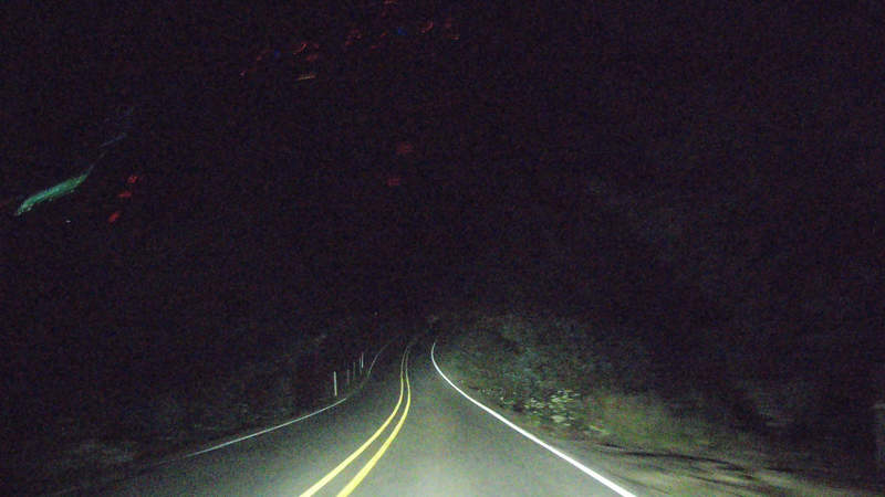
It was falling dark, so I decided to get as far north as possible, to not fall behind schedule overall. There were some nice drives in between, and almost no cars. I was free to drive my own pace and relax.
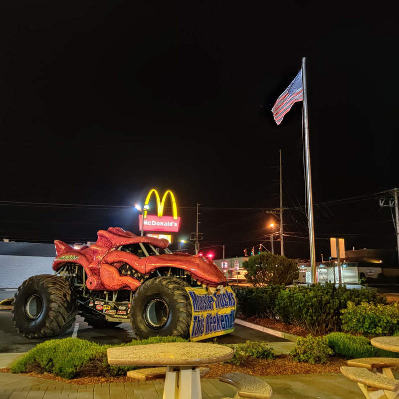
At that point, it was already very late, so I stopped by a clown-based establishment to replenish my energy intake, as it was the only thing open after 10 PM. I thought that the monster truck next to a patriotic flag, supported by a fast food chain logo in the back, is a good representation of America.
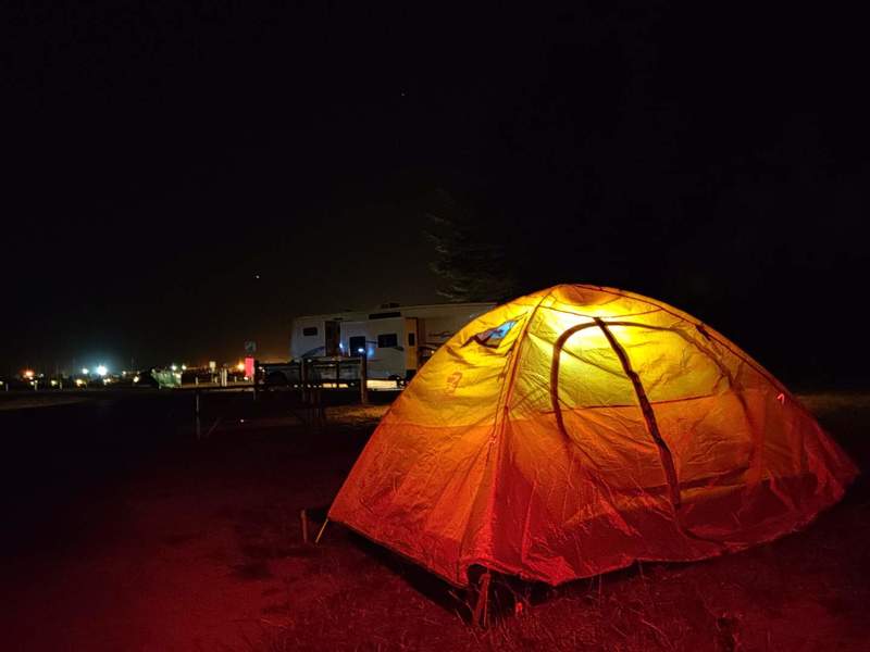
Finally, after some more driving up north and searching for a bit, I was lucky enough to find a camping spot in Winchester Bay.
Overall, given that there was no plan, just a direction, and the many random detours along the way, the day was pretty successful as I’ve seen many new places.