Road trip journal #1: Getting Lost
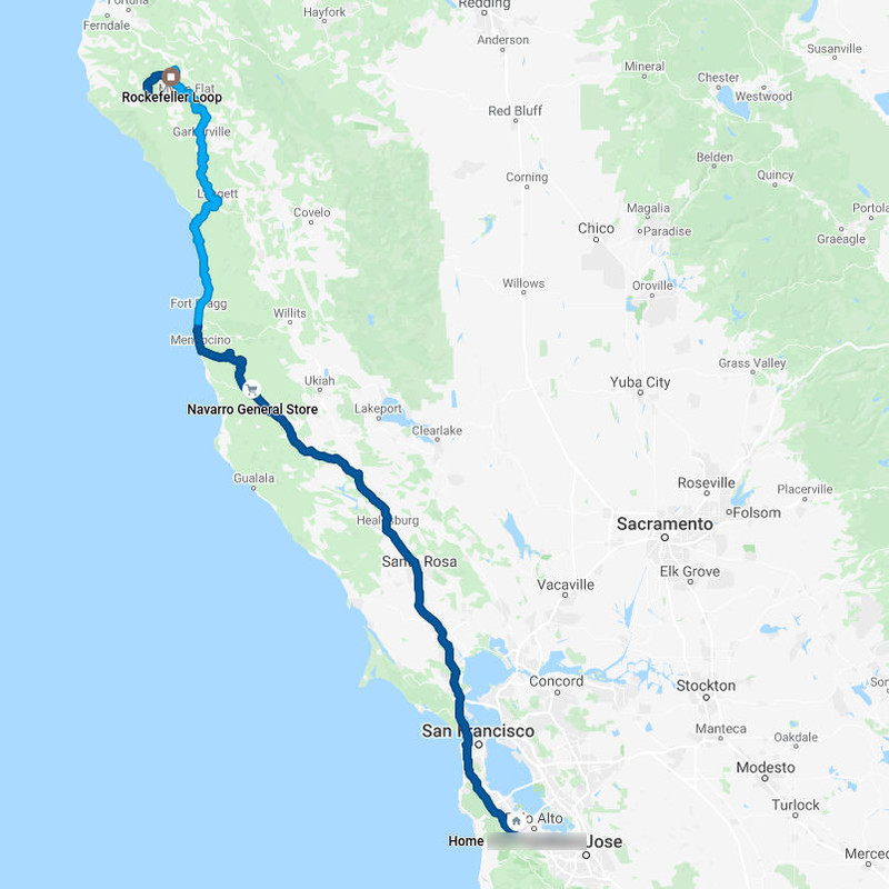
The first day of the road trip involved getting away north from the Bay area through some mountains, redwood forests and along the Pacific coast. I ended up sleeping at the Lost Coast.
- Start: 11:10 (home, CA)
- Finish: 19:45 (Mattole Beach, CA)
- Distance: 335 mi (539 km)
- Mood: stressed
In preparation for the trip, the day prior I stressed to finish everything for work, and started packing at night. I also cut my hair (second time now), because I’ll be gone for a while, and it’s easier to manage shorter hair on a trip. Packing finished in the morning, I ventured out on Saturday August 8th around 11 AM, which was a bit later than originally intended. However, I did not want to forget anything, and wanted to be rested while driving. The first day of a trip is always the longest because it takes some time to get out of civilization. During the drive I felt a bit of residue stress from work, packing, and minor lack of sleep.
This post took a lot of time to prepare, especially to sort out pictures and write, and I still omitted some thoughts and information. I might do updates every several days to reduce the workload.
I will update the post with better image gallery formatting (didn’t have time to work on it), and some 360 photos and videos from Avenue of the Giants.
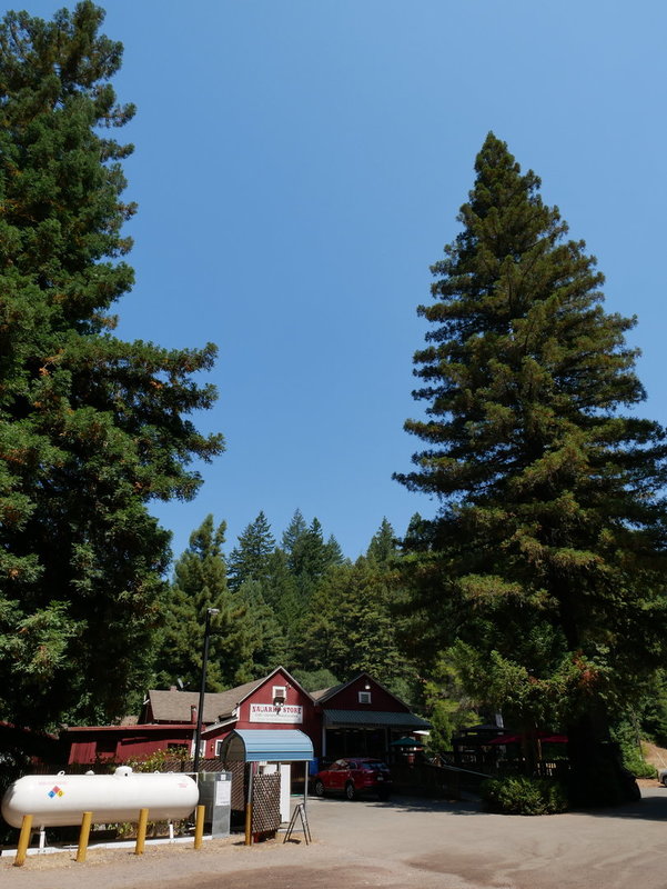
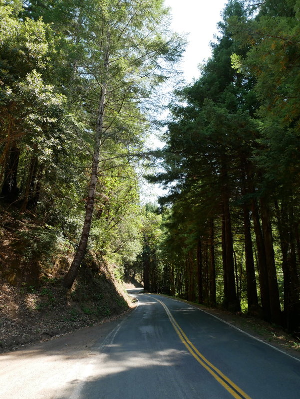
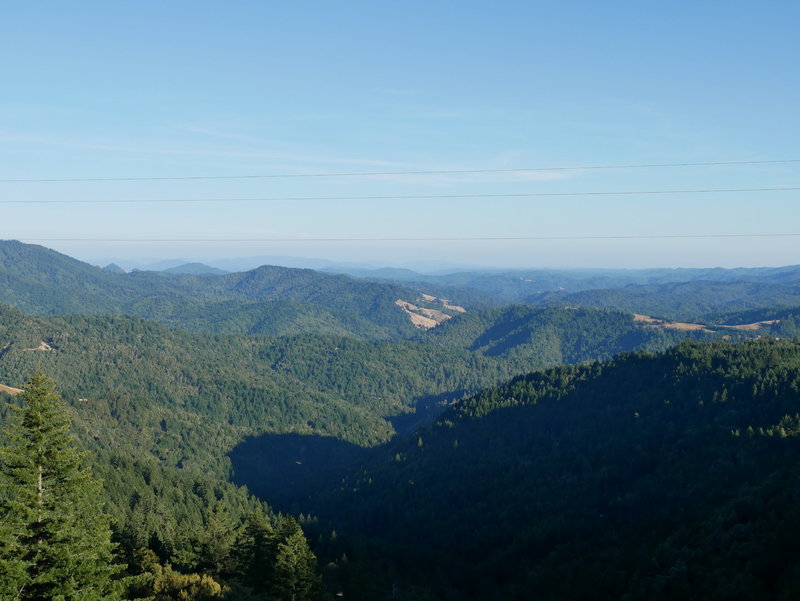
CA 128 and Navarro
The route went from CA 280 north, through Golden Gate bridge and CA 101. Because it was annoying driving in traffic, I took a turn to scenic CA 128. Unfortunately I also encountered some traffic even there. The first stop on CA 128 was Navarro. It is literally just a small gas station and a gift shop. However, avid players of Fallout 2 will know the importance of Navarro in the year 2241. I then took a turn to a nearby mountain road, which was a really fun drive.
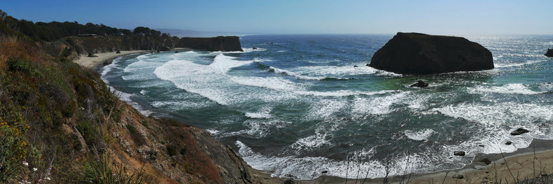
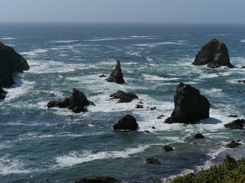
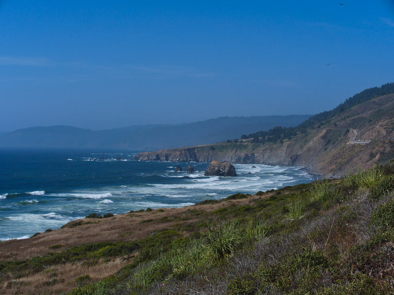
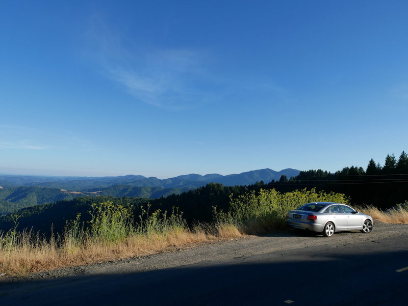
California Highway 1
From there, I took CA 1 northbound to get back to the 101. This was my first time fully driving CA 1 to its northernmost end, which was also a fun mountain road.
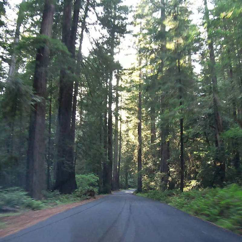
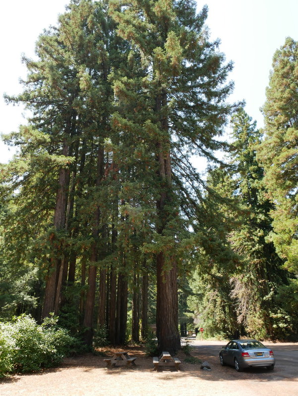
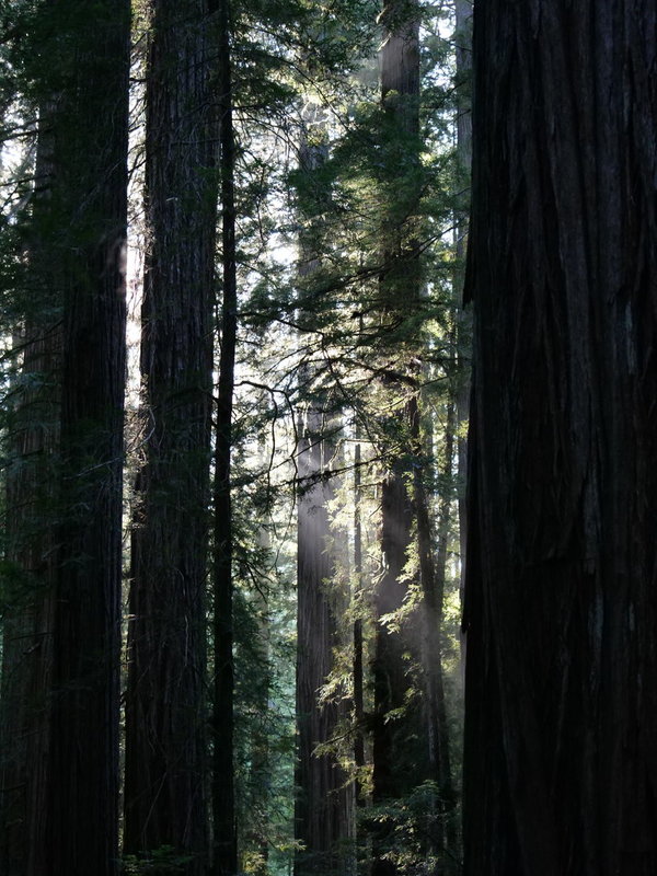
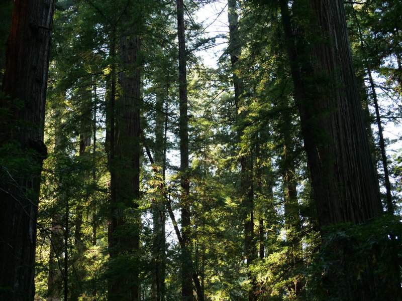
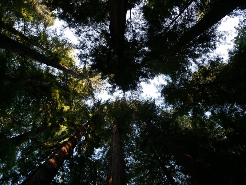
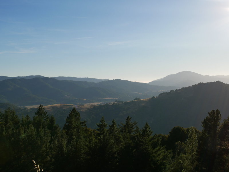
Avenue of the Giants
The 101 took me to the next stop, which is Avenue of the Giants. This is a very, very nice drive through a huge California redwoods forest. Here I recorded some 360 video, which I intent to snapshot and process later. I took a brief “hike” in Rockefeller Loop redwood trail before embarking on Mattole road.
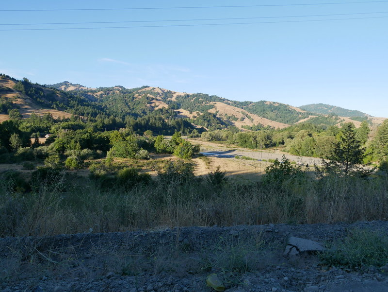
Mattole road
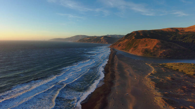
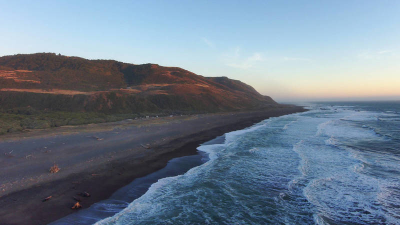
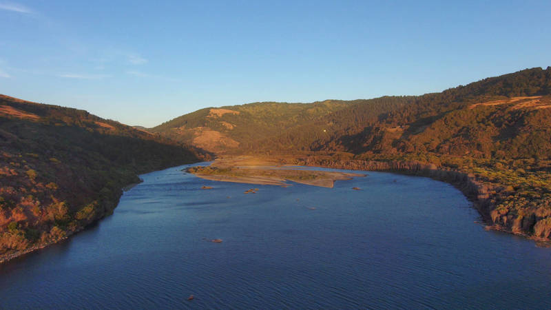
The ~1 hour drive from Avenue of the Giants then took me to the campground, where I spent the night. I wanted to get here before sunset to take some drone footage in the area where it is allowed. I didn’t fly high nor far.
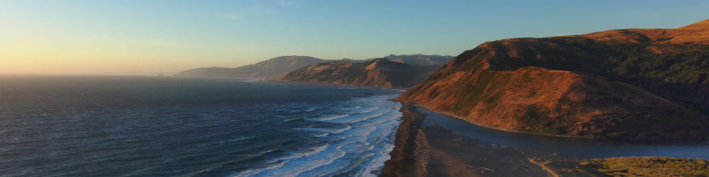
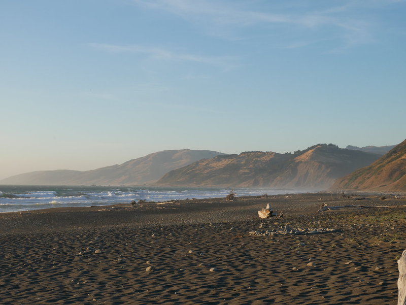
Mattole beach campground
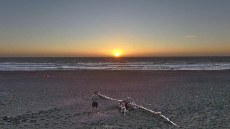
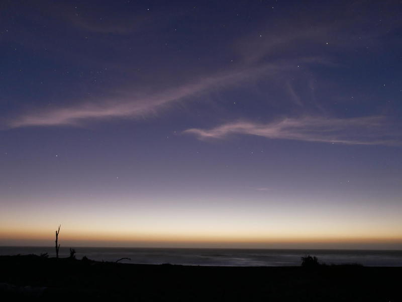
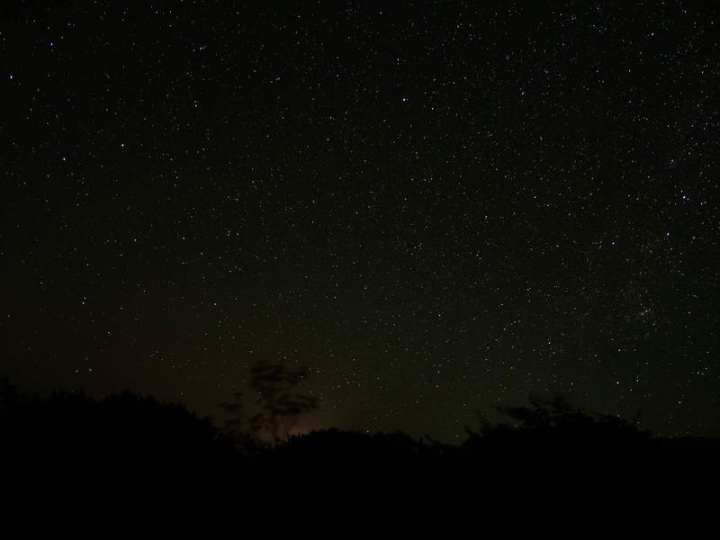
Ate dinner on the beach while looking at the Pleiades. It got really cold really fast. Unfortunately the campground was full, so I had to sleep in my car. I’ve made all the preparations for this circumstance, but it took some time setting up and figuring out how to rearrange stuff in the car, given that it’s the first night sleeping in the car on this trip. The Milky Way and the stars were highly visible already at 10 PM.
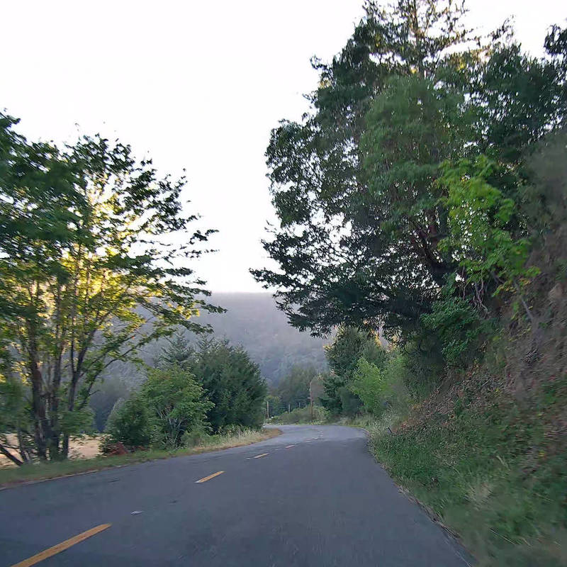
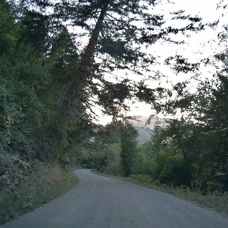
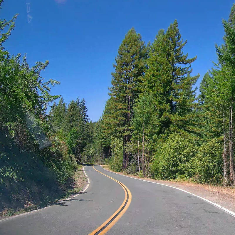
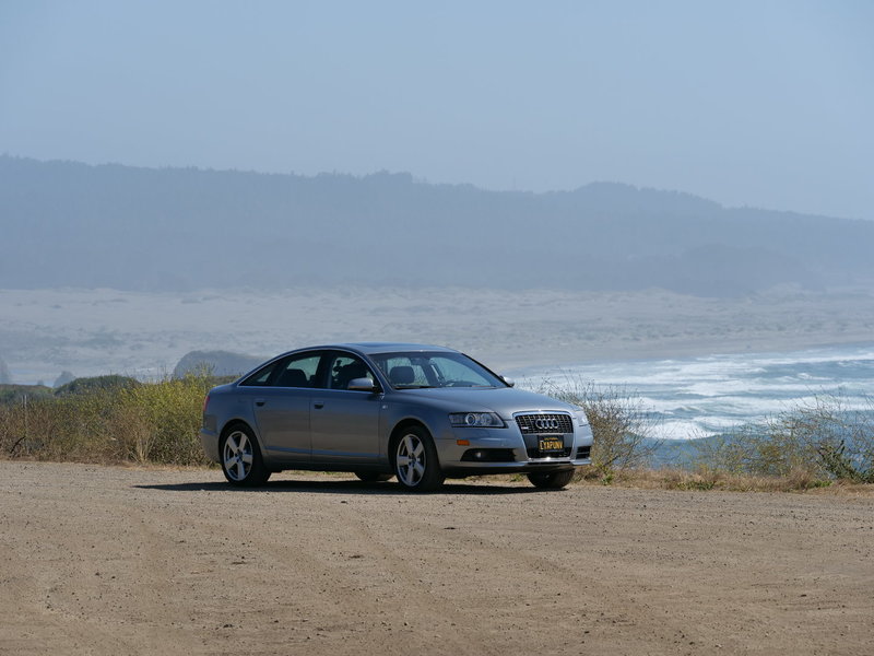
Drive
Here are some snapshots from the drive, cropped stills from dashcam footage. Unfortunately I have misplaced my dashcam SD card and could not yet find it.